
Bhambore
Thatta District, Sindh
On video
Bhanbore Museum and Ruins by Pakistan Sights & Food on YouTube. Not ours, and not an endorsement — it is the clearest look at the drive and the valley we could find.
Bhambore is a port city that was alive from the first century BCE to the thirteenth century AD, and may be Debal — the town Muhammad bin Qasim took in 711. It holds the remains of a mosque dated by inscription to 727, among the earliest known in the region.
How far you can drive: The distances below are to Thatta. Bhambore is back towards Karachi, on the N-5 between Dhabeji and Gharo, about 65 kilometres east of Karachi — so from the Karachi side you reach it before Thatta, not after. The ruins are beside the highway; there is no difficult road.
What it costs to drive to Thatta
| From | Distance | Driving | Petrol |
|---|---|---|---|
| Islamabad | 1364 km | 16.3 h | Rs 37,300 |
| Rawalpindi | 1354 km | 16.3 h | Rs 37,000 |
| Lahore | 1156 km | 13.6 h | Rs 31,600 |
| Karachi | 101 km | 1.7 h | Rs 2,800 |
| Peshawar | 1499 km | 17.8 h | Rs 41,000 |
| Multan | 836 km | 10.1 h | Rs 22,900 |
A car doing 12 km/l at today’s Rs 328.00/litre. Open a row to work it out for your own car, your own speed and with the air conditioning on — or see every distance from Thatta.
What it is
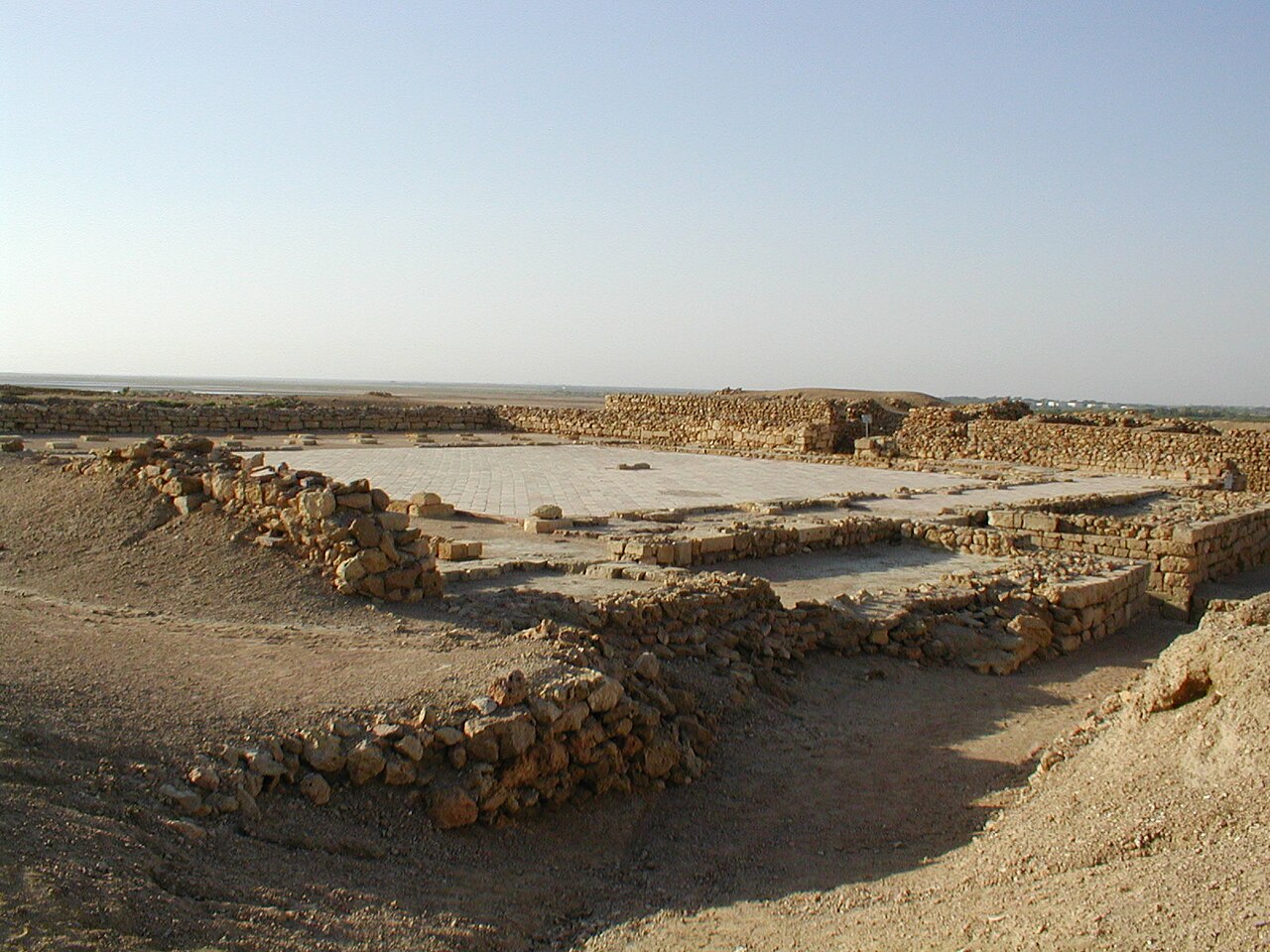
City ruins on the northern bank of Gharo creek, in Thatta District, about 65 kilometres east of Karachi, lying right on the N-5 National Highway between Dhabeji and Gharo.
The site holds three distinct periods: Scytho-Parthian, from the first century BC to the second century AD; Buddhist, from the second to the eighth; and early Islamic, from the eighth to the thirteenth. The city was gradually deserted after the thirteenth century because the Indus changed course.
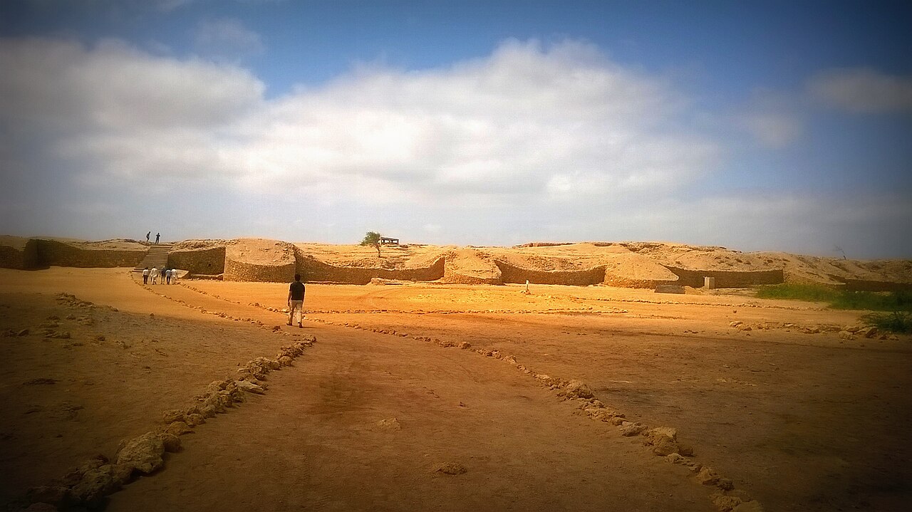
Is it Debal?
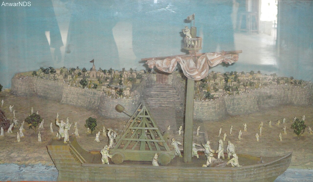
Some archaeologists and historians argue Bhambore is the historical Debal, the port that Muhammad bin Qasim took in 711–712 after defeating Raja Dahir, the last Hindu ruler of Sindh.
That identification has not been confirmed, and a great deal of research and excavation has gone into trying. It is worth treating as the open question it is rather than the settled fact it is often presented as.
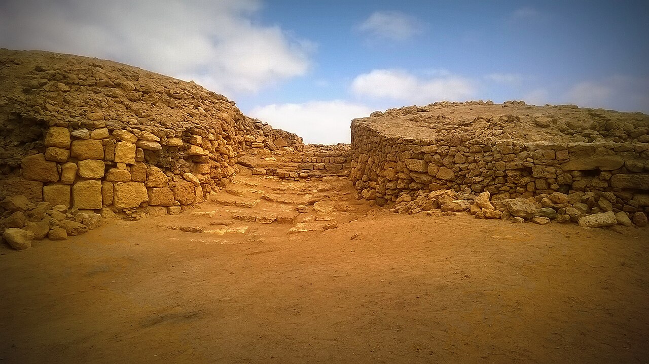
The mosque, and the digs
The remains of a mosque dated by inscription to 727 AD survive on the site — among the earliest known anywhere in the region.
Preliminary excavation was done by Ramesh Chandra Majumdar in 1928. The major programme ran from 1958 to 1964, under F. A. Khan of the Department of Archaeology. In 2004 the department submitted the site for UNESCO World Heritage consideration.
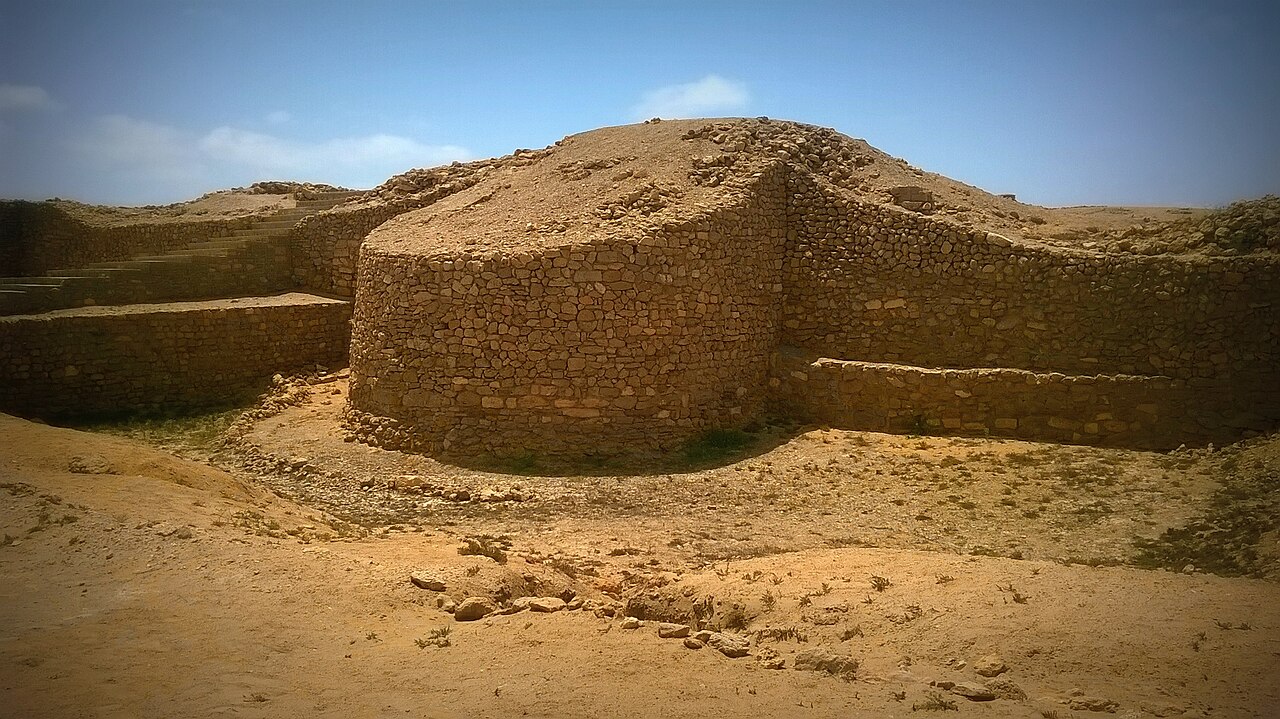
What there is to see
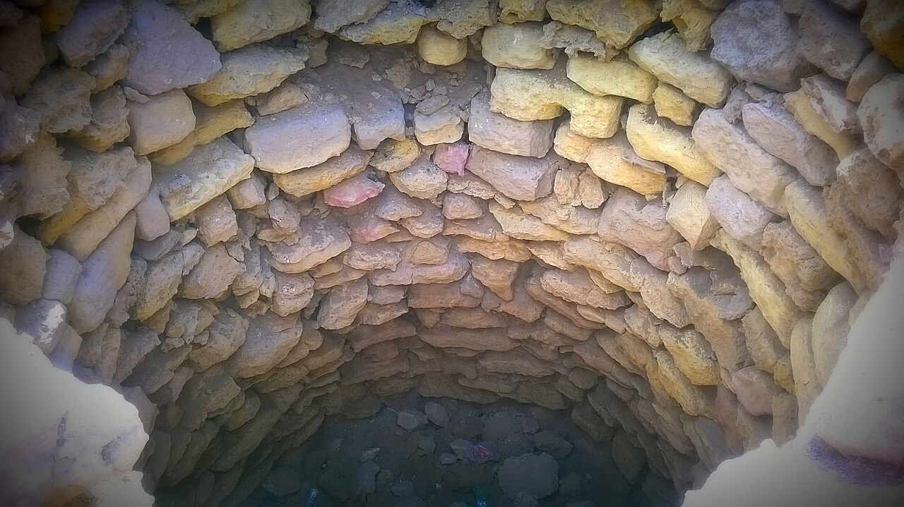
- The walls
- The north, south and gate sections, standing above the creek.
- The mosque foundations
- Dated by inscription to 727 — the reason the site matters.
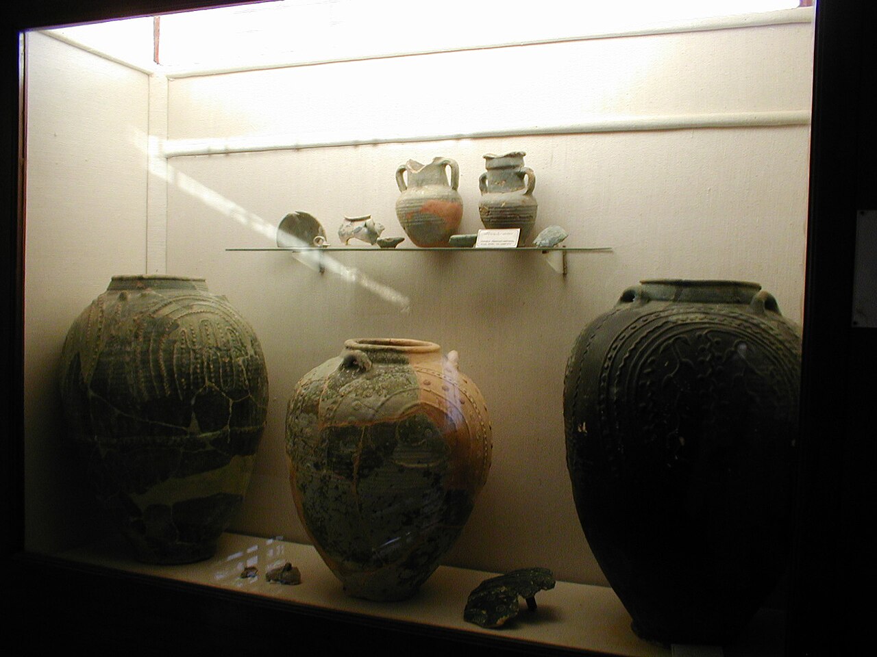
- The site museum
- Pottery, glass and coins from the excavations.
- Gharo creek
- The water the port worked on, before the Indus moved.
- Thatta and Makli
- Further east on the same road.
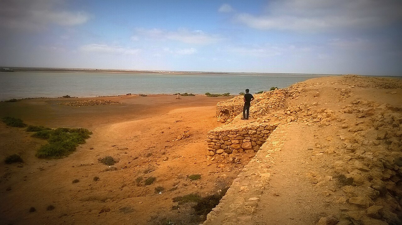
When to go, and when not to
November to February. The ruins are low, open and entirely unshaded, and this is coastal Sindh.
It is close enough to Karachi to be a half-day, and it sits on the way to Thatta — which is the sensible way to do all three.
Where this comes from
- Banbhore — Wikipedia — The first-century BCE to thirteenth-century AD span, the three archaeological periods, the position on the N-5 between Dhabeji and Gharo and 65 kilometres from Karachi, the abandonment as the Indus moved, the contested identification with Debal and Muhammad bin Qasim's conquest, the 727 mosque, the Majumdar and F. A. Khan excavations, and the 2004 UNESCO submission. Written from it, not copied; Wikipedia is CC BY-SA 4.0.
- OpenStreetMap — Road distances and driving times, via OSRM.