
Chitral
Lower Chitral District, Khyber Pakhtunkhwa
On video
Unseen Local Life of Kalash Valley by WildLens by Abrar on YouTube. Not ours, and not an endorsement — it is the clearest look at the drive and the valley we could find.
Chitral is the far north-west — a town on its own river, under Tirich Mir, reached until recently only over a pass that closed for half the year. It was a kingdom until 1969, it fought its own campaign in the first Kashmir war, and the three Kalash valleys south of it are the last of a religion that predates Islam in the region.
Weather at Chitral
Up at 1,656 m: 7.5°C there now, clear. Over the next 24 hours -4.4°C to 8.4°C. It goes below freezing.
This is the weather at Chitral, not a road report — whether the road is open depends on ploughing, landslides and local decisions no forecast knows about, so check before you set off. Forecast from MET Norway, CC BY 4.0.
What it costs to drive there
| From | Distance | Driving | Petrol |
|---|---|---|---|
| Islamabad | 404 km | 4.6 h | Rs 11,000 |
| Rawalpindi | 403 km | 4.7 h | Rs 11,000 |
| Lahore | 728 km | 8.3 h | Rs 19,900 |
| Karachi | 1778 km | 20.6 h | Rs 48,600 |
| Peshawar | 333 km | 4.2 h | Rs 9,100 |
| Multan | 874 km | 11.1 h | Rs 23,900 |
A car doing 12 km/l at today’s Rs 328.00/litre. Open a row to work it out for your own car, your own speed and with the air conditioning on — or see every distance from Chitral.
What it is
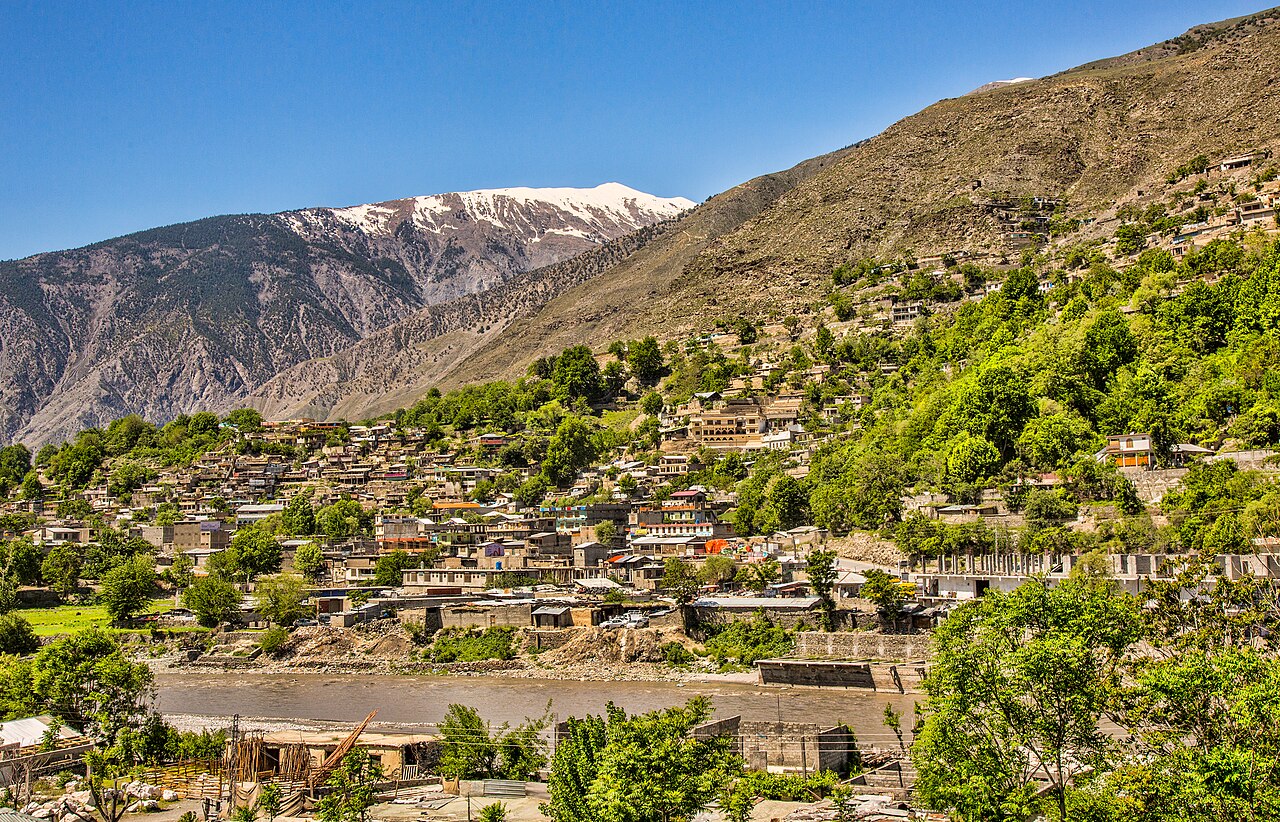
A town at about 1,500 metres on the Chitral river, capital of Lower Chitral District. The climate is dry Mediterranean rather than monsoon — almost no summer rain, very hot summers, and nights that occasionally drop to −10°C in winter. Sixty centimetres of lying snow in the town is unremarkable; higher up it reaches twenty metres.
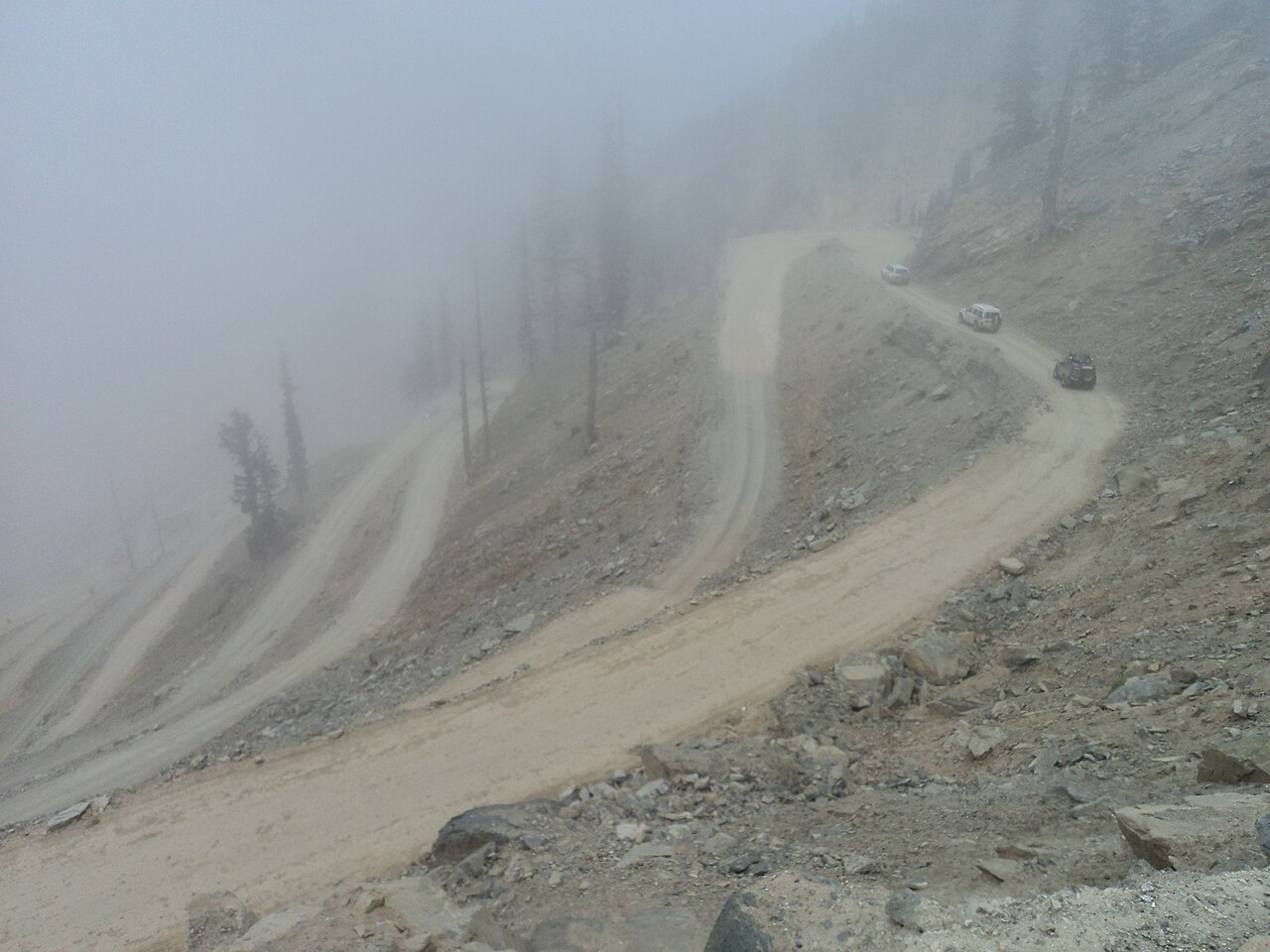
It is cut off from the rest of Khyber Pakhtunkhwa by the Lowari pass, which is the whole reason the place developed the way it did.
A kingdom, and a siege
The record of the earliest inhabitants is thin, but Gandharan graves are scattered through the valleys, and in the second century this was part of Kanishka's Kushan empire — which left Buddhist stupas behind it.
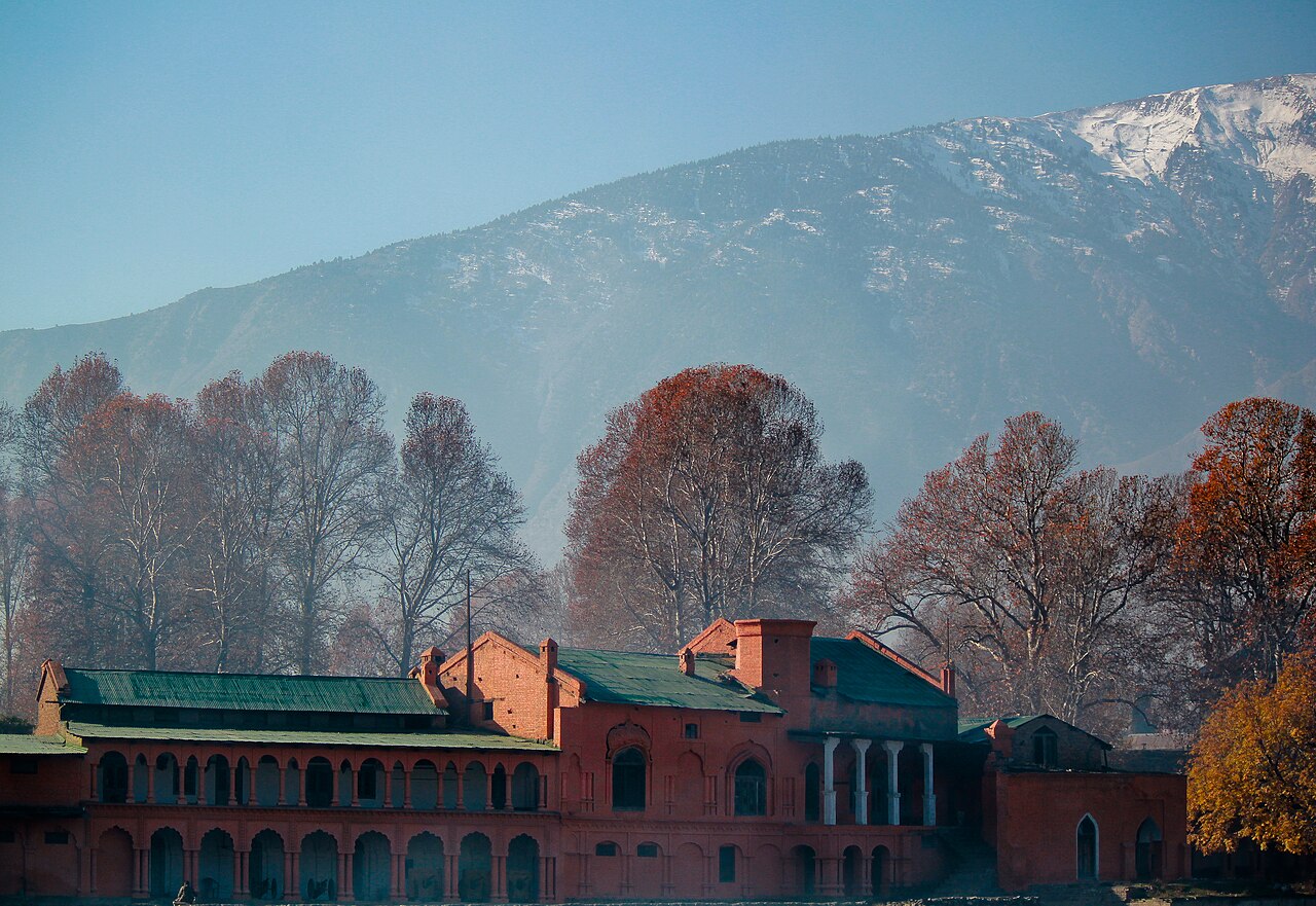
The Raís dynasty ruled from 1320 until the fifteenth century; from 1571 Chitral was the capital of its own kingdom under the Katūr dynasty. In 1895 a British garrison was besieged in Chitral Fort for a month and relieved after six weeks, after which the British installed the young Shuja ul-Mulk as mehtar. He ruled for the next forty-one years.
1947, and the Kalash
Chitral acceded to Pakistan and then took part in the first Kashmir war directly: the mehtar Muzaffar ul-Mulk declared jihad, the Chitral Scouts relieved the Gilgit Scouts in the Domel and Kamri sectors, and the Chitral Bodyguard under prince Mata ul-Mulk led a long siege of Skardu that ended in the surrender of the Dogra force there.
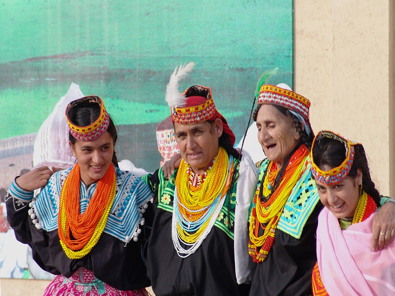
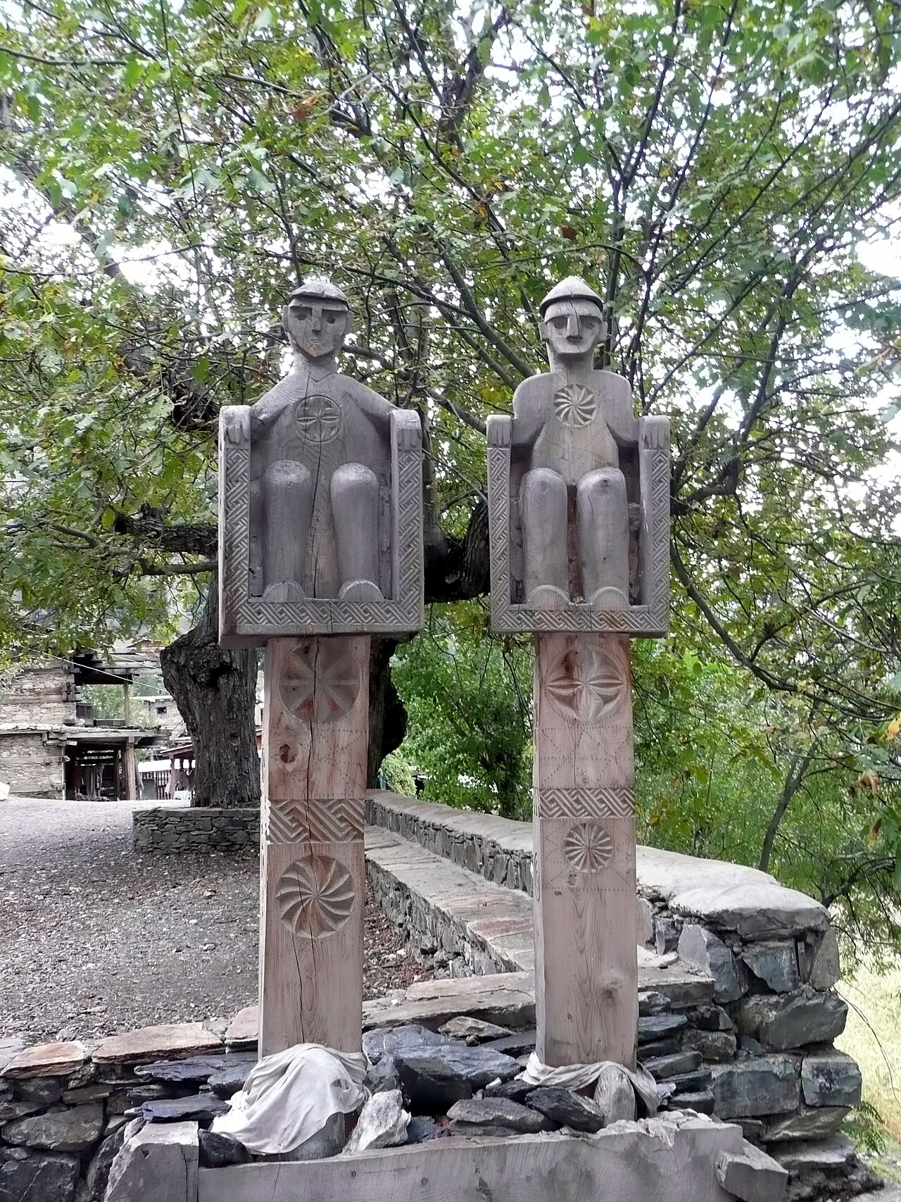
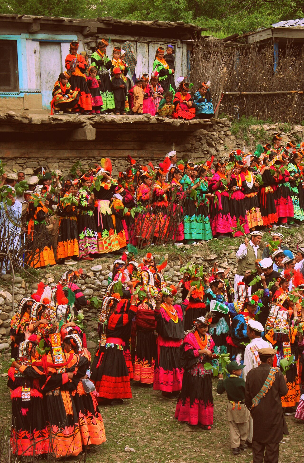
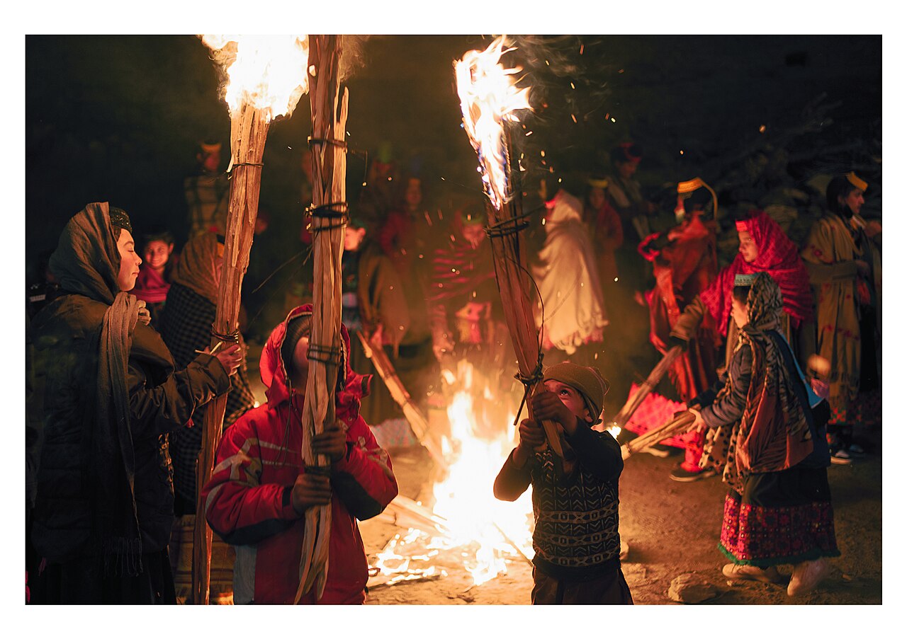
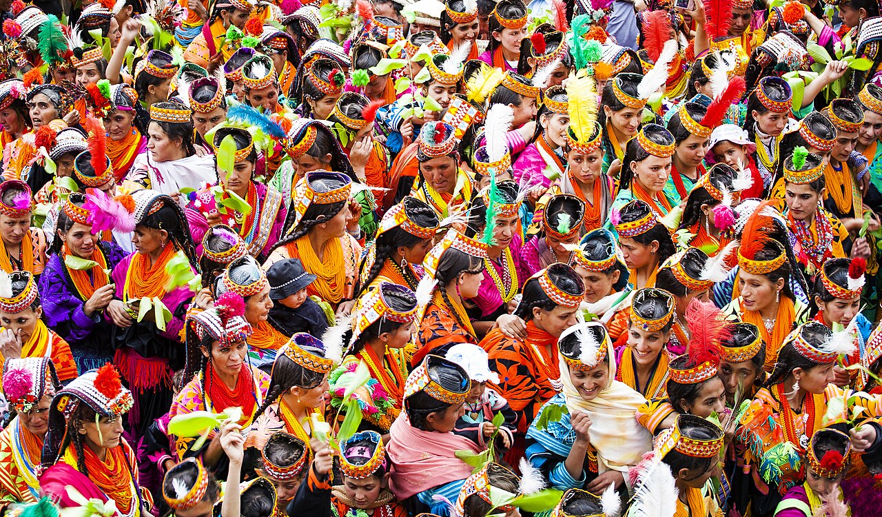
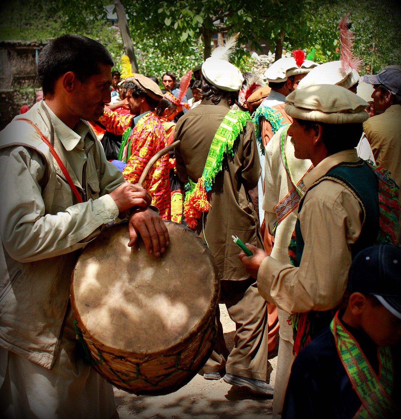
South-west of the town are Bumburet, Rumbur and Birir — the three valleys of the Kalash, who keep a polytheistic religion and a festival calendar of their own: Chilam Joshi in spring, Uchal in summer, Chowmos at midwinter. They are a living community rather than an exhibit, and are worth visiting on those terms.
What there is to see
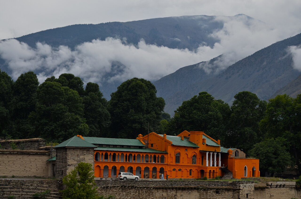
- Chitral Fort
- On the river in the town. The 1895 siege happened here.
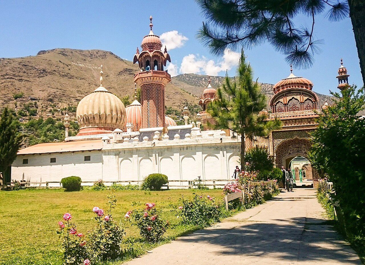
- The Shahi Mosque
- Beside the fort, and the building most photographs of Chitral are of.
- The Kalash valleys
- Bumburet, Rumbur and Birir, south-west of town on rough roads. Go for a festival if the timing works.
- Lowari Pass
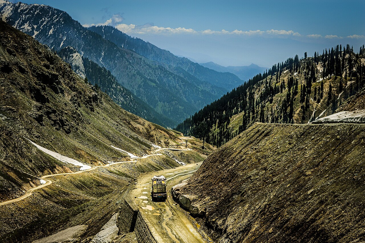
- The way in from Dir. The tunnel beneath it now carries traffic year-round; the old road over the top is still there and still spectacular.
- Shandur Pass
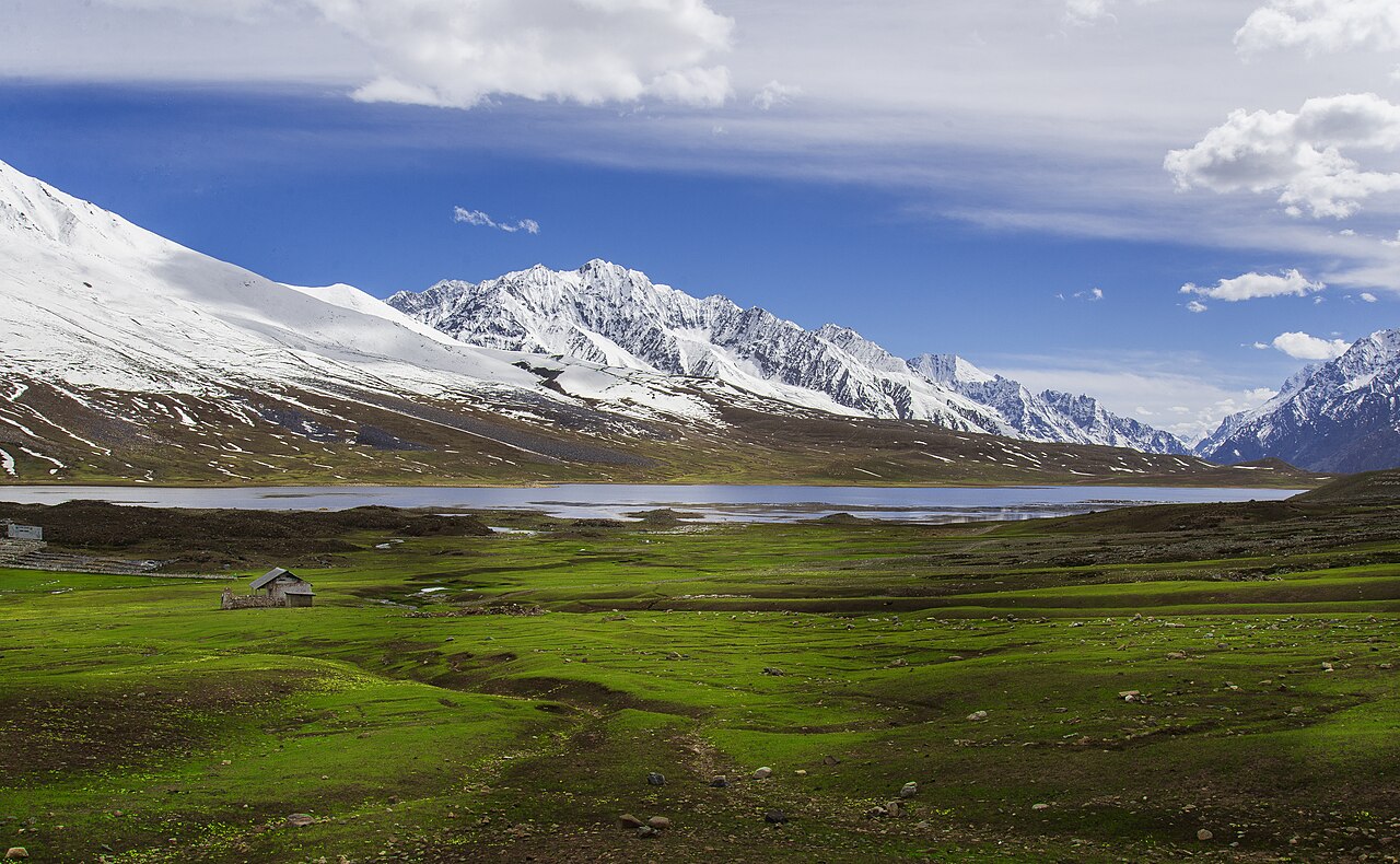
- East towards Gilgit at 3,700 metres, and the site of the polo tournament each July. Summer only, and a serious drive.
When to go, and when not to
May to October. Summers are hot and almost rainless; the rain that does come is spring thunderstorms off western systems rather than monsoon.
Winter is cold — nights to about −10°C — and snow closes the high ground. The Lowari tunnel keeps the town reachable in a way it never used to be, but the Shandur road and the Kalash tracks do not stay open.
Where this comes from
- Chitral — Wikipedia — The dynasties, the 1895 siege, the role in the 1947–48 war, and the climate figures. Written from it, not copied; Wikipedia is CC BY-SA 4.0.
- MET Norway — The live forecast and the town's height, CC BY 4.0.
- OpenStreetMap — Road distances and driving times, via OSRM.