
Deosai
Between Skardu and Astore districts, Gilgit-Baltistan
On video
Traveling to Deosai National Park, from Astore Valley by sherin zada on YouTube. Not ours, and not an endorsement — it is the clearest look at the drive and the valley we could find.
Deosai is a plain the size of a small country at 4,114 metres, between Skardu and Astore, with nothing on it. It is the second-highest plateau in the world, it is under snow for most of the year, and crossing it is one of the great drives in Pakistan for anyone with the right vehicle.
Before you set off: The distances below are road distances and the driving times are optimistic, because the crossing is not a road in the sense the figure implies: it is an unmetalled track at around 4,100 metres, with river fords, and it is open only in summer. Take something with clearance, start early, and allow far longer than the hours shown. There is no fuel on the plateau.
Weather at Deosai
Up at 4,101 m: -4.5°C there now, clear. Over the next 24 hours -18.2°C to -2.8°C. It goes below freezing.
This is the weather at Deosai, not a road report — whether the road is open depends on ploughing, landslides and local decisions no forecast knows about, so check before you set off. Forecast from MET Norway, CC BY 4.0.
What it costs to drive there
| From | Distance | Driving | Petrol |
|---|---|---|---|
| Islamabad | 643 km | 8.4 h | Rs 17,400 |
| Rawalpindi | 641 km | 8.5 h | Rs 17,400 |
| Lahore | 917 km | 12.2 h | Rs 24,800 |
| Karachi | 2042 km | 24.5 h | Rs 55,300 |
| Peshawar | 664 km | 9 h | Rs 18,000 |
| Multan | 1162 km | 14.5 h | Rs 31,500 |
A car doing 12 km/l at today’s Rs 325.00/litre. Open a row to work it out for your own car, your own speed and with the air conditioning on — or see every distance from Deosai.
Distances into Gilgit-Baltistan are the year-round Karakoram Highway route. The shortcut over Babusar Top is roughly a hundred kilometres less, and is open from about mid-July to late September.
What it is
A high-elevation national park on an alpine plain between Skardu District and Astore District in Gilgit-Baltistan, east of Nanga Parbat in the western Himalaya and close to the central Karakoram. The park protects 843 square kilometres and sits at an average of 4,114 metres.
That average makes the Deosai plains the second-highest plateau in the world, after the Changtang in Tibet. The park is on Pakistan's tentative list for World Heritage status.
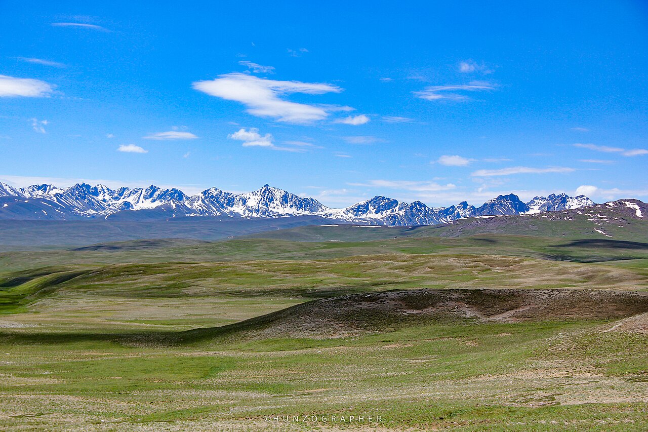
The name
'Deosai' comes from two Shina words — deo, giant, and sai, shadow — so 'the shadow of the giant', or the land of the giant. The travel writer Salman Rashid coined the English 'Land of the Giant' in the early 1990s to carry that legend across.
Brochures usually pluralise it to 'Land of the Giants'. The Shina etymology and the oral tradition both support the singular. The Balti name is different again: Ghbiarsa, summer's place, because that is the only time you can get onto it.
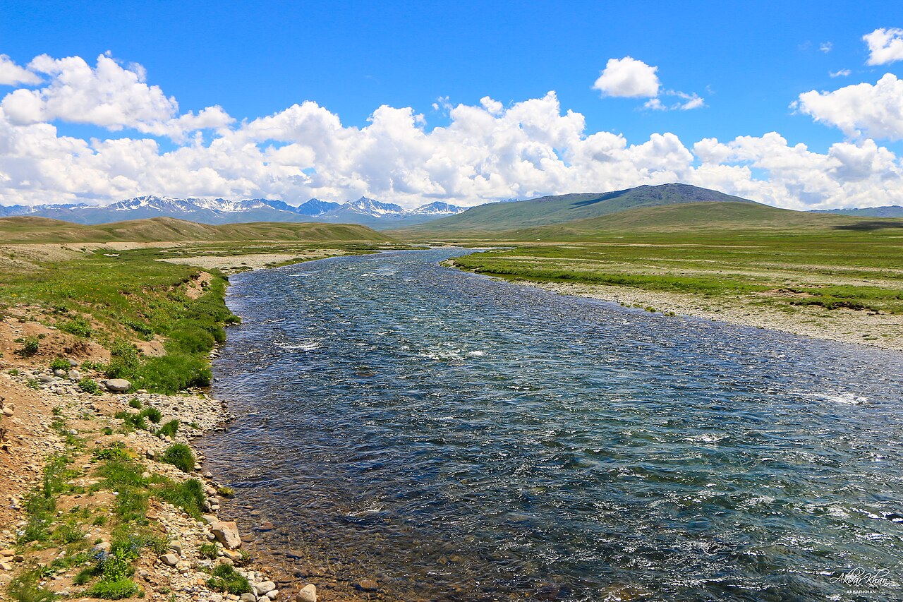
Getting across it
Deosai is reached from Astore District in the west, Skardu District in the north and Galtari tehsil in the south-east, and also from Mehdiabad. The shortest way in is from Skardu, about thirty kilometres away.
The soils up here are coarse, eroded and mixed with gravel and stone, and the flat ground between the hills is deep and marshy. None of that makes for a surface, which is why the crossing is a 4×4 proposition and why the Gujjar and Bakarwal herders who use the plateau as summer grazing cover it on foot and on animals.
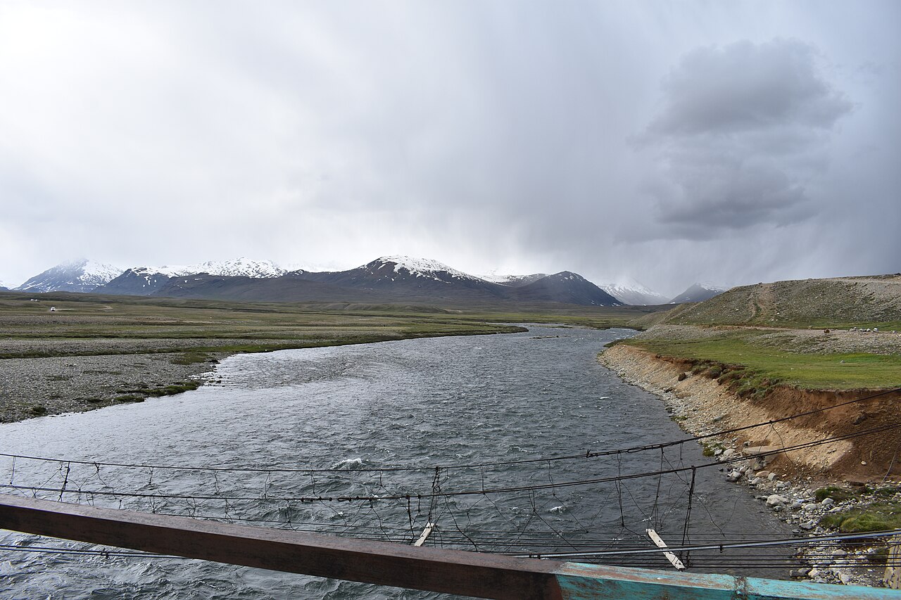
What is on it
In spring the plateau comes up in sweeps of wildflowers and a wide variety of butterflies — the single thing most people photograph here after the emptiness itself.
The park was created around the Himalayan brown bear, and it is the animal Deosai is known for internationally. Seeing one is a matter of luck rather than planning.
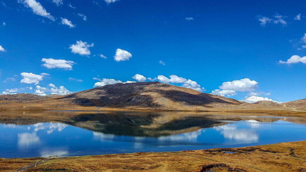
What there is to see
- Sheosar Lake
- Out on the plateau, towards the Astore side.
- Bara Pani
- The river crossing on the way over — the usual stopping point and campsite.
- The wildflowers
- Spring and early summer, across the whole plain.
- Skardu
- About thirty kilometres away and the shortest way in.
- Astore
- The western approach, via Chilam.
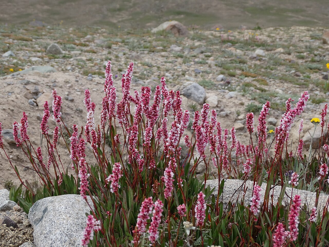
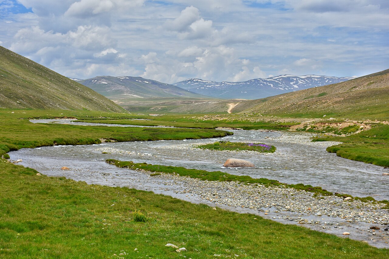
When to go, and when not to
Roughly late June to September. The Balti name for the place means 'summer's place' for a reason: outside that window it is snow, and the tracks in from both sides are shut.
Even inside the season, weather at 4,100 metres turns quickly and the fords rise with the melt. A crossing started late in the day is the common way to get stuck out here.
Where this comes from
- Deosai National Park — Wikipedia — The 4,114-metre average elevation, the 843 square kilometres, the second-highest-plateau ranking, the Shina and Balti etymologies and Salman Rashid's coinage, the approach routes and the thirty kilometres from Skardu, the soils, and the wildflowers and butterflies. Written from it, not copied; Wikipedia is CC BY-SA 4.0.
- MET Norway — The live forecast and the plateau's height, CC BY 4.0.
- OpenStreetMap — Road distances and driving times, via OSRM — which routes over the track and times it as though it were a road. It is not; see the note at the top of this page.