
Derawar Fort
Cholistan Desert, Bahawalpur District, Punjab
On video
Derawar Fort, Cholistan Desert, Pakistan by 7thSENS Productions on YouTube. Not ours, and not an endorsement — it is the clearest look at the drive and the valley we could find.
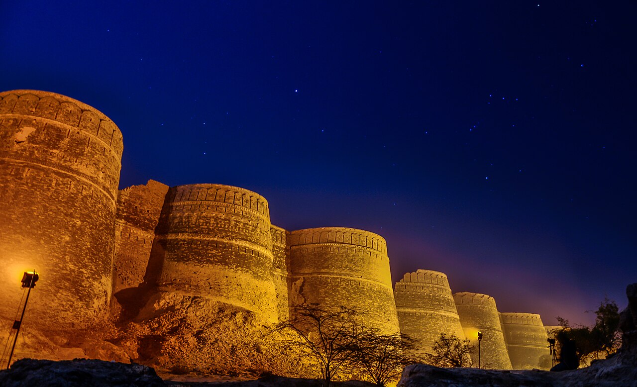
Derawar is forty bastions standing out of the Cholistan desert, with walls fifteen hundred metres round and thirty metres high, visible from many miles across flat sand. It was founded in 858 and it is the best survivor of a chain of desert forts that have otherwise gone.
How far you can drive: The distances below are to Bahawalpur. Derawar is about 94 kilometres further, an hour and a half into the Cholistan desert, and the last part of that is desert track rather than road. Go with a vehicle that belongs out there, and not alone.
What it costs to drive to Bahawalpur
| From | Distance | Driving | Petrol |
|---|---|---|---|
| Islamabad | 607 km | 7.4 h | Rs 16,600 |
| Rawalpindi | 596 km | 7.4 h | Rs 16,300 |
| Lahore | 402 km | 4.7 h | Rs 11,000 |
| Karachi | 832 km | 9.9 h | Rs 22,700 |
| Peshawar | 741 km | 8.8 h | Rs 20,300 |
| Multan | 98 km | 1.3 h | Rs 2,700 |
A car doing 12 km/l at today’s Rs 328.00/litre. Open a row to work it out for your own car, your own speed and with the air conditioning on — or see every distance from Bahawalpur.
What it is
A fortress in the Cholistan desert, in Yazman Tehsil of Bahawalpur District, about 20 kilometres south of Ahmedpur East. The walls run 1,500 metres around and stand up to thirty metres high, and the forty bastions are what you see first, long before the rest of it.
Cholistan is the western part of the Thar. There is archaeological evidence that an Indus Valley culture lived here, farming off the Hakra river — and around 600 BC the river changed course and essentially vanished into the ground. The land dried out and stopped supporting settlement.
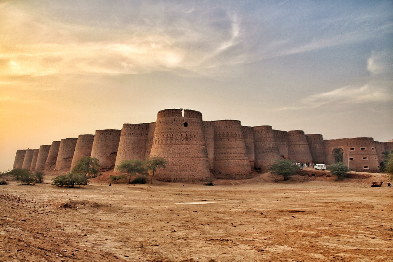
A chain of forts, and one survivor
Even after the river went, the desert stayed on the trade route between Central Asia and the subcontinent, and on the pilgrimage route towards Mecca. There are ruins of up to a dozen forts out there — Meergarh, Jaangarh, Marotgarh, Maujgarh, Dingarh, Khangarh, Khairgarh, Bijnotgarh, Islamgarh — built as a chain to shelter travellers.
Derawar is the best surviving one. It was built in 858 under Rai Jajja Bhati, a Hindu Rajput ruler of the Bhati clan, as a tribute to Rawal Deoraj Bhati of Jaisalmer. It was Dera Rawal, then Dera Rawar, and finally Derawar.
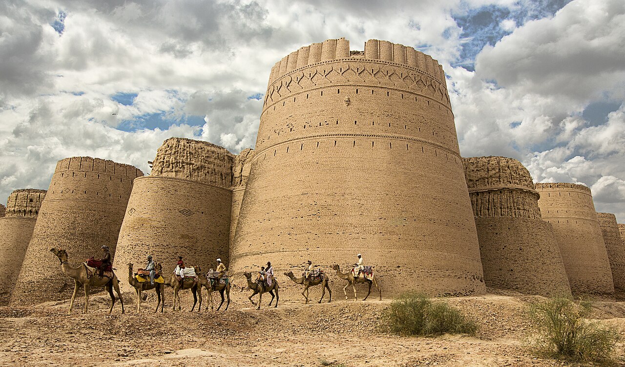
The Nawabs
In the eighteenth century the fort passed to the Muslim Nawabs of Bahawalpur. It was rebuilt into its present form in 1732 by the Abbasi ruler Nawab Sadeq Muhammad.
It slipped out of their hands in 1747, while Bahawal Khan was occupied at Shikarpur, and Nawab Mubarak Khan later took it back.
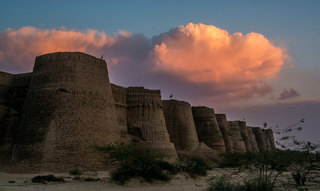
What there is to see
- The bastions
- Forty of them, thirty metres high, visible from miles out across the sand.
- The Abbasi mosque
- Beside the fort, built for the Nawabs of Bahawalpur.
- The royal cemetery
- The Abbasi family graves, next to the walls.
- Cholistan
- The desert itself, and the ruins of the other forts in the chain.
- Bahawalpur
- The city 94 km back, and as far as the distances here are measured.
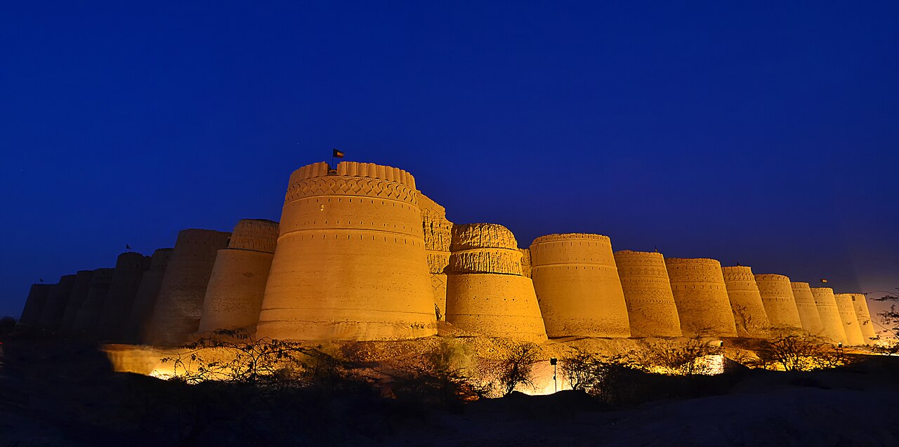
When to go, and when not to
November to February, and not a day outside it. This is open desert with no shade and no water, and the Cholistan summer is not a discomfort but a hazard.
Sunset and the hour after are what people come for — the brick goes the colour the photographs show — which also means planning the drive back out in the dark.
Where this comes from
- Derawar Fort — Wikipedia — The forty bastions, the 1,500-metre perimeter and thirty-metre walls, the 20 kilometres from Ahmedpur East, the Hakra river and its disappearance around 600 BC, the chain of desert forts and their names, the 858 founding under Rai Jajja Bhati, the etymology, and the Abbasi rebuilding in 1732. Written from it, not copied; Wikipedia is CC BY-SA 4.0.
- OpenStreetMap — Road distances and driving times, via OSRM, including the Bahawalpur–Derawar figure.