
Fairy Meadows
Diamer District, Gilgit-Baltistan
On video
Fairy Meadows Jeep Track to Nanga Parbat by Grip on Trip on YouTube. Not ours, and not an endorsement — it is the clearest look at the drive and the valley we could find.
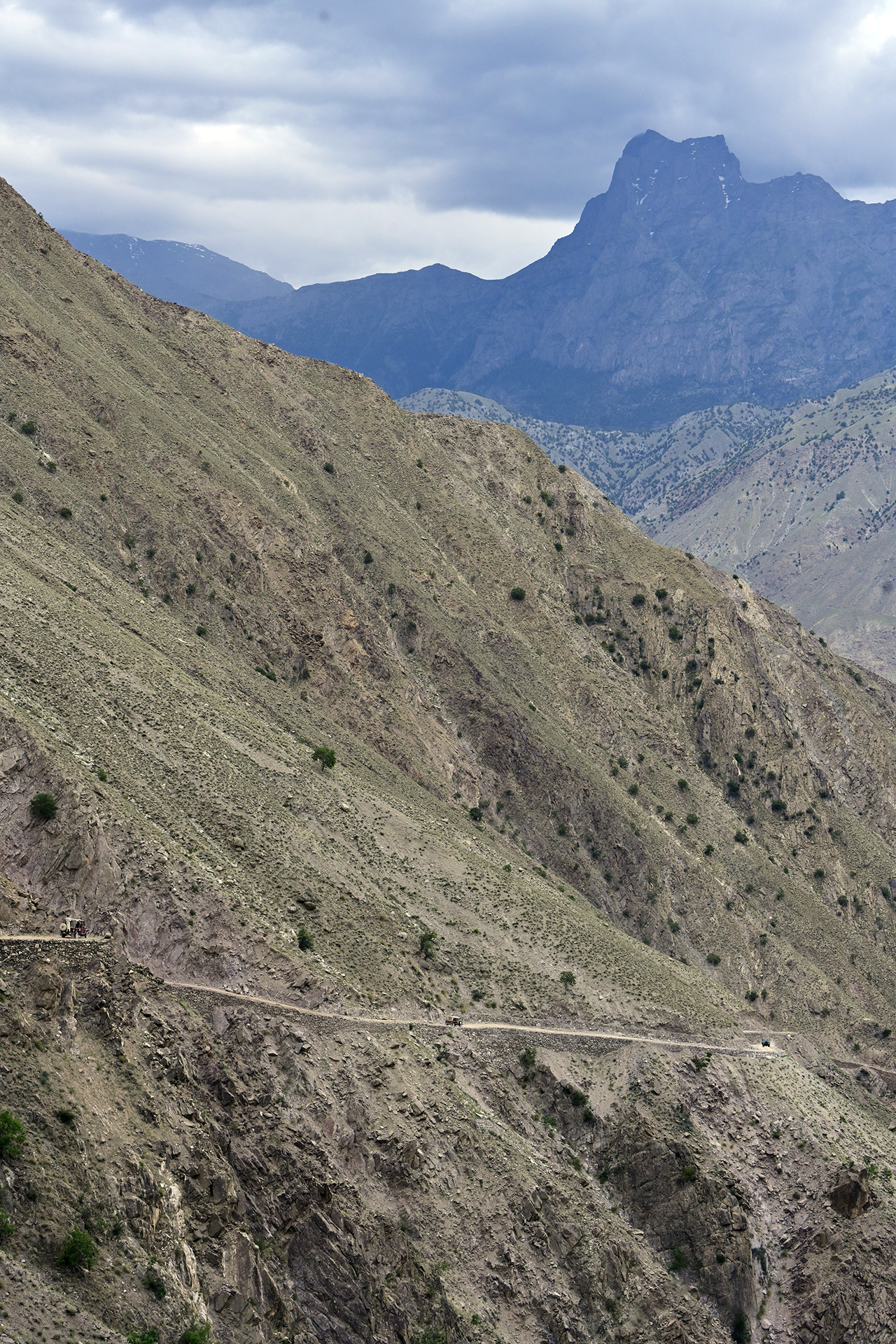
Fairy Meadows is grassland at about 3,300 metres looking straight at Nanga Parbat, and it is the one place on this site where the drive is genuinely the hard part: the jeep track up from the Karakoram Highway has a reputation of its own, and it still ends a three-hour walk short of the meadow.
Weather at Fairy Meadows
Up at 3,324 m: 2.3°C there now, clear. Over the next 24 hours -5.7°C to 4.5°C. It goes below freezing.
This is the weather at Fairy Meadows, not a road report — whether the road is open depends on ploughing, landslides and local decisions no forecast knows about, so check before you set off. Forecast from MET Norway, CC BY 4.0.
What it costs to drive there
| From | Distance | Driving | Petrol |
|---|---|---|---|
| Islamabad | 497 km | 6.2 h | Rs 13,500 |
| Rawalpindi | 496 km | 6.3 h | Rs 13,400 |
| Lahore | 772 km | 9.9 h | Rs 20,900 |
| Karachi | 1897 km | 22.3 h | Rs 51,400 |
| Peshawar | 518 km | 6.7 h | Rs 14,000 |
| Multan | 1016 km | 12.3 h | Rs 27,500 |
A car doing 12 km/l at today’s Rs 325.00/litre. Open a row to work it out for your own car, your own speed and with the air conditioning on — or see every distance from Fairy Meadows.
Distances into Gilgit-Baltistan are the year-round Karakoram Highway route. The shortcut over Babusar Top is roughly a hundred kilometres less, and is open from about mid-July to late September.
What it is
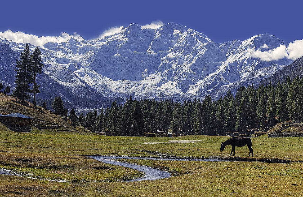
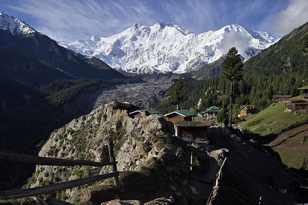
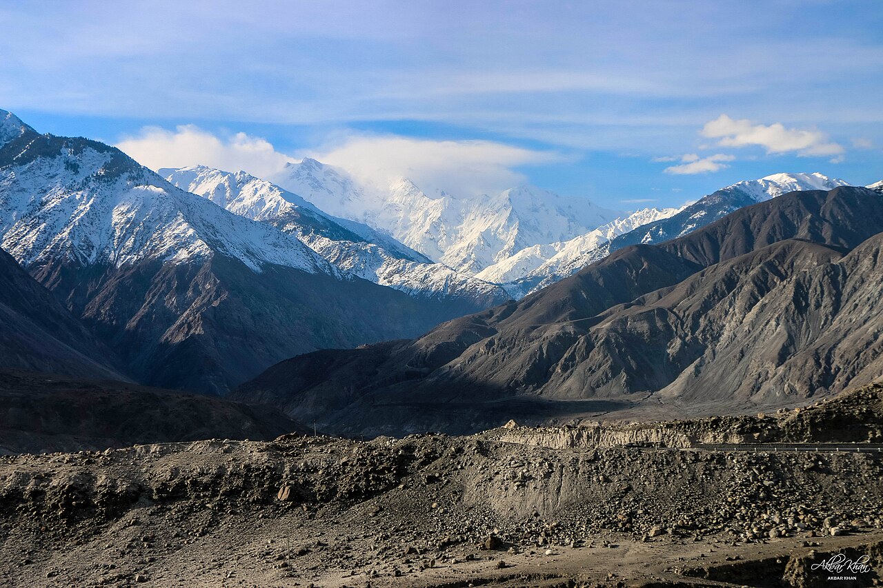
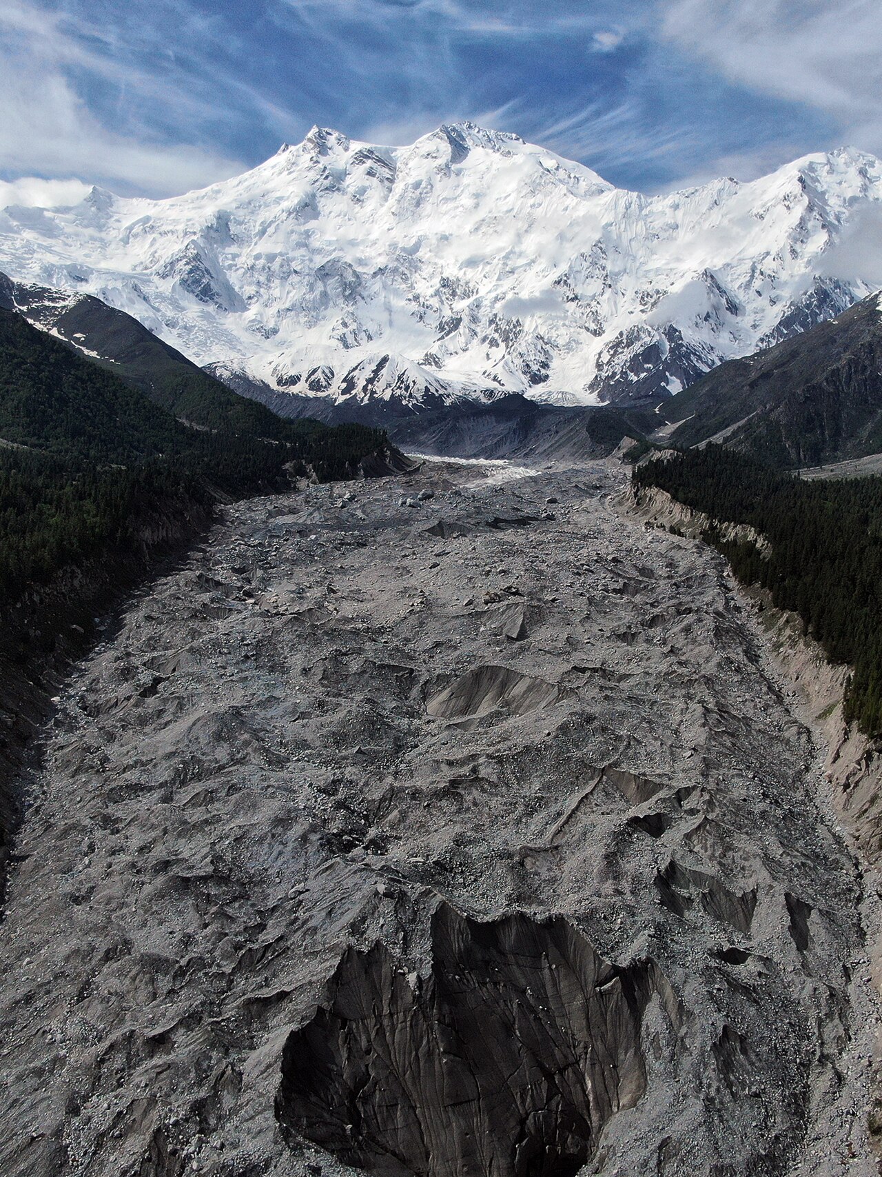
A meadow — locally Joot — near one of the base camps for Nanga Parbat, the ninth-highest mountain on earth at 8,126 metres. Climbers use it as the launching point for the Rakhiot face. It was declared a national park in 1995 and has been part of Nanga Parbat National Park since 2021.
The peak you see from here and assume is the summit usually is not: the point most visible from this angle is the North Peak, at 7,816 metres.
How the road actually works
You leave the Karakoram Highway at Raikot Bridge. From there it is a jeep track to Tattu village — local jeeps only, and widely described as one of the more alarming drives in the country — and from Tattu it is a walk of roughly three hours up to the meadow.
The distances below are road distances to the area, not to a car park at the meadow. There is no car park at the meadow. Plan on leaving the car at the bottom.
What it is like up there
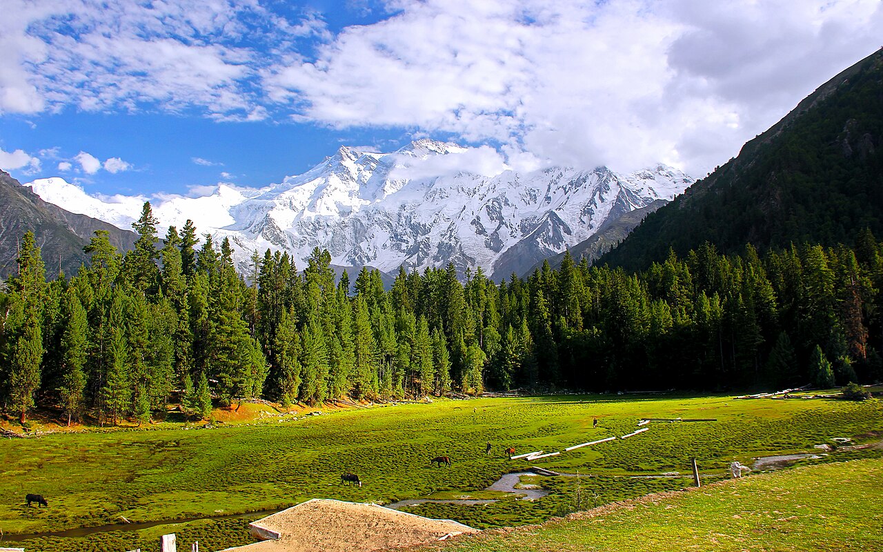
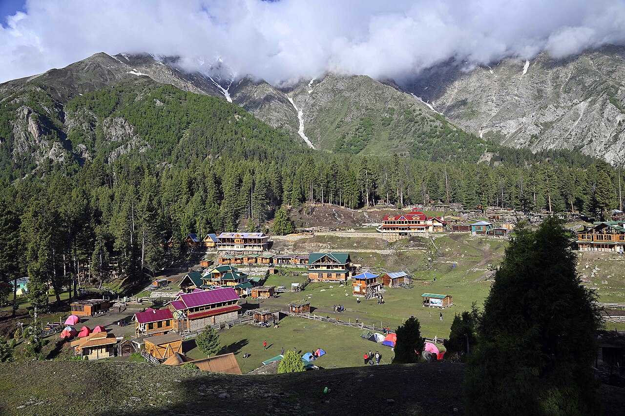
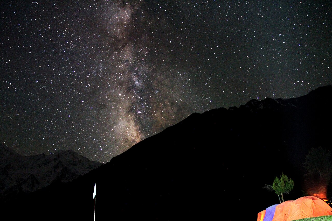
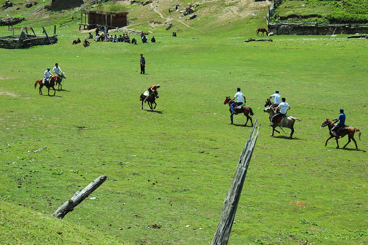
Cottages and a few huts on the grass, pine forest at the edge, and the mountain filling one whole side of the view. It is high enough that nights are cold even in summer and the sky is very dark.
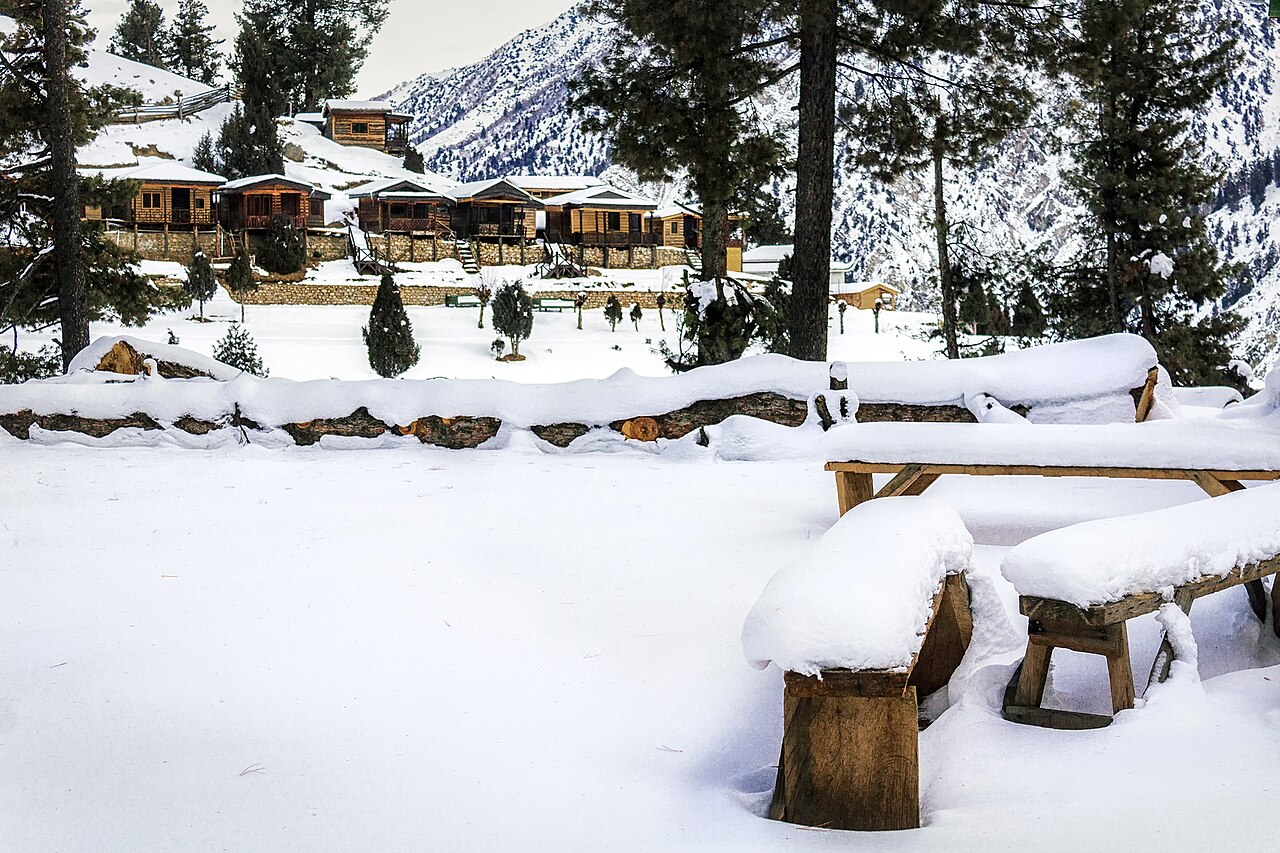
In winter it is snowbound and the track is shut.
What there is to see
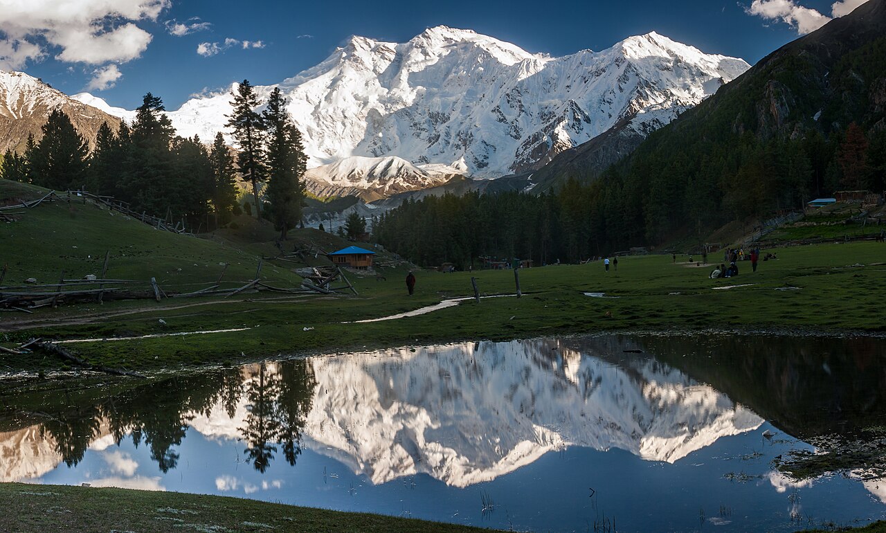
- Nanga Parbat
- 8,126 metres, straight ahead. The Rakhiot face is the one you are looking at.
- Beyal camp
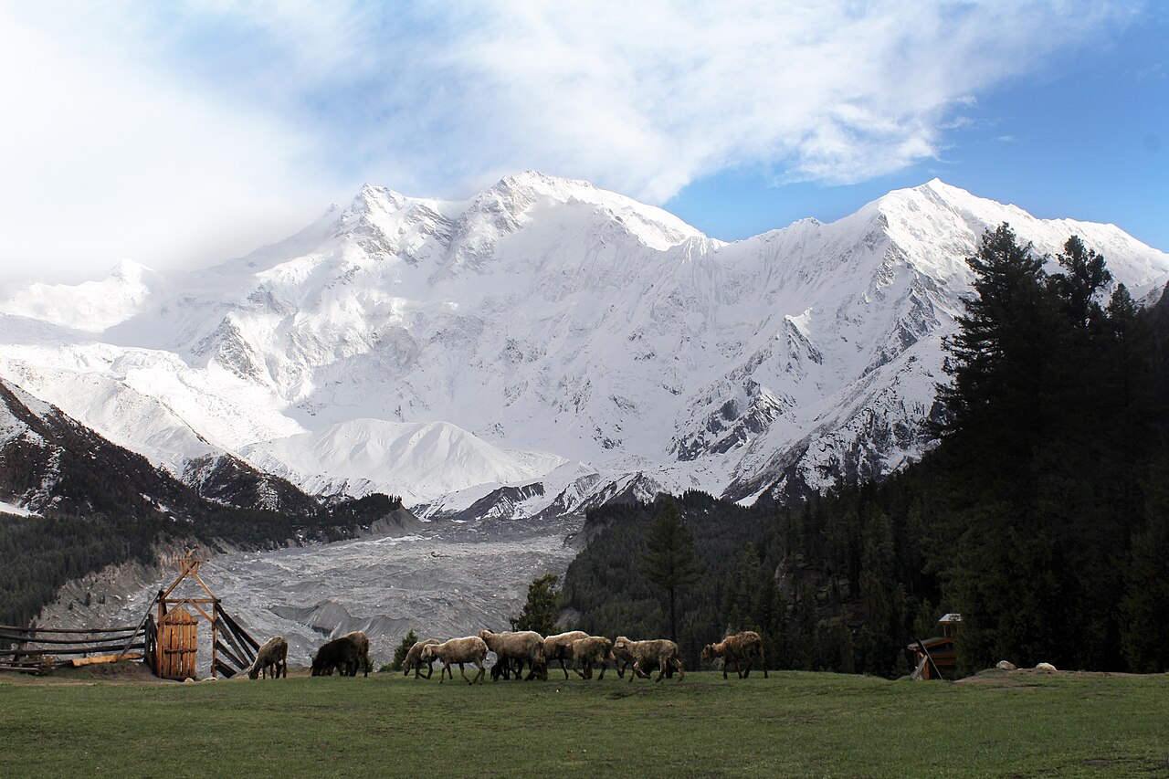
- An hour or so further up from the meadow, and closer to the glacier.
- The night sky
- At 3,300 metres with no town for miles, this is among the darkest accessible skies in Pakistan.
- The jeep track itself
- For some people this is the attraction. For others it is the reason they fly to Gilgit instead.
When to go, and when not to
May to September. Outside that the track is closed by snow and the meadow is unreachable.
Even in summer, nights at this altitude are cold. The forecast below is for the meadow itself, not for the highway you leave the car on.
Where this comes from
- Fairy Meadows — Wikipedia — The altitude, the national park status, the Rakhiot face and the North Peak. Written from it, not copied; Wikipedia is CC BY-SA 4.0.
- MET Norway — The live forecast and the place's height, CC BY 4.0.
- OpenStreetMap — Road distances and driving times, via OSRM.