
Faisal Mosque
Islamabad Capital Territory
On video
Faisal Mosque — Complete Documentary and the Architect's Story by Fair Cut on YouTube. Not ours, and not an endorsement — it is the clearest look at the drive and the valley we could find.
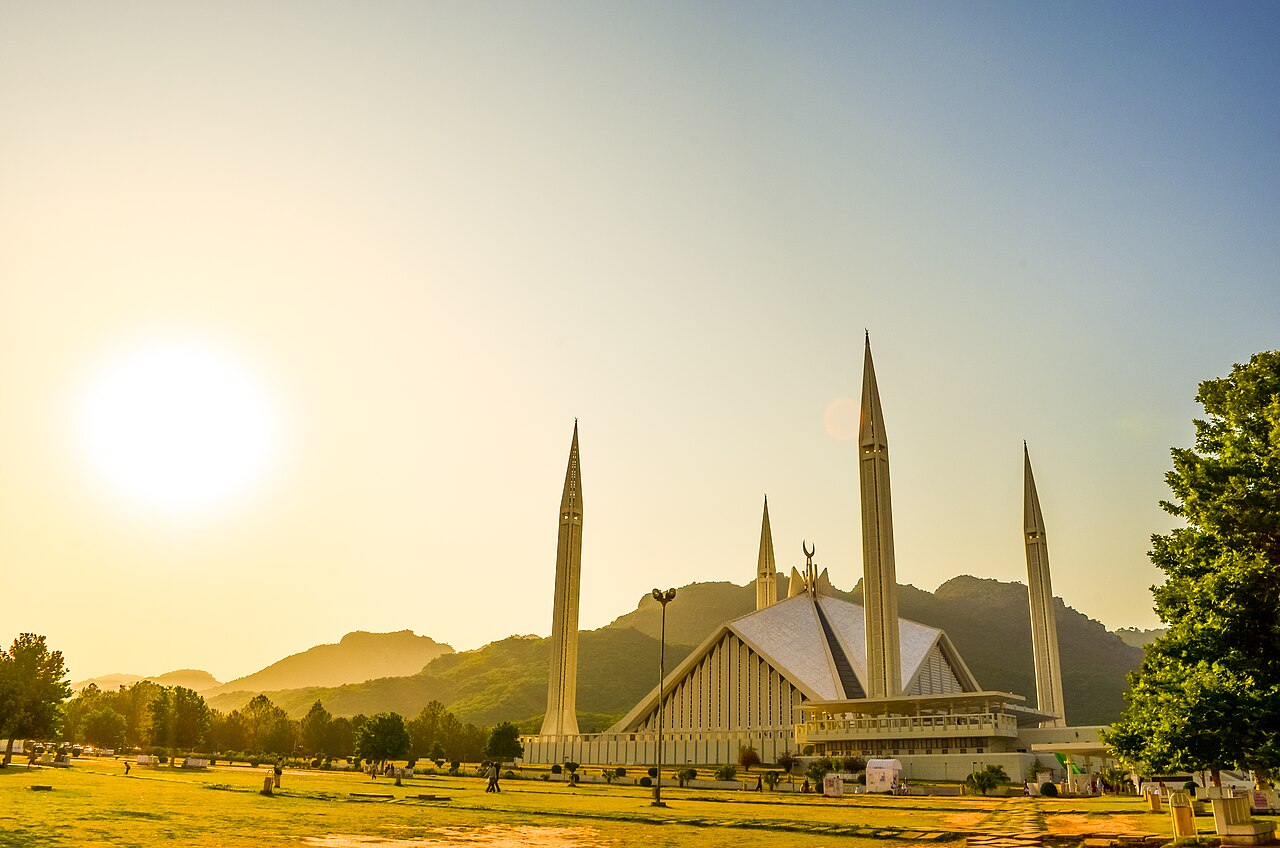
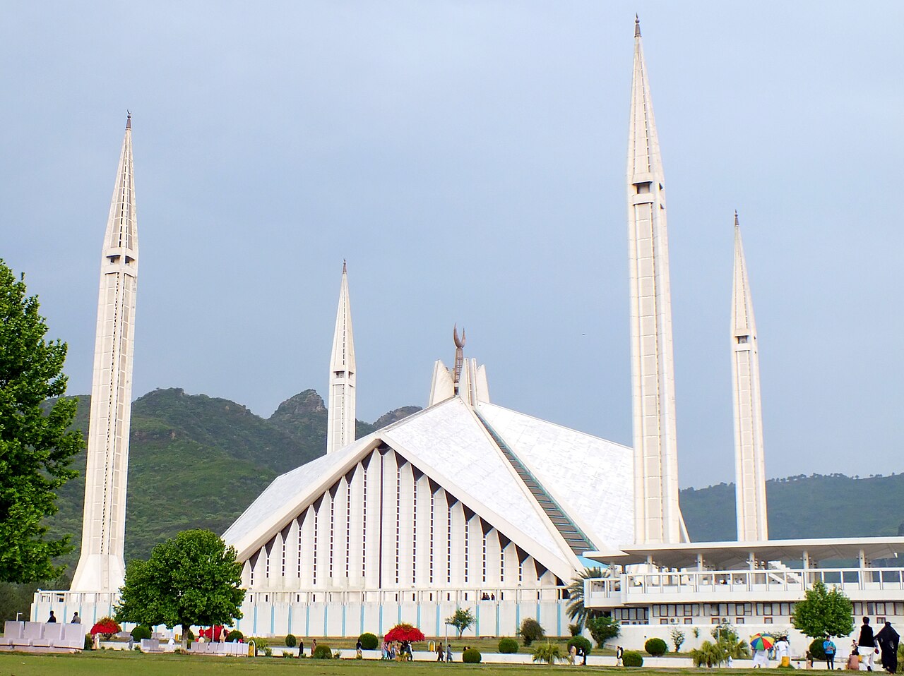
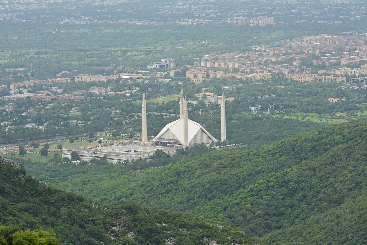
The Faisal Mosque has no dome. It is eight sides of concrete shell shaped like a Bedouin tent, with four ninety-metre minarets, standing at the foot of the Margalla Hills at the top of Islamabad. A Turkish architect won it in an international competition and the Saudi king paid for it.
What it costs to drive there
| From | Distance | Driving | Petrol |
|---|---|---|---|
| Rawalpindi | 14 km | 0.2 h | Rs 400 |
| Lahore | 368 km | 4.2 h | Rs 10,100 |
| Karachi | 1418 km | 16.5 h | Rs 38,800 |
| Peshawar | 180 km | 2 h | Rs 4,900 |
| Multan | 538 km | 6.5 h | Rs 14,700 |
| Quetta | 892 km | 10.9 h | Rs 24,400 |
A car doing 12 km/l at today’s Rs 328.00/litre. Open a row to work it out for your own car, your own speed and with the air conditioning on — or see every distance from Islamabad.
What it is
The national mosque of Pakistan, in Islamabad, and the sixth largest mosque in the world. It is named after King Faisal of Saudi Arabia, who reigned from 1964 to 1975.
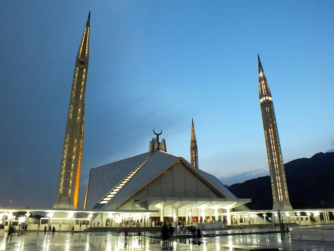
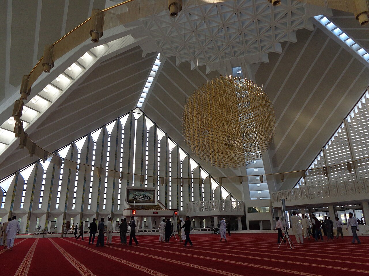
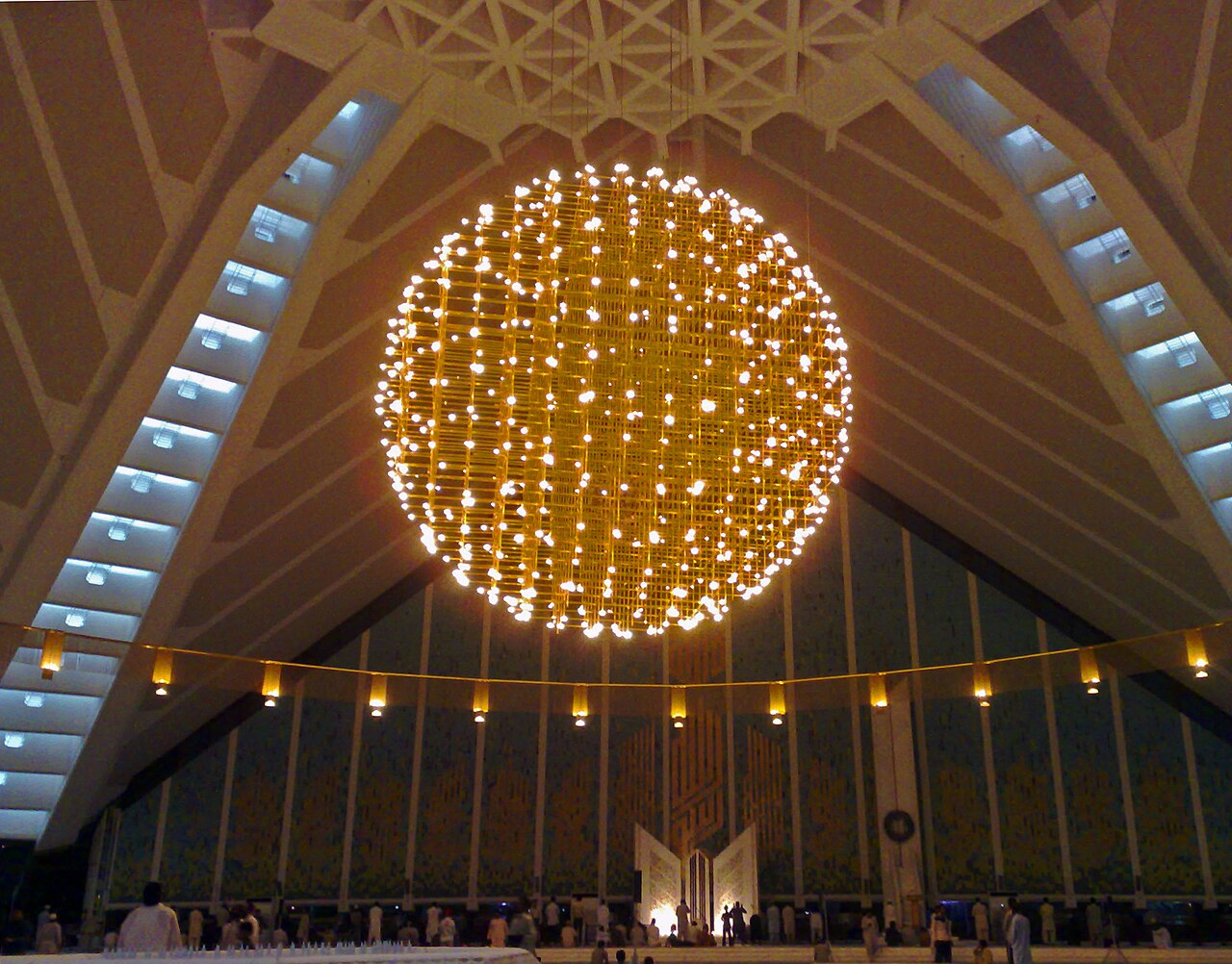
The design is by the Turkish architect Vedat Dalokay and is modelled on a Bedouin tent: eight sloping concrete shells forming a triangular worship hall that holds ten thousand people, with no conventional dome anywhere on it.
How it came to be built
Construction began in 1976, after a grant of 28 million dollars from King Faisal. The unconventional design was selected through an international competition.
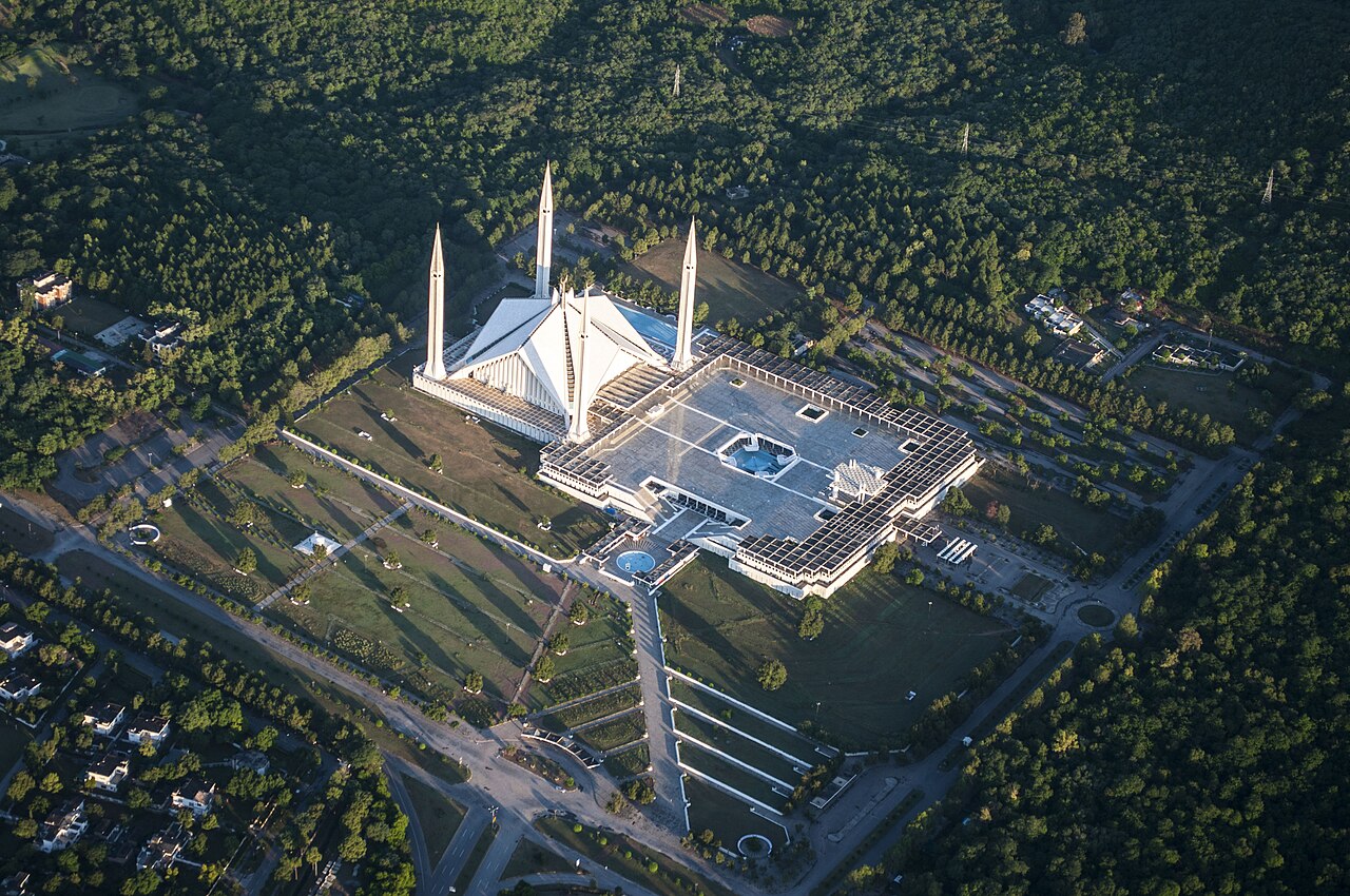
The whole structure covers 130,000 square metres — about 33 acres — and it dominates the skyline of Islamabad from almost anywhere in the city. It was the largest mosque in the world from 1986 until 1993.
Where it stands
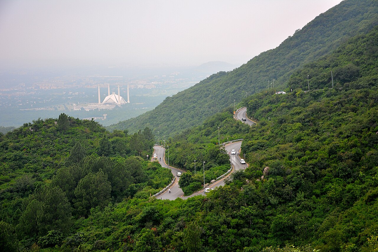
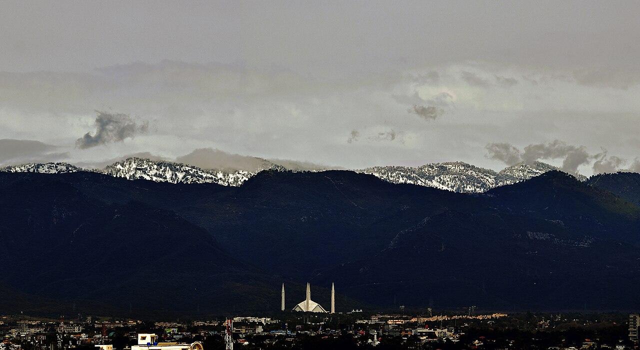
At the north end of Faisal Avenue, which puts it at the northernmost edge of the city, on raised ground against the national park. The Margalla Hills behind it are the westernmost foothills of the Himalaya.
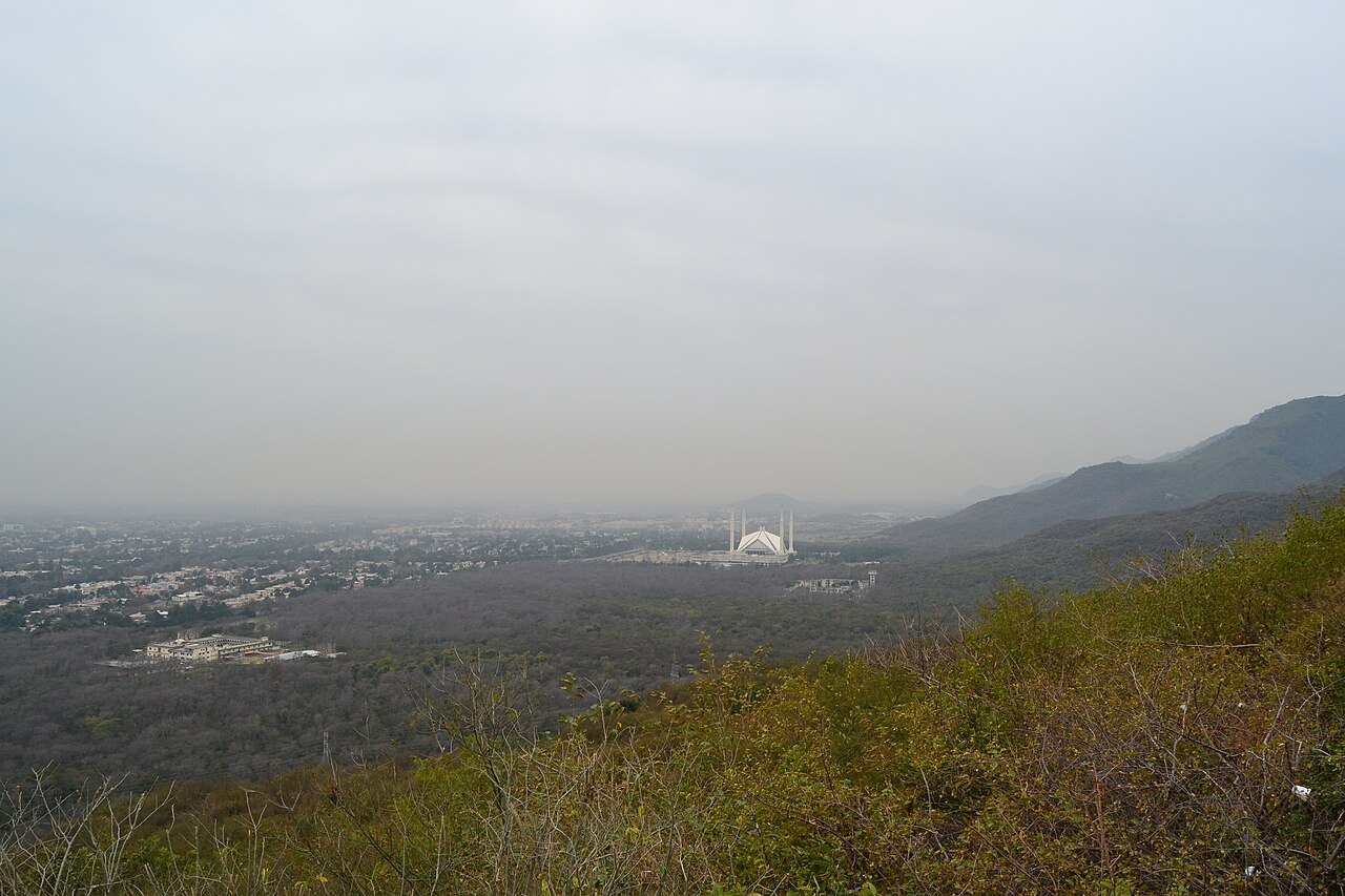
That siting is the whole design. Seen from Daman-e-Koh up in the hills, the mosque reads as a white tent pitched at the bottom of the mountains, which is what Dalokay was after.
What there is to see
- The prayer hall
- Under the eight shells, with the chandelier. Holds ten thousand.
- The courtyard
- The open expanse in front, with the four minarets around it.
- Daman-e-Koh
- Up in the Margalla Hills, for the view down onto the mosque.
- The Margalla Hills
- The national park immediately behind it.
- Taxila
- Thirty-odd kilometres north-west, for a day with some depth to it.
When to go, and when not to
Any time of year — Islamabad is mild by Pakistani standards — but spring and autumn are the best of it, and the monsoon puts the Margallas in cloud for weeks.
Dusk is when the building works hardest: the white shells against a dark hillside, lit. It is a working mosque, so dress and behave accordingly.
Where this comes from
- Faisal Mosque — Wikipedia — The national mosque and sixth-largest ranking, King Faisal and his reign dates, Vedat Dalokay and the Bedouin tent design, the eight concrete shells and ten-thousand capacity, the four 90-metre minarets, the 1976 start and the 28 million dollar grant, the international competition, the 130,000 square metres, the Faisal Avenue and Margalla Hills siting, and the 1986–1993 period as the world's largest. Written from it, not copied; Wikipedia is CC BY-SA 4.0.
- OpenStreetMap — Road distances and driving times, via OSRM.