
Gilgit
Gilgit District, Gilgit-Baltistan
On video
4K Pakistan Drone Views of Gilgit Baltistan, Northern Areas & Fairy Meadows by Pakistan Travel Guide on YouTube. Not ours, and not an endorsement — it is the clearest look at the drive and the valley we could find.
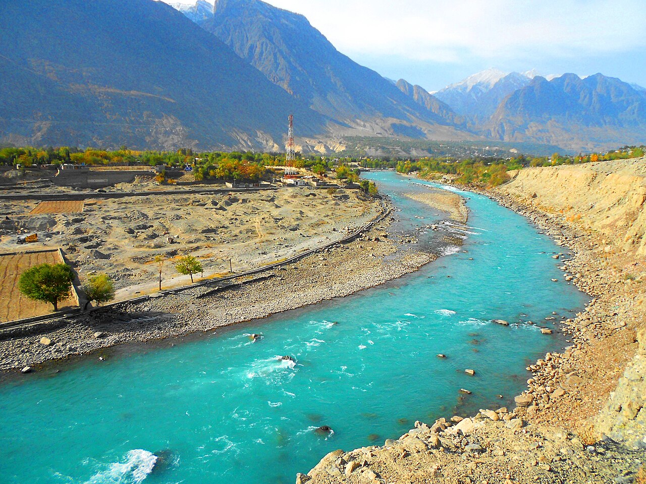
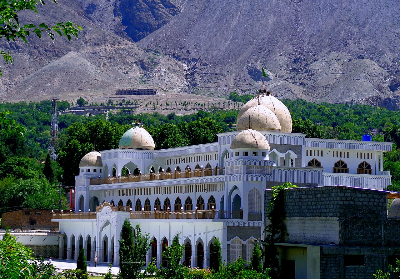
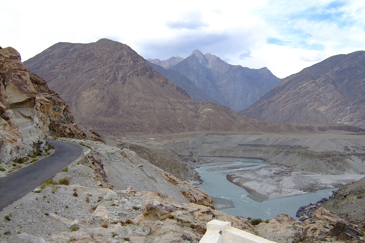
Gilgit is the capital of Gilgit-Baltistan and the junction everything in the north passes through. Roads leave it for Kashgar in China, for Skardu, for Chitral and for Islamabad, and almost every Pakistani road trip into the Karakoram either stops here or changes direction here. It sits in a broad valley near where the Gilgit and Hunza rivers meet.
Weather at Gilgit
Up at 1,463 m: 11.6°C there now, clear. Over the next 24 hours 5°C to 15.7°C.
This is the weather at Gilgit, not a road report — whether the road is open depends on ploughing, landslides and local decisions no forecast knows about, so check before you set off. Forecast from MET Norway, CC BY 4.0.
What it costs to drive there
| From | Distance | Driving | Petrol |
|---|---|---|---|
| Islamabad | 487 km | 6 h | Rs 13,300 |
| Rawalpindi | 485 km | 6 h | Rs 13,300 |
| Lahore | 761 km | 9.7 h | Rs 20,800 |
| Karachi | 1886 km | 22.1 h | Rs 51,600 |
| Peshawar | 571 km | 6.8 h | Rs 15,600 |
| Multan | 1006 km | 12.1 h | Rs 27,500 |
A car doing 12 km/l at today’s Rs 328.00/litre. Open a row to work it out for your own car, your own speed and with the air conditioning on — or see every distance from Gilgit.
What it is
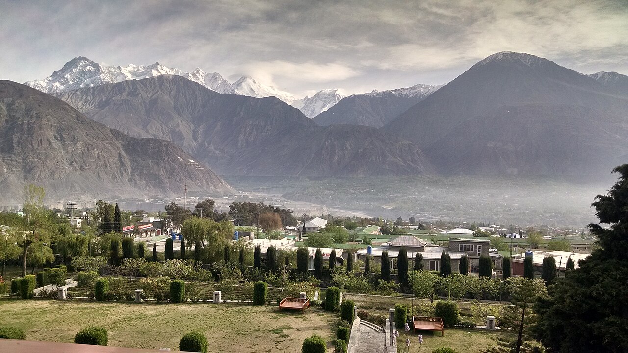
The largest town in Gilgit-Baltistan and its administrative centre, in a wide valley at about 1,500 metres — low, by the standards of what surrounds it. That is why it is the base: the trekking and mountaineering traffic for the Karakoram is organised from here, and it is the last proper city before the roads get serious.
It is about ten kilometres off the Karakoram Highway itself. From there the KKH runs south to Chilas, Besham, Mansehra, Abbottabad and Islamabad, and north through Karimabad and Sust to the Chinese side at Tashkurgan and Kashgar. Skardu lies east, Chitral west.
A Buddhist city on the Silk Road
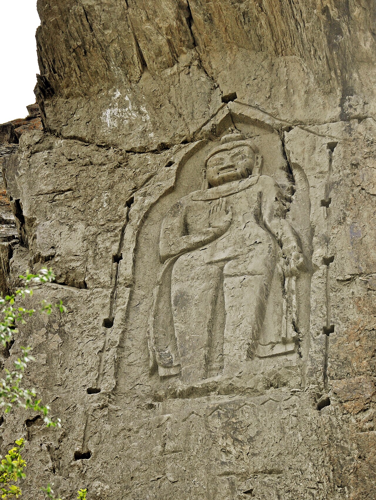
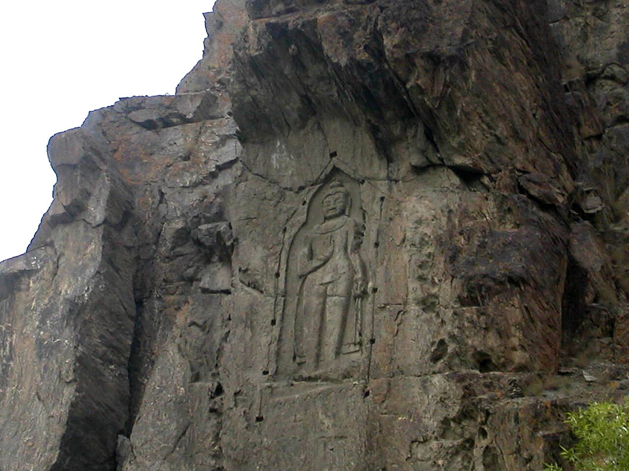
Gilgit was a stop on the Silk Road and one of the routes by which Buddhism travelled out of South Asia into the rest of Asia. The Chinese pilgrims Faxian and Xuanzang both came through. The Kargah Buddha, carved into a cliff outside town, is what is left of that in plain sight.
Chinese records describe a Buddhist dynasty governing here in the 600s and 700s — Little Balur, thought to be the Patola Shahi of a Brahmi inscription, and followers of Vajrayana Buddhism. The valley then passed between Tang China and the Tibetan Empire as the two contested the region through the mid-700s.
Later it was held by the Trakhan dynasty until the early nineteenth century, and before them the Shin Ras, whose reach is remembered as extending over Chitral, Yasin, Darel, Chilas, Astor, Hunza, Nagar and Haramosh through tributary princes of the same family.
November 1947
After partition the Maharaja of Jammu and Kashmir acceded to India. Gilgit's population did not favour it. On 1 November 1947 Major William Brown, the Maharaja's own commander of the Gilgit Scouts, mutinied and overthrew the governor Ghansara Singh — a bloodless coup, planned in detail under the codename Datta Khel.
That is how a valley that had been administered from Srinagar ended up looking south to Islamabad, and why the roads out of it run the way they do.
What there is to see
- Kargah Buddha
- A seventh-century Buddha carved high into a rock face a few kilometres from town. It takes a short drive and a shorter walk.
- The Karakoram Highway
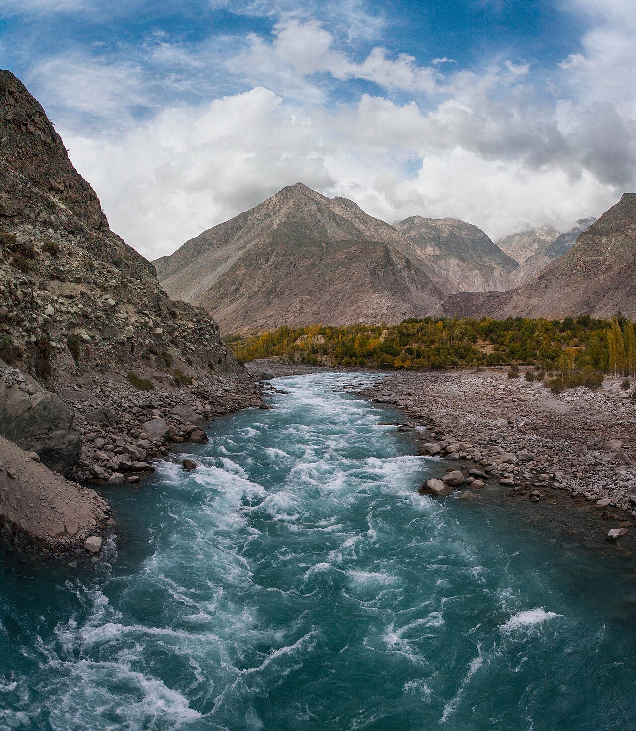
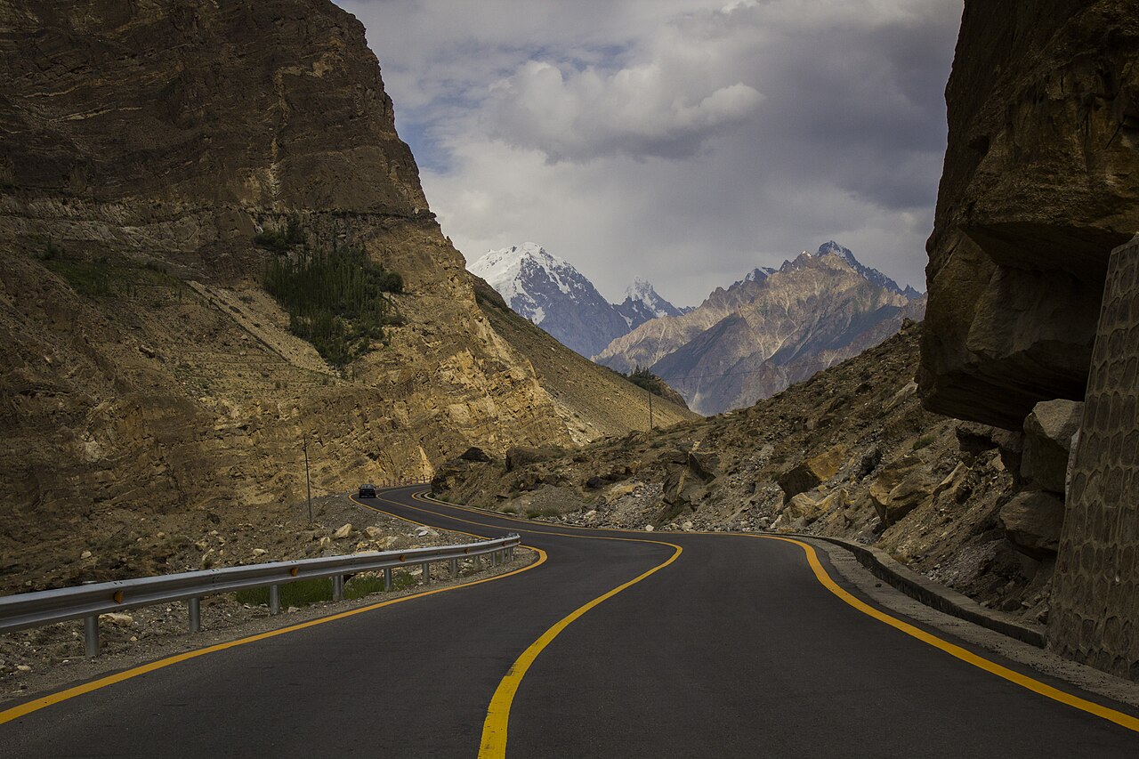
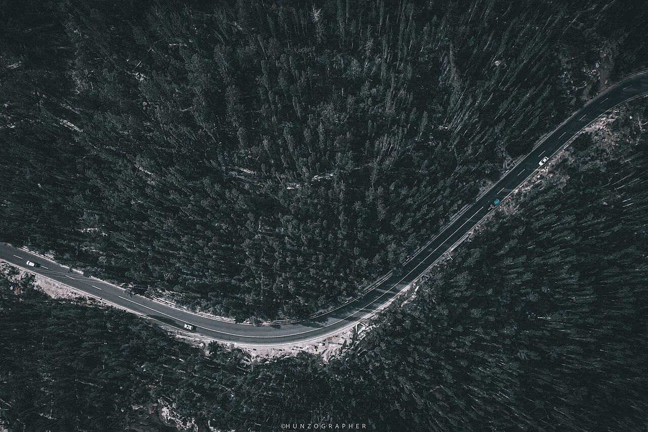
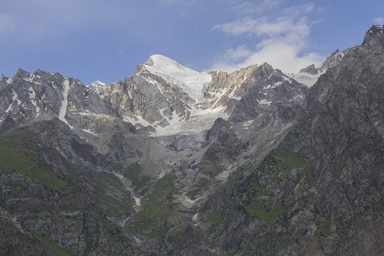
- The road itself is the attraction. North towards Hunza it runs under Rakaposhi; south it follows the Indus through the Nanga Parbat gorge.
- Naltar Valley
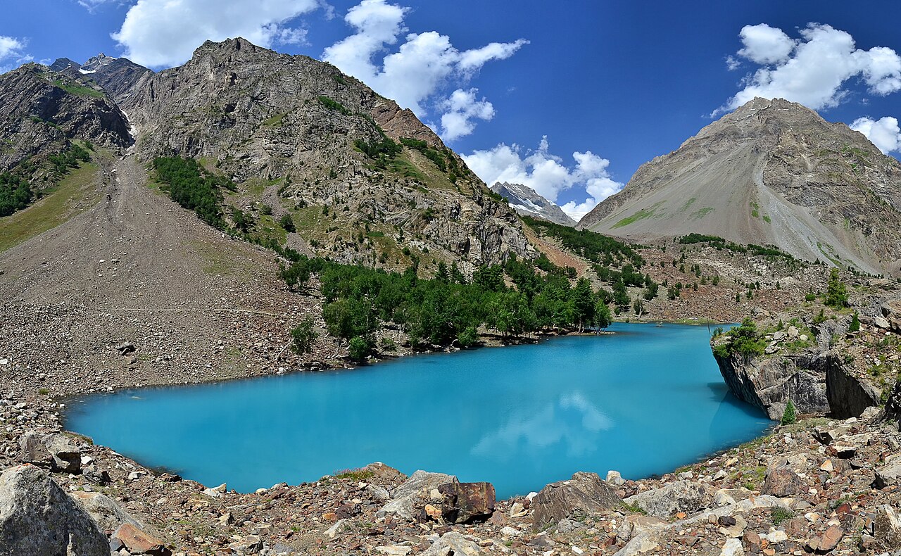
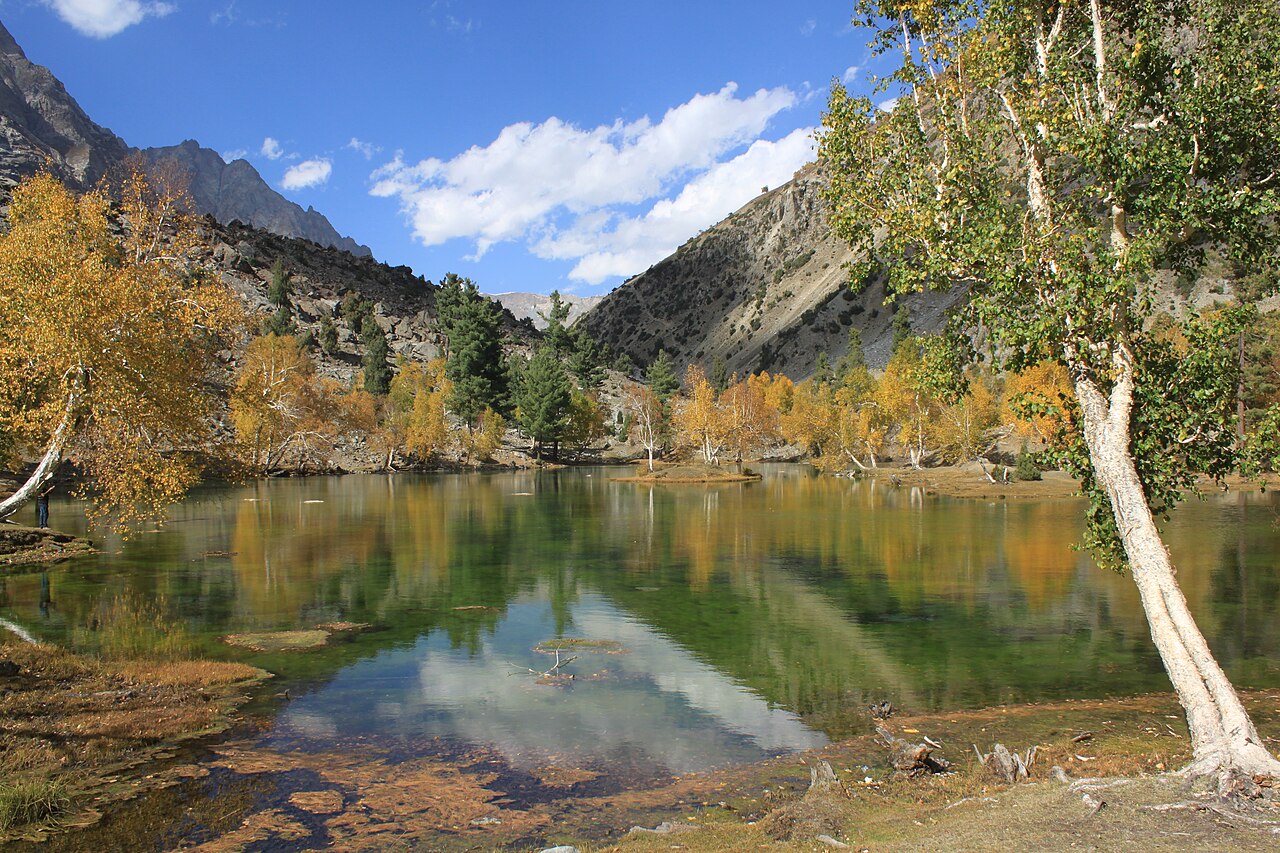
- About two hours up a rough road from Gilgit, with coloured lakes at the top and a ski slope in winter. The jeep track is the reason most people do not get there.
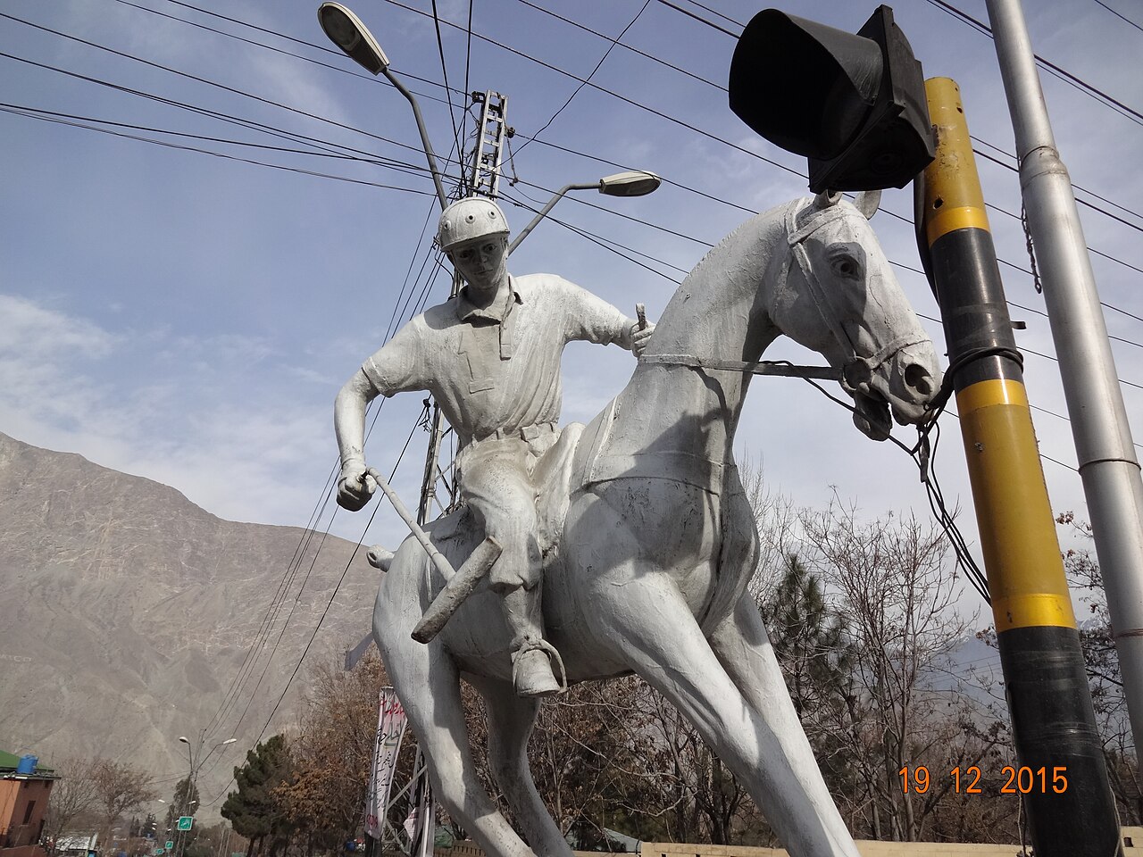
- Polo at Shandur and in town
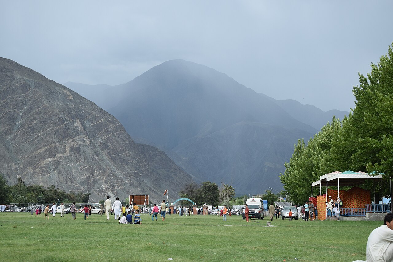
- Free-style polo is the regional game rather than a performance for visitors; Gilgit has a ground and a statue to it.
- Nanga Parbat from the road
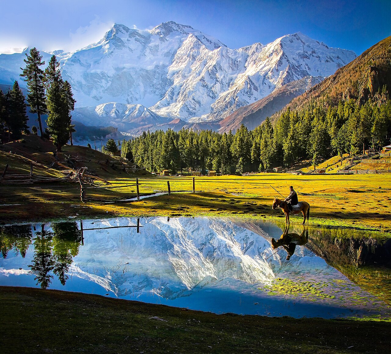
- South of Gilgit the KKH passes the Nanga Parbat massif — 8,126 metres, and visible from the highway at Raikot.
When to go, and when not to
Gilgit has a cold desert climate: very little rain, 120 to 240 mm a year, because the monsoon breaks against the Himalaya to the south. Irrigation comes off the rivers and the snowmelt above.
Summer is short and genuinely hot — daytime highs occasionally over 40°C, which surprises people who expect the north to be cool at every altitude. The same extremes make landslides and avalanches common in the area, which is a road problem more than a weather one.
May to October is the usable season for the roads north and east. In winter the city is reachable but the passes beyond it are not.
Where this comes from
- Gilgit — Wikipedia — The history, the 1947 rebellion, the climate figures and the road connections. Written from it, not copied; Wikipedia is CC BY-SA 4.0.
- MET Norway — The live forecast and the town's height, CC BY 4.0.
- OpenStreetMap — Road distances and driving times, via OSRM.