
Gwadar
Gwadar District, Balochistan
On video
Balochistan Coastal Highway | Karachi to Gawadar by Grip on Trip on YouTube. Not ours, and not an endorsement — it is the clearest look at the drive and the valley we could find.
Gwadar is a port town on the Arabian Sea, opposite Oman, and until 1958 it belonged to Oman — which is the short version of why it does not look or feel like anywhere else in Pakistan. For a driver it is the far end of the Makran Coastal Highway: 653 kilometres of road from Karachi that did not exist before 2004, and which is the real reason to make the trip.
What it costs to drive there
| From | Distance | Driving | Petrol |
|---|---|---|---|
| Islamabad | 1791 km | 21.5 h | Rs 49,000 |
| Rawalpindi | 1790 km | 21.6 h | Rs 48,900 |
| Lahore | 1826 km | 21.1 h | Rs 49,900 |
| Karachi | 624 km | 7.5 h | Rs 17,100 |
| Peshawar | 1734 km | 21.7 h | Rs 47,400 |
| Multan | 1505 km | 17.6 h | Rs 41,100 |
A car doing 12 km/l at today’s Rs 328.00/litre. Open a row to work it out for your own car, your own speed and with the air conditioning on — or see every distance from Gwadar.
What it is
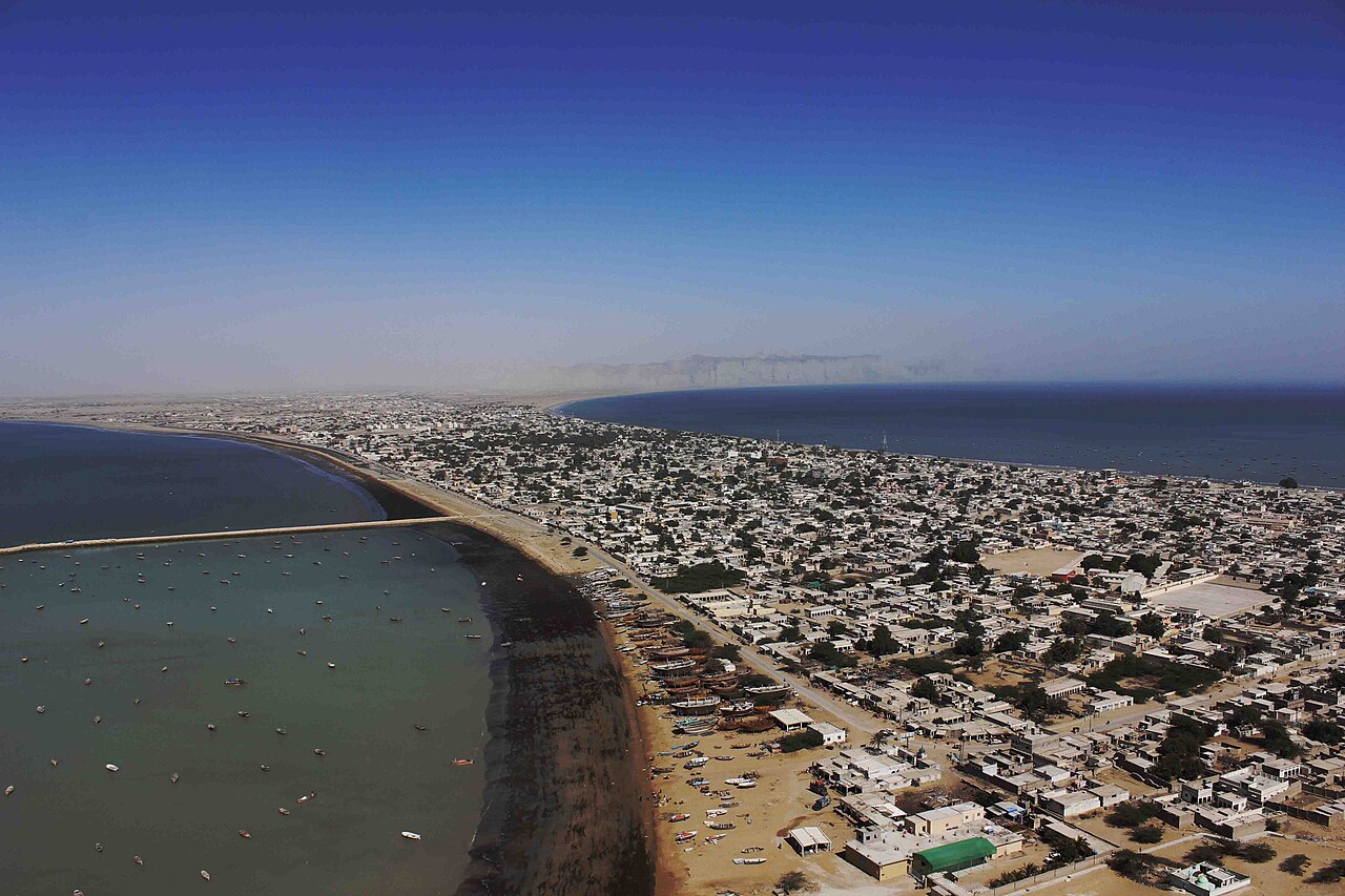
A town of about ninety thousand on a hammerhead peninsula — a tombolo — where a 240-metre-wide sandy isthmus runs twelve kilometres out to a rocky headland, the Koh-e-Batil, which rises to about 150 metres. The isthmus separates two almost perfect semicircular bays, one on each side. There is nowhere else in Pakistan shaped like it.
It has been the winter capital of Balochistan since October 2011, and the port is the sea end of the China–Pakistan Economic Corridor, which is why the place is in the news far more often than it is visited.
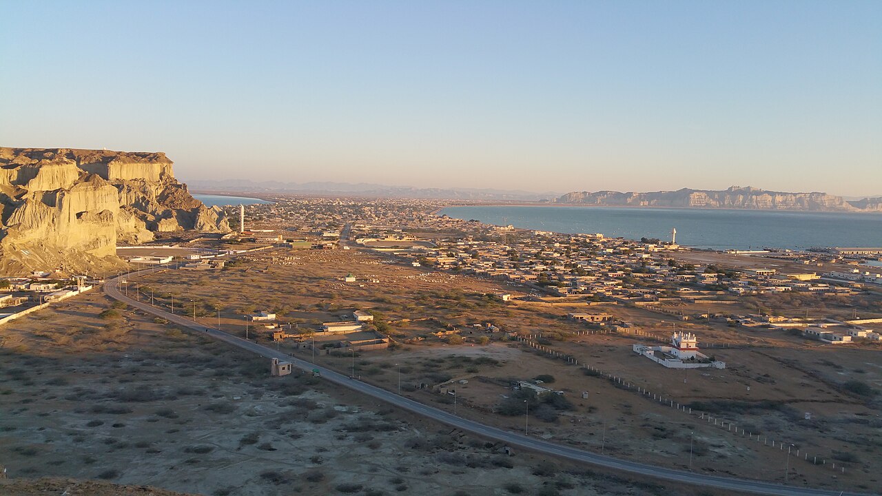
An Omani town until 1958
The Makran coast is old: Bronze Age settlement around the oases, then a stretch of the Achaemenid Persian empire, and when Alexander's admiral Nearchus took a fleet along this shore on the way home he recorded a dry, mountainous country of 'fish-eaters'.
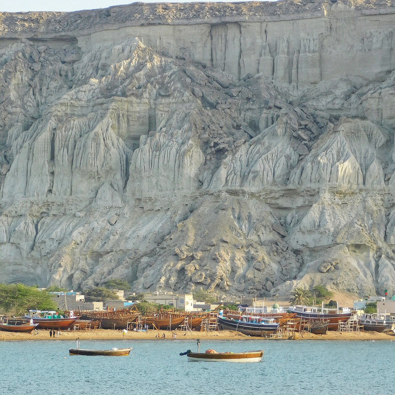
Gwadar was founded as a fishing settlement in the late seventeenth century and became a possession of the Sultanate of Muscat and Oman in 1783 — and stayed one for a hundred and seventy-five years. In 1958 Prime Minister Feroz Khan Noon and his wife Viqar-un-Nisa Noon persuaded the British government to transfer it, and on 8 September 1958 Oman handed it over, with Prince Karim Aga Khan IV contributing around three million dollars towards the purchase.
It was a tehsil of Makran district until 1977, when Makran became a division and Gwadar a district of its own.

The road is the reason to go
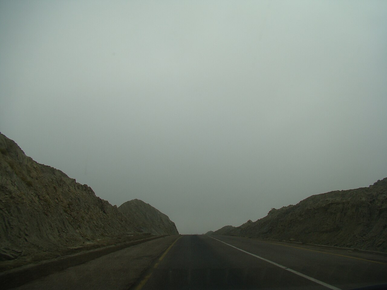
The N-10, the Makran Coastal Highway, runs 653 kilometres from Karachi to Gwadar past Ormara and Pasni. It was built by the Frontier Works Organisation — the same outfit that built the Karakoram Highway — beginning in 2002 and finished on 14 December 2004, in three years.
Before it, Gwadar was effectively reached by sea or air. The whole of the Makran coast that people now photograph — Kund Malir, the Hingol landforms, the mud volcanoes — became reachable by ordinary car because of that road, and within living memory.
It is long, empty and hot. Fuel and water are not continuous along it, and that is worth planning around rather than discovering.
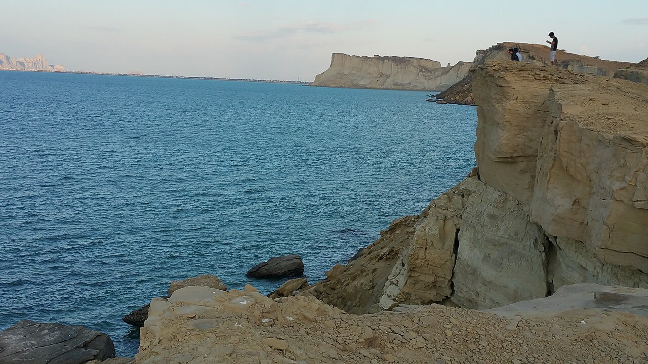
What there is to see
- The two bays
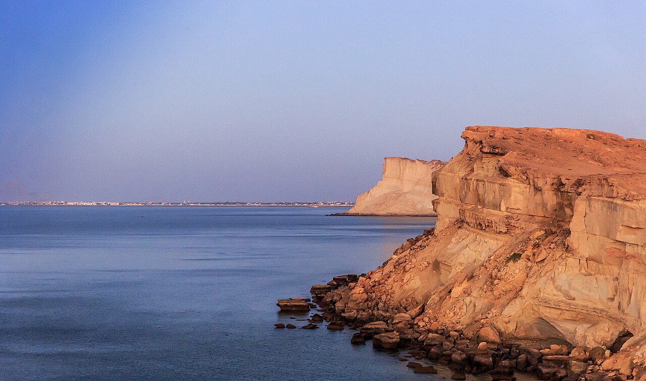
- East and west of the isthmus, with the Koh-e-Batil headland beyond. The shape of the place is best understood from the high ground.
- Kund Malir
- A beach in Hingol National Park, about halfway along the coastal highway from Karachi, and the stop most people build the drive around.
- The Princess of Hope
- A hoodoo in Hingol that looks like a standing figure. Angelina Jolie named it on a UN visit in 2004; the shape is entirely the work of wind.
- The Balochistan Sphinx
- A natural rock formation visible from the Buzi Pass section of the highway — you do not have to leave the road to see it.
- Hingol mud volcanoes
- Cones of 240 to 460 metres in the Mid-Hor area of the park. They were hard to reach before the highway; now they are a detour rather than an expedition.
- Hinglaj Mata mandir
- A major Hindu shrine in a cave at the centre of Hingol National Park, drawing a quarter of a million pilgrims each spring.



When to go, and when not to
Gwadar has a hot desert climate, but the sea takes the edge off it in both directions: the mean temperature in June, the hottest month, sits between 31 and 32°C — cooler than inland Pakistan or the Gulf — and January means 18 to 19°C, with milder nights than inland.
That evenness is the Makran coast's real characteristic, and it makes winter the comfortable season for the drive. There is very little rain at any time of year.
This is a long road through empty country. Check the security situation for the route before setting off, as you would for any long drive in Balochistan — that is not something a weather forecast or this page can tell you.
Where this comes from
- Gwadar — Wikipedia — The Omani period and the 1958 transfer, the tombolo, the climate figures. Written from it, not copied; Wikipedia is CC BY-SA 4.0.
- Makran Coastal Highway — Wikipedia — The N-10's length, the builder and the 2002–2004 construction dates.
- Hingol National Park — Wikipedia — The Princess of Hope, the Balochistan Sphinx, the mud volcanoes and the Hinglaj shrine.
- OpenStreetMap — Road distances and driving times, via OSRM.