
Hunza
Hunza District, Gilgit-Baltistan
On video
Peak Autumn Color in Hunza Valley | 4K Drone Film by Batura_Films_Production on YouTube. Not ours, and not an endorsement — it is the clearest look at the drive and the valley we could find.
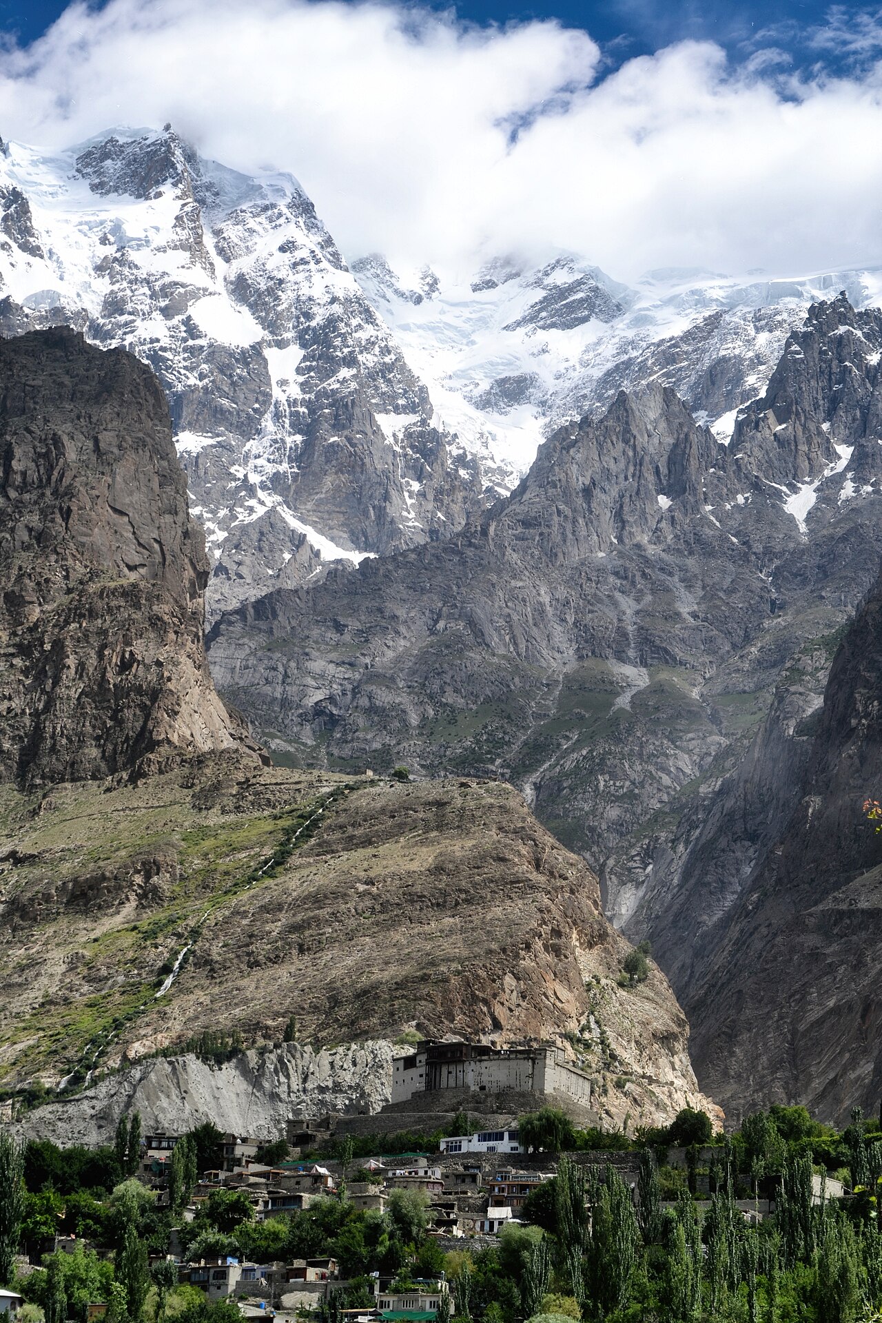
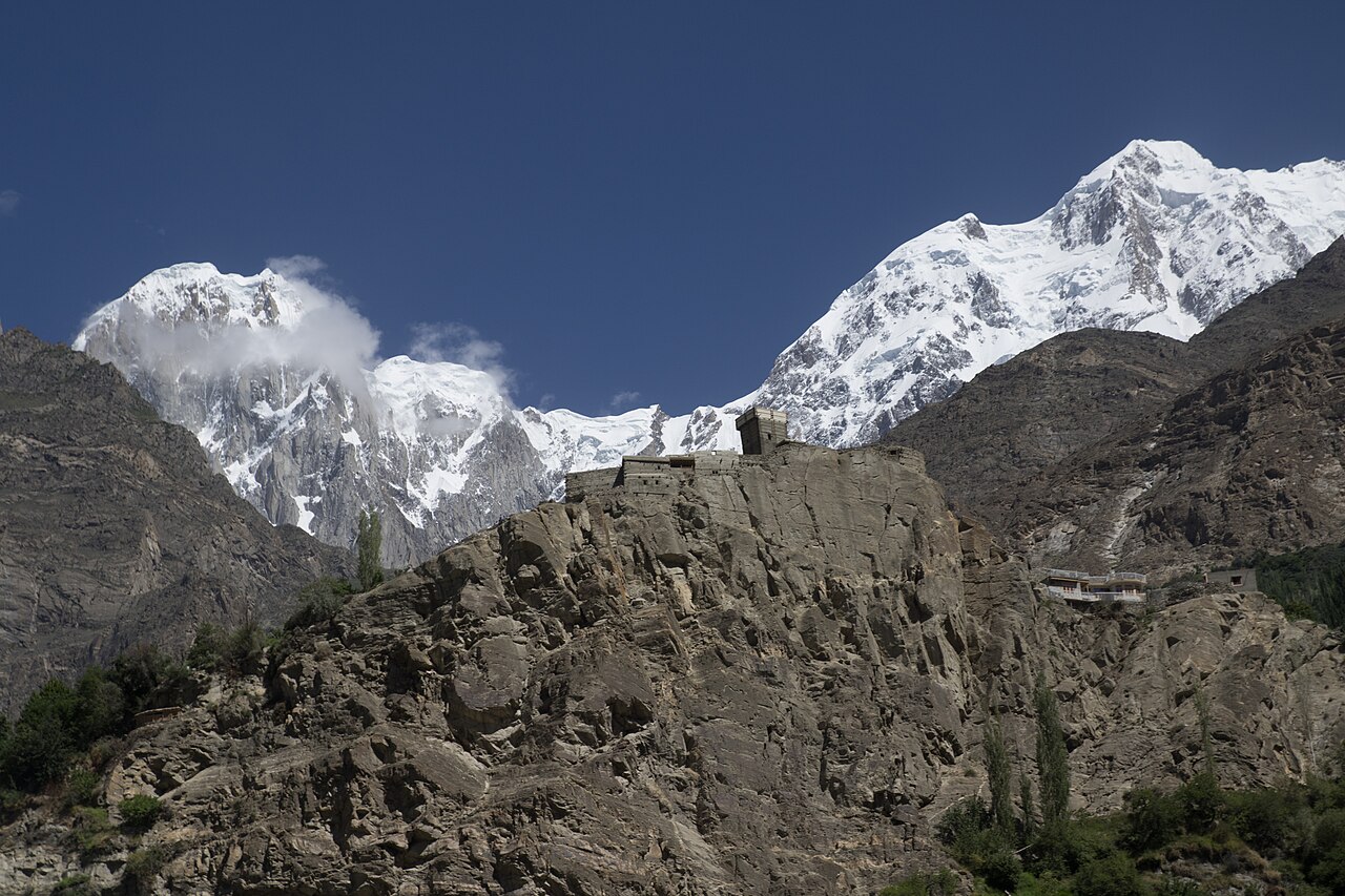
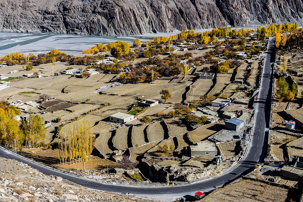
Hunza is the valley the Karakoram Highway runs through on its way to China, and the one most Pakistanis picture when they picture the north — terraced orchards on the valley floor, two forts on the cliffs above them, and Rakaposhi standing over the road at 7,788 metres. Karimabad is the town at the middle of it, and the name the distances on this site are measured to.
Weather at Karimabad
Up at 2,290 m: -16.5°C there now, mostly clear. Over the next 24 hours -17.3°C to 0.9°C. It goes below freezing.
This is the weather at Karimabad, not a road report — whether the road is open depends on ploughing, landslides and local decisions no forecast knows about, so check before you set off. Forecast from MET Norway, CC BY 4.0.
What it costs to drive there
| From | Distance | Driving | Petrol |
|---|---|---|---|
| Islamabad | 564 km | 7 h | Rs 15,400 |
| Rawalpindi | 573 km | 7.1 h | Rs 15,700 |
| Lahore | 923 km | 10.8 h | Rs 25,200 |
| Karachi | 1957 km | 24.8 h | Rs 53,500 |
| Peshawar | 658 km | 7.9 h | Rs 18,000 |
| Gilgit | 100 km | 1.3 h | Rs 2,700 |
A car doing 12 km/l at today’s Rs 328.00/litre. Open a row to work it out for your own car, your own speed and with the air conditioning on — or see every distance from Karimabad.
What it is
The valley runs along the Hunza river, which gathers near Passu out of streams fed by Karakoram glaciers — Shimshal, Khunjerab, Chupursan, Misgar. It widens around Karimabad, where most of the settlements are, and opens into the Gilgit valley at Danyor.
It is a border valley in every direction: the Wakhan corridor of Afghanistan to the north, Xinjiang to the northeast, Ishkoman to the northwest, Shigar to the southeast. That position is the whole history — Hunza sat on the trade routes between Central Asia and the subcontinent, and sheltered the Buddhist monks moving along them.
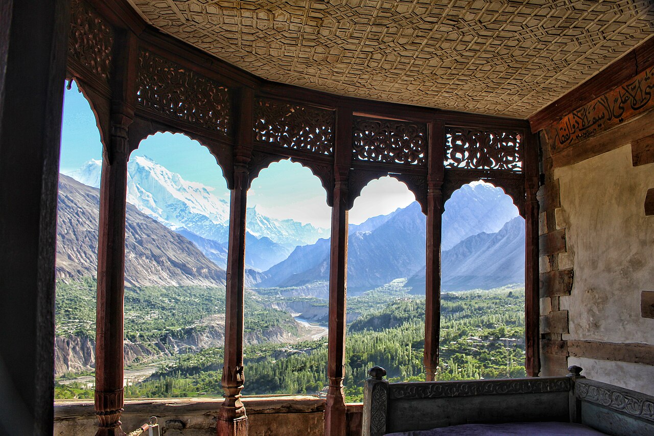
A kingdom that lasted until 1974
Hunza was an independent principality from around 1200, ruled by men who took the title Mir and claimed descent from Alexander. Its people were known as Kanjutis. From about 1760 the Mirs recognised the Qing emperor as their suzerain and sent an annual tribute of sixteen tola of gold dust, receiving silk, black tea and porcelain in return.
The British took it in 1891 in the Anglo-Burusho war and made it a princely state. After partition it stood unaligned for three months and then acceded to Pakistan in November 1947. It was the last princely state in Pakistan to be abolished, in 1974 — within living memory of anyone over sixty in the valley.
Before Islam this was a Buddhist and Bön valley, and the evidence is lying by the roadside: the Sacred Rock of Hunza carries petroglyphs and inscriptions in Brahmi script left by monks. Most of the valley today is Ismaili.
The lake that was not there in 2009
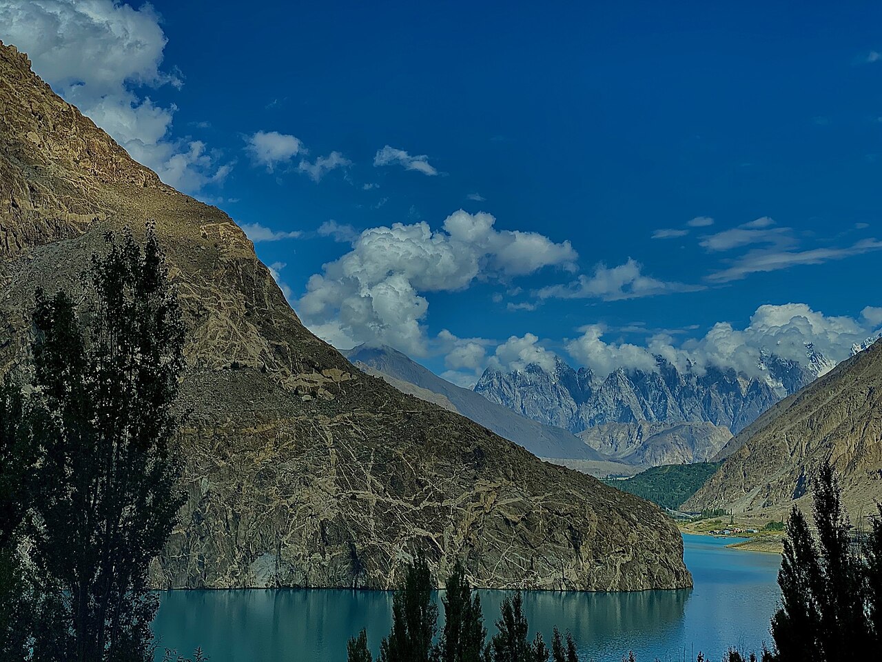
On 4 January 2010 a landslide came down across the river at Attabad. It killed twenty people, dammed the Hunza, and drowned about 26 kilometres of the Karakoram Highway. The water backed up into a lake thirty kilometres long and a hundred and twenty metres deep.
For years afterwards the only way through was by boat. The highway was eventually rebuilt around it through tunnels, and the lake — which is an extraordinary colour — is now one of the things people drive up to see. It is worth knowing what it is while you are looking at it.
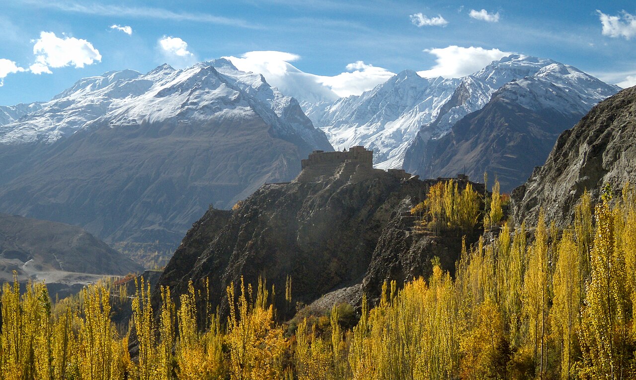
What there is to see
- Baltit Fort
- Above Karimabad, built by the Mirs around eight hundred years ago and restored in the 1990s. The view from the roof is the one on every postcard of Hunza.
- Altit Fort
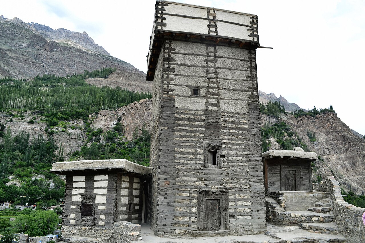
- Lower down the valley and older than Baltit. Stone, wood and mud, built onto the rock itself.
- Attabad Lake
- Thirty kilometres of turquoise water that did not exist before January 2010. The highway now runs past it through tunnels.
- Rakaposhi
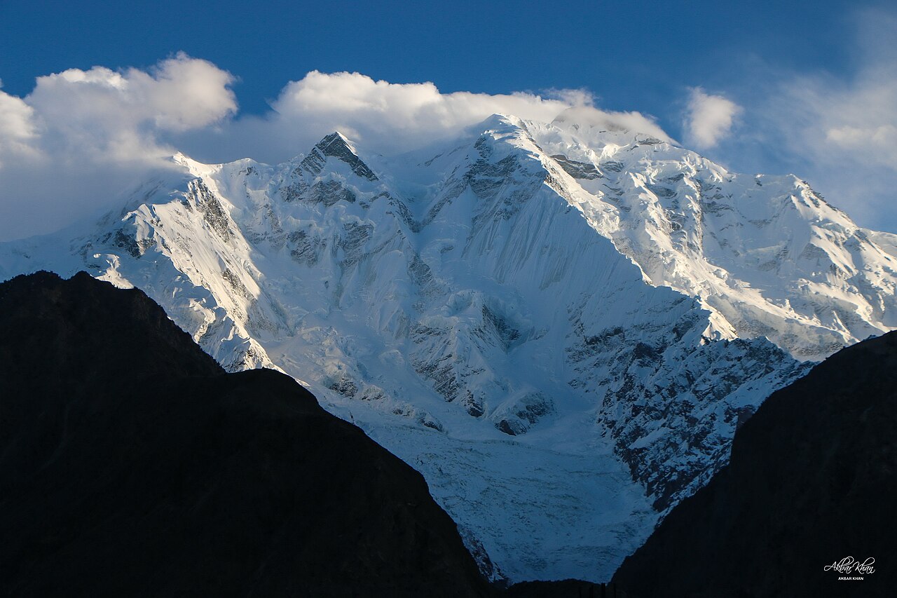
- 7,788 metres, and visible from the road on the way up — there is a viewpoint where people stop for tea with the whole face in front of them.
- Eagle's Nest, above Duikar
- The high viewpoint over Karimabad, worth the climb for sunrise if you can manage it.
- Khunjerab Pass
- 4,693 metres and the Chinese border, about three hours further up the Karakoram Highway. Open in summer; shut by snow the rest of the year.
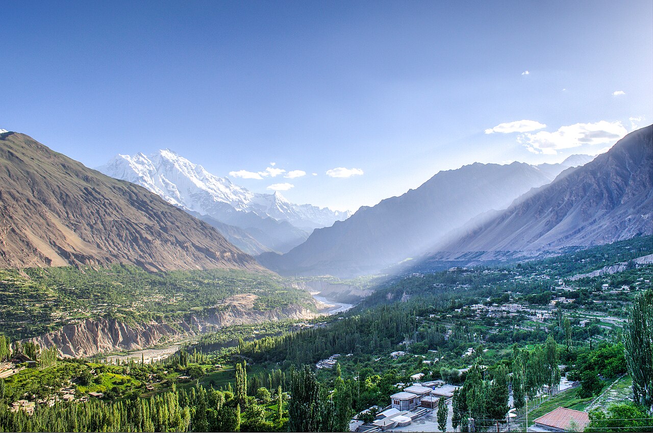





When to go, and when not to
Two seasons have a following, for different reasons. April and early May are the blossom — apricot and cherry across the terraces — and late October into November is the autumn colour, which is what most of the photographs of Hunza are of.
Summer is the easy driving and the only time Khunjerab is open. Winter closes the high passes and makes the upper valley hard work, although Karimabad itself stays reachable.
Where this comes from
- Hunza Valley — Wikipedia — Geography, the 2010 landslide, the forts and the languages. Written from it, not copied; Wikipedia is CC BY-SA 4.0.
- Hunza (princely state) — Wikipedia — The Mirs, the tribute to Qing China, 1891, and the abolition in 1974.
- MET Norway — The live forecast and the town's height, CC BY 4.0.
- OpenStreetMap — Road distances and driving times, via OSRM.