
Kalam
Swat Kohistan, Khyber Pakhtunkhwa
On video
Driving Through Kalam to Ushu Forest 4K by Beauty Of Asia on YouTube. Not ours, and not an endorsement — it is the clearest look at the drive and the valley we could find.
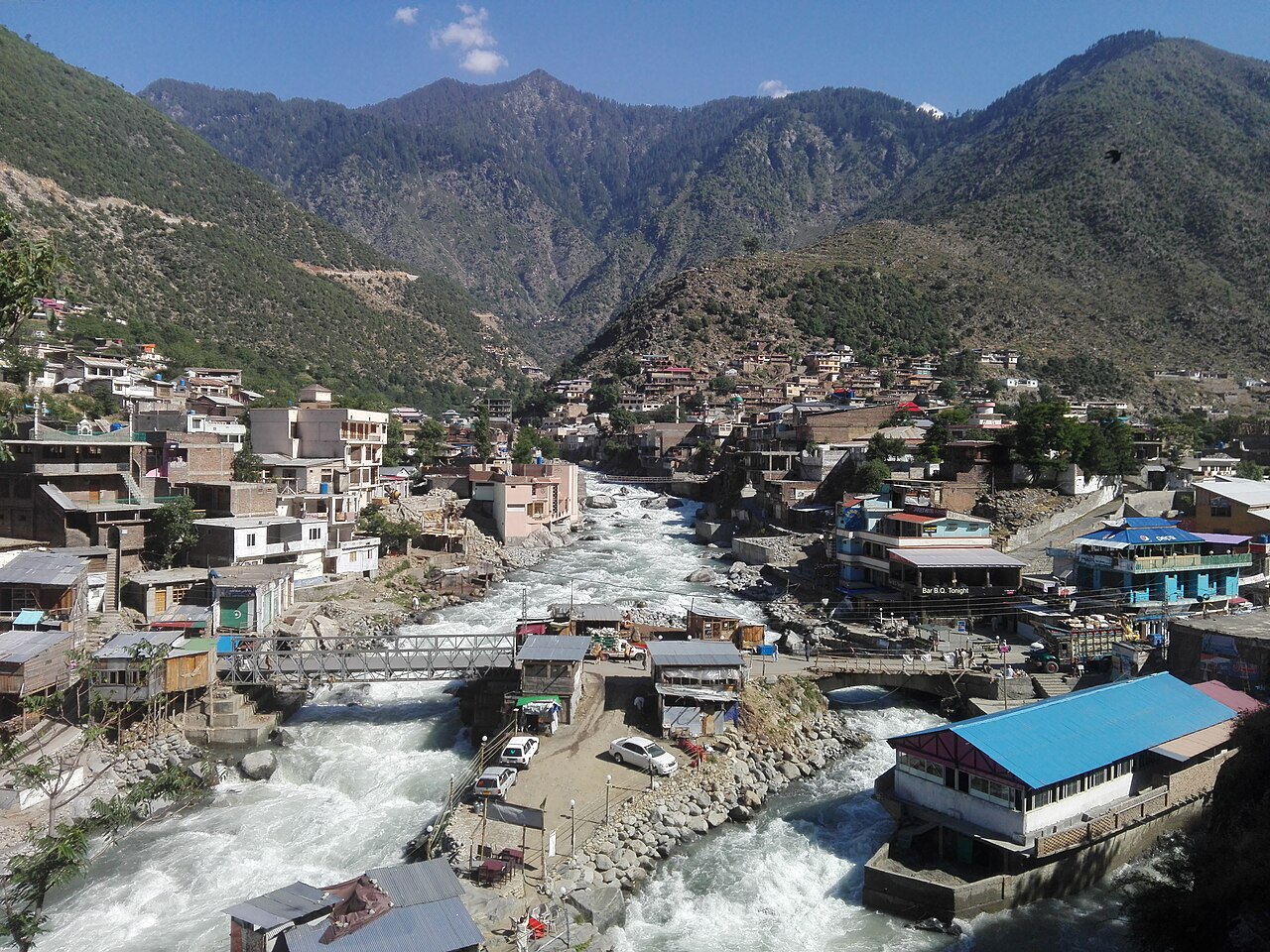
Kalam is where the Swat river begins — the Gabral and the Ushu meet here — and where the drive up the Swat valley stops being farmland and becomes mountains. It is the base for the lakes above it, and the last town of any size before the tarmac gives out.
Weather at Kalam
Up at 2,009 m: 9.1°C there now, clear. Over the next 24 hours -13.6°C to 9.5°C. It goes below freezing.
This is the weather at Kalam, not a road report — whether the road is open depends on ploughing, landslides and local decisions no forecast knows about, so check before you set off. Forecast from MET Norway, CC BY 4.0.
What it costs to drive there
| From | Distance | Driving | Petrol |
|---|---|---|---|
| Islamabad | 332 km | 4.1 h | Rs 9,100 |
| Rawalpindi | 328 km | 4.1 h | Rs 9,000 |
| Lahore | 647 km | 8.3 h | Rs 17,700 |
| Karachi | 1703 km | 20.1 h | Rs 46,500 |
| Peshawar | 264 km | 3.6 h | Rs 7,200 |
| Multan | 822 km | 10.1 h | Rs 22,500 |
A car doing 12 km/l at today’s Rs 328.00/litre. Open a row to work it out for your own car, your own speed and with the air conditioning on — or see every distance from Kalam.
What it is
A valley in Swat Kohistan, in what is now Upper Swat District, at the confluence of two rivers that together become the Swat. It is predominantly Gawri-speaking — a different language from the Pashto of the lower valley, which is part of why the top of this valley feels like somewhere else.
The climate is humid continental: about 13.4°C across the year, 24.1°C in July, 1.5°C in January, and around 639 mm of rain. April is the wettest month and November the driest.
The lakes above it
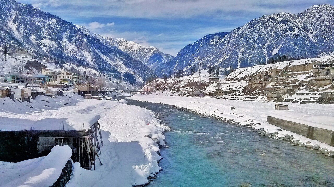
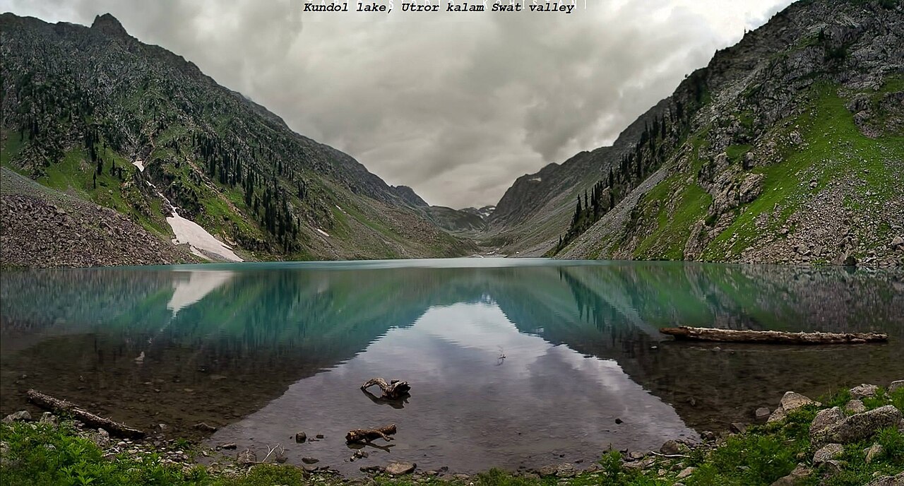
Mahodand is the one most people come for — about 40 kilometres up the Ushu valley at the foot of the Hindu Kush. Kundol is 19 kilometres away, above Utror.
Both are the easy ones. Izmis and the lakes higher up need a trek, which is a different kind of trip from a drive and worth knowing before setting out expecting to park at one.
What you are driving matters more than how far
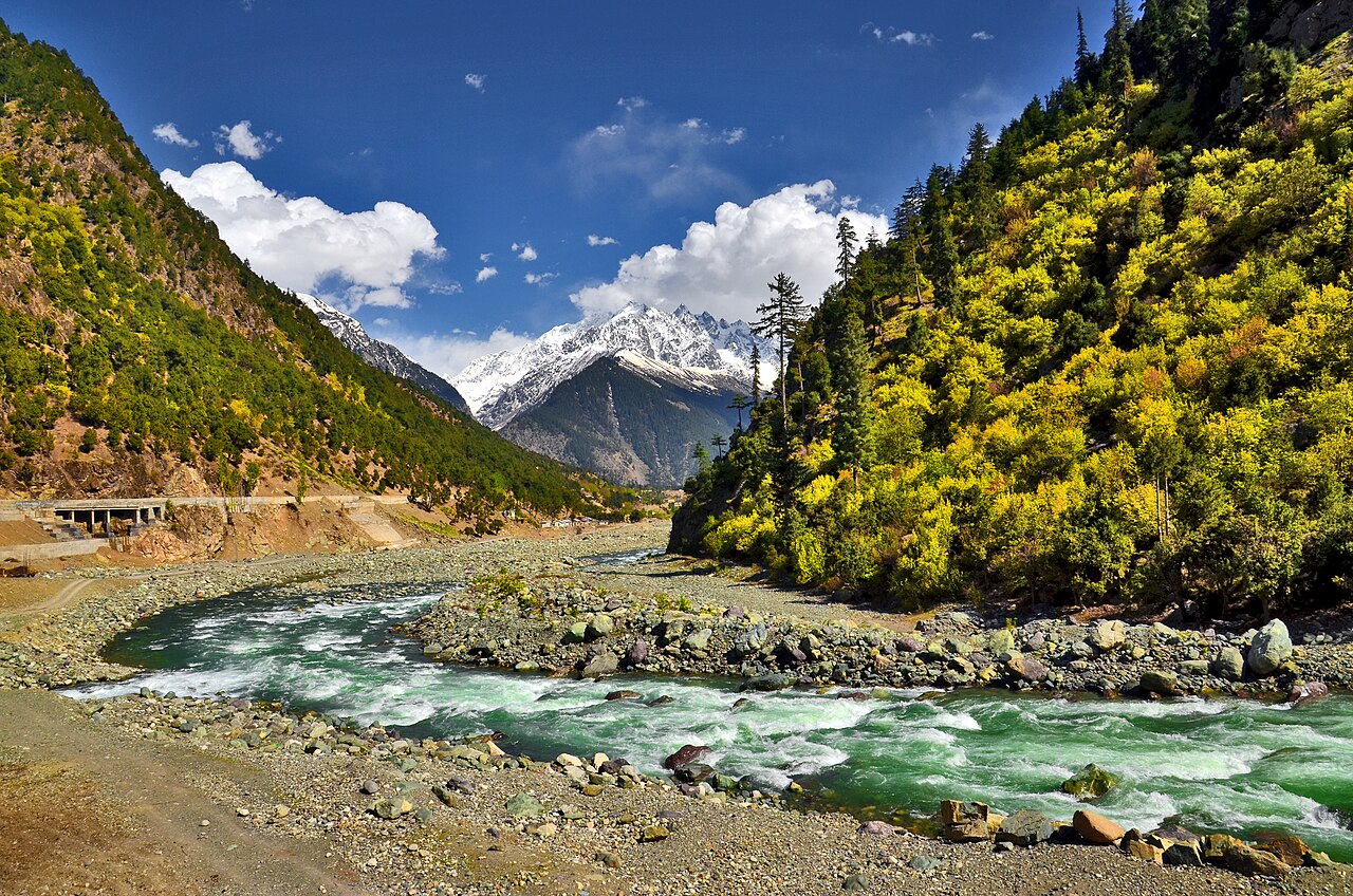
The road from Mingora through Bahrain is ordinary tarmac. Beyond Kalam it is not: the tracks to Mahodand and Kundol are rough, which is why there are jeeps for hire in Kalam bazaar in season.
A saloon gets to Kalam comfortably and should stop there. The distances below are to Kalam, not to the lakes above it.
What there is to see
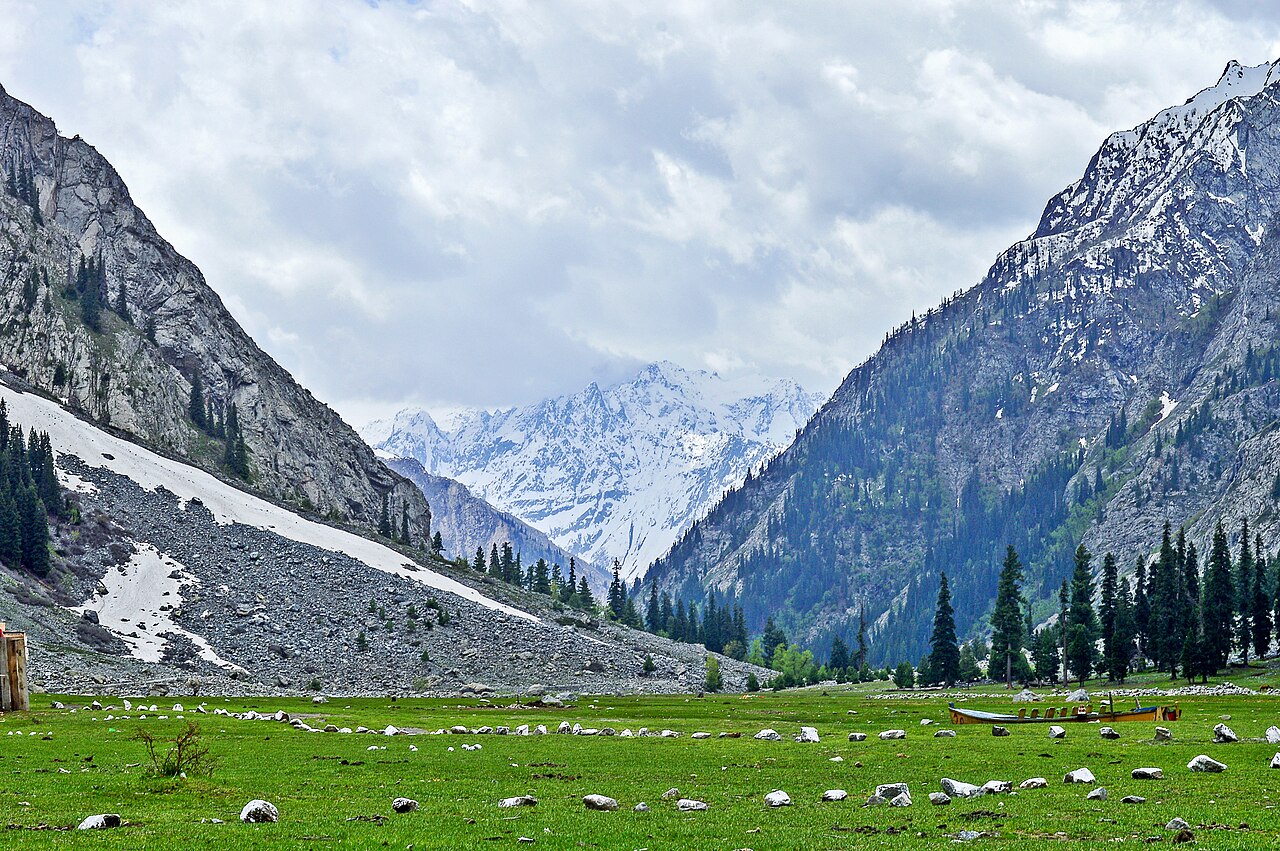
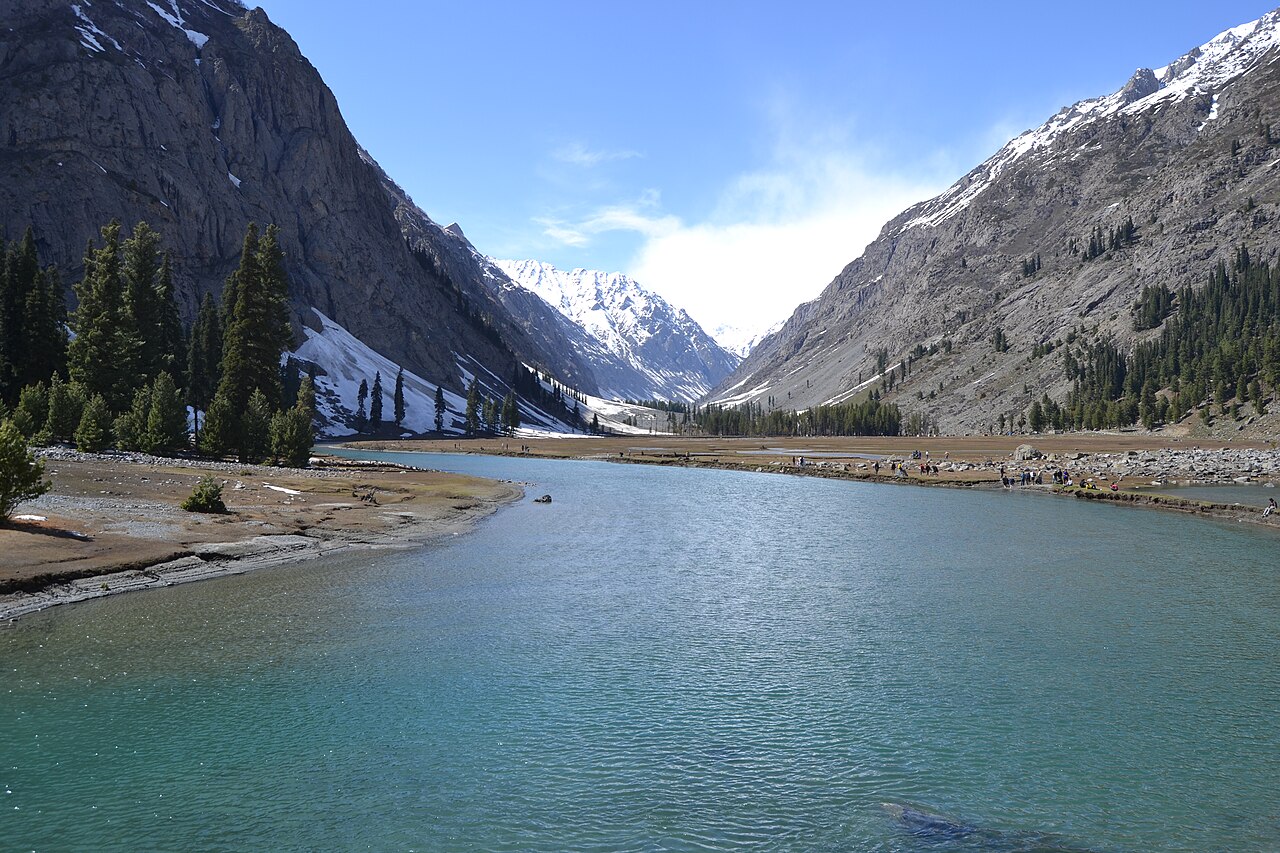
- Mahodand Lake
- About 40 km up the Ushu valley. The track is rough; jeeps go from Kalam.
- Kundol Lake
- 19 km above Utror, and the other one that can be done in a day.
- Ushu forest
- The cedar forest on the way up towards Mahodand, worth the drive on its own.
- The confluence
- Where the Gabral and the Ushu meet to make the Swat, in the town itself.
When to go, and when not to
May to September. July is the warmest month at about 24.1°C, and April the wettest.
January averages 1.5°C and the upper valley is shut by snow. The tracks to the lakes open later in the year than the road to Kalam itself does.
Where this comes from
- Kalam Valley — Wikipedia — The confluence, the Gawri language, the climate figures and the lakes. Written from it, not copied; Wikipedia is CC BY-SA 4.0.
- MET Norway — The live forecast and the town's height, CC BY 4.0.
- OpenStreetMap — Road distances and driving times, via OSRM.