
Khewra Salt Mine
Jhelum District, Punjab
On video
Inside the Second Largest Salt Mine in the World by Karl Rock on YouTube. Not ours, and not an endorsement — it is the clearest look at the drive and the valley we could find.
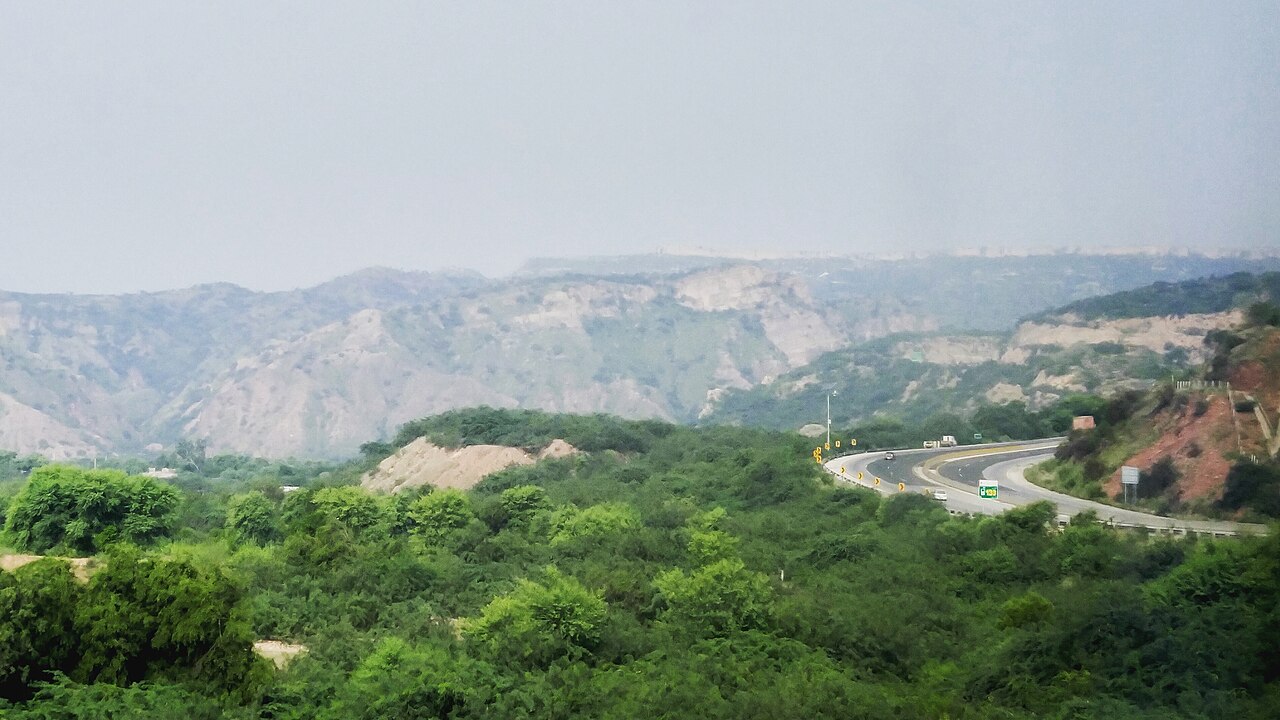
Khewra is the second largest salt mine in the world, cut into the Salt Range two hours off the motorway, and it is the easiest great day out in Pakistan: you drive to the gate, get on an electric train and go a kilometre into a hill made of salt. It has been worked since the Mughal era and it still produces 350,000 tonnes a year.
What it costs to drive there
| From | Distance | Driving | Petrol |
|---|---|---|---|
| Islamabad | 176 km | 2.2 h | Rs 4,800 |
| Rawalpindi | 177 km | 2.3 h | Rs 4,800 |
| Lahore | 237 km | 2.7 h | Rs 6,400 |
| Karachi | 1287 km | 15.1 h | Rs 34,900 |
| Peshawar | 310 km | 3.7 h | Rs 8,400 |
| Multan | 407 km | 5 h | Rs 11,000 |
A car doing 12 km/l at today’s Rs 325.00/litre. Open a row to work it out for your own car, your own speed and with the air conditioning on — or see every distance from Khewra.
What it is
A salt mine at Khewra in Jhelum District, in the Salt Range of the Pothohar plateau where it rises out of the Punjab plain. It is the second largest in the world and the largest source of salt in Pakistan, producing more than 350,000 tonnes a year of roughly 99 per cent pure halite.
Estimates of what is left in it range from 82 million tonnes to 600 million. It draws up to 250,000 visitors a year, which makes it one of the most visited paid attractions in the country.
Pink salt, and who found it
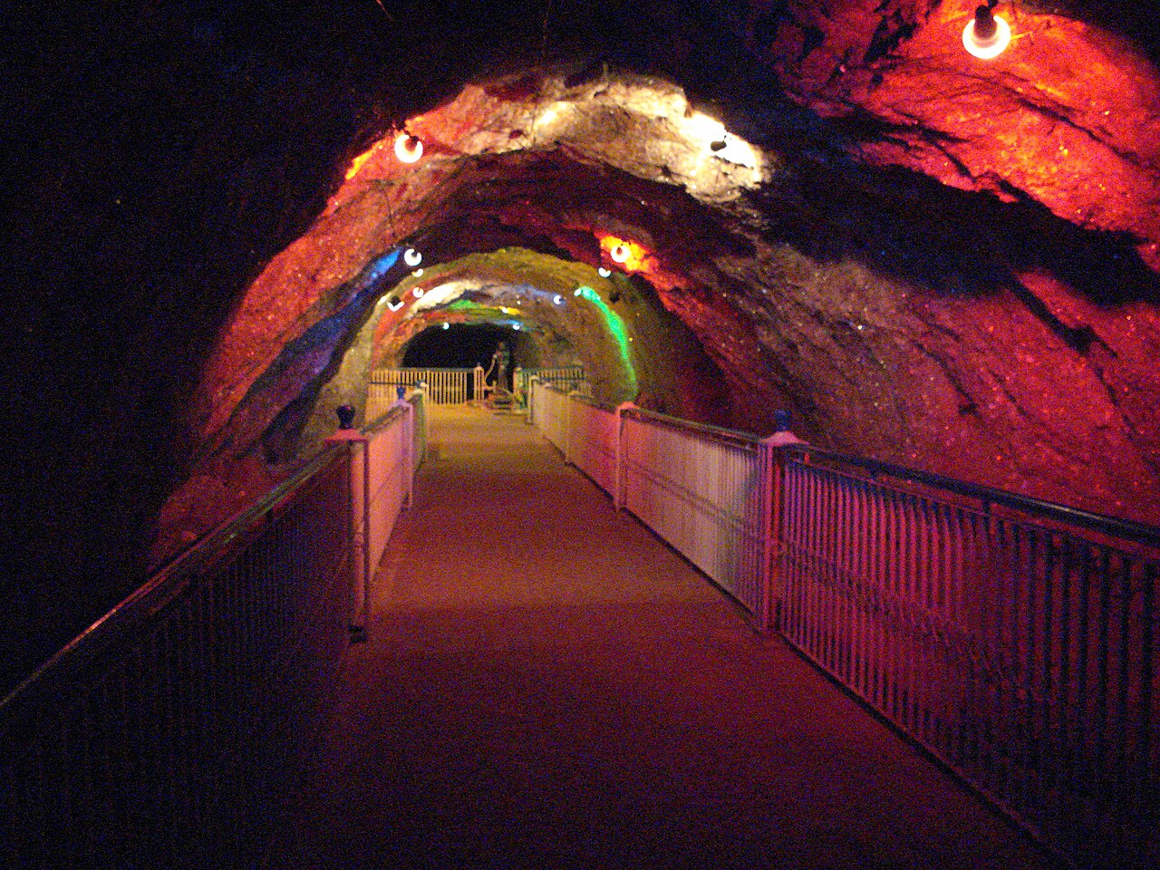
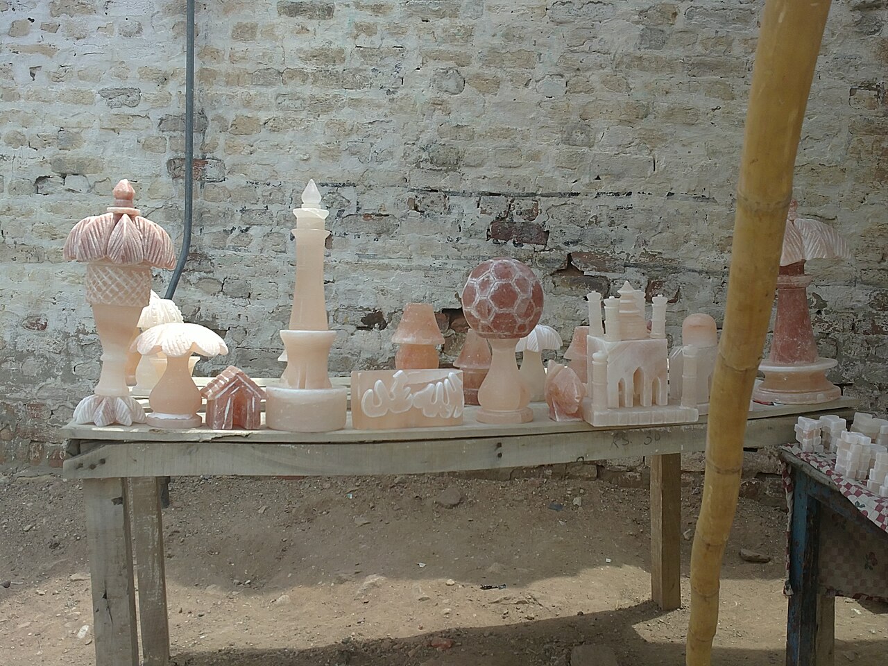
The mine produces the pink Khewra salt sold worldwide as Himalayan salt. The discovery is traditionally dated to Alexander's troops in 326 BC, though trading in it began in the Mughal era.
The main tunnel at ground level — the one visitors walk and ride through — was driven in 1872 by a mining engineer called H. Warth, under British rule. After independence the mine passed through the BMR, the Pakistan Industrial Development Corporation, the West Pakistan Industrial Development Corporation and finally, in 1974, the Pakistan Mineral Development Corporation, which still runs it.
What is inside
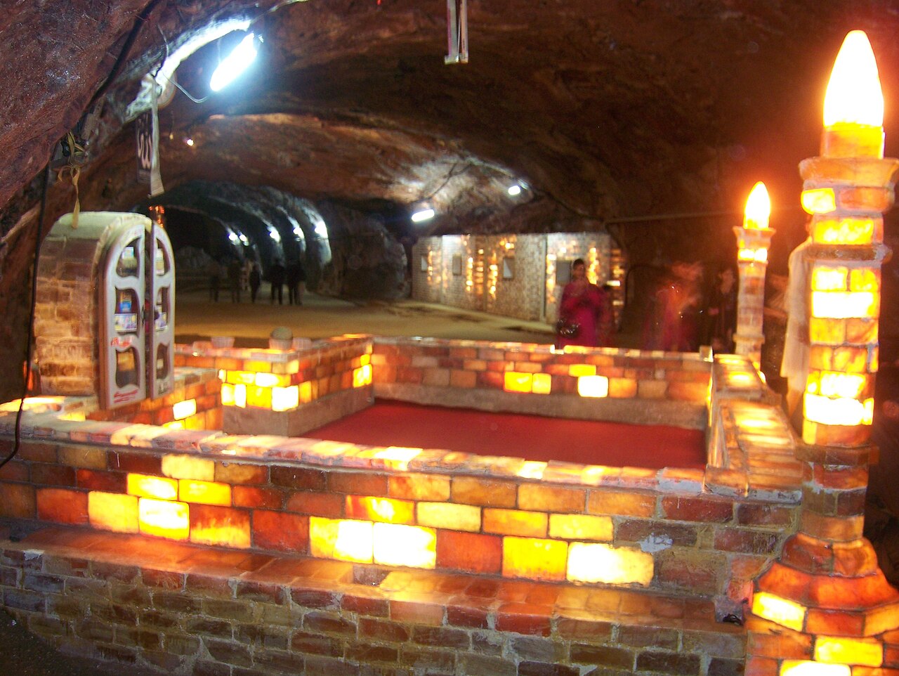
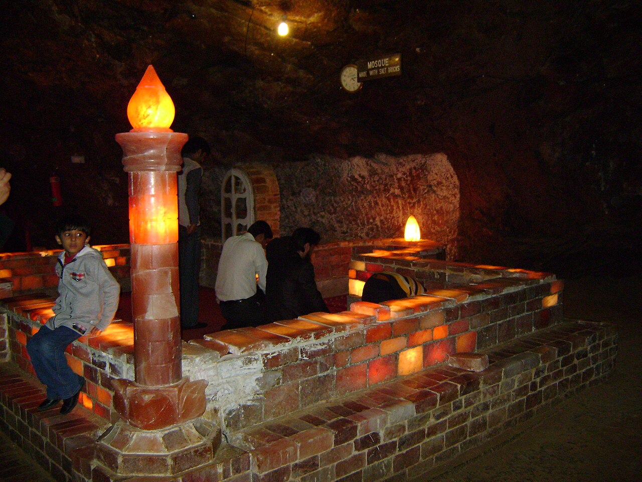
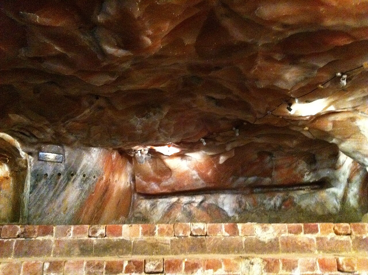
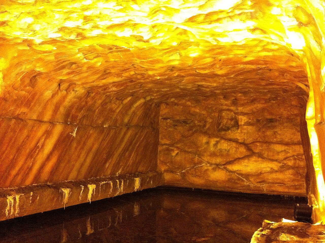
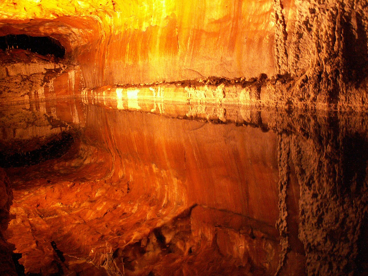
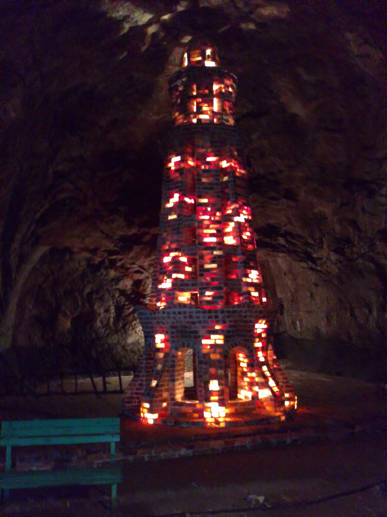
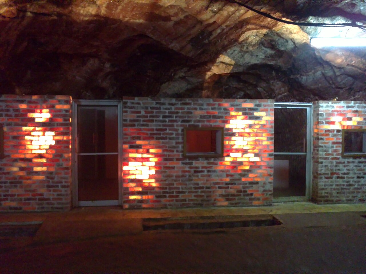
A mosque built of salt bricks and lit from behind, galleries worked in Mughal times, brine pools, crystal on the walls and a small electric railway that carries visitors in.
The tourist section is a fraction of the workings. What you see is the showpiece built around a mine that is still a mine.
The rock it is cut into
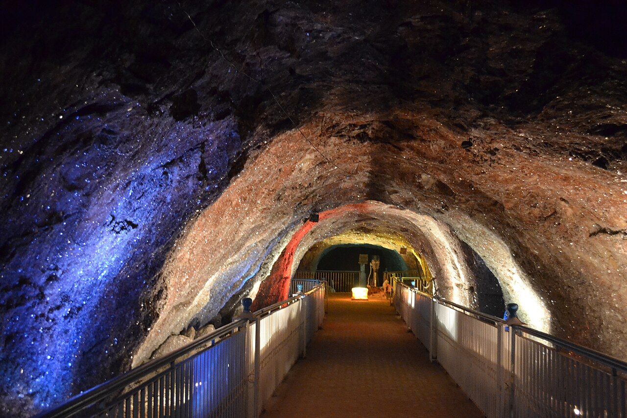
The mine sits in the base of a thick, folded and faulted layer of Ediacaran to early Cambrian evaporites — the Salt Range Formation. The bottom layer is crystalline halite interleaved with potash salts, under gypsiferous marl, then beds of gypsum and dolomite with occasional seams of oil shale.
Those strata have been pushed south over much younger rock by many kilometres. The Salt Range is the southern edge of a fold-and-thrust belt that underlies the whole Pothohar plateau, and it exists because India is still running into Eurasia.
What there is to see
- The salt mosque
- Built of salt bricks and lit from inside. The photograph everybody takes.
- The electric railway
- The small train that runs visitors a kilometre into the hill.
- The Mughal workings
- Galleries cut before the British tunnel, still visible on the route.
- Katas Raj
- The temple complex in the same Salt Range, an easy add-on by car.
- Kallar Kahar
- The other Salt Range stop, back towards the M2.

When to go, and when not to
Any time. The mine holds roughly the same temperature all year, so the inside is pleasant in July and in January alike — which makes it one of the few Pakistani destinations with no season.
The drive is the only variable. October to March is the comfortable half of the year above ground; a June afternoon in the Salt Range car park is not.
Where this comes from
- Khewra Salt Mine — Wikipedia — The second-largest ranking, the 350,000 tonnes and 99 per cent purity, the 82-to-600-million-tonne reserve estimates, the 250,000 visitors, the 326 BC discovery and Mughal trading, H. Warth and the 1872 tunnel, the chain of state owners, and the Salt Range Formation geology. Written from it, not copied; Wikipedia is CC BY-SA 4.0.
- OpenStreetMap — Road distances and driving times, via OSRM.