
Khunjerab Pass
Hunza and Nagar districts, Gilgit-Baltistan
On video
Khunjerab Pass — Pak/China Borders [4K] by Junaid Kureshi on YouTube. Not ours, and not an endorsement — it is the clearest look at the drive and the valley we could find.
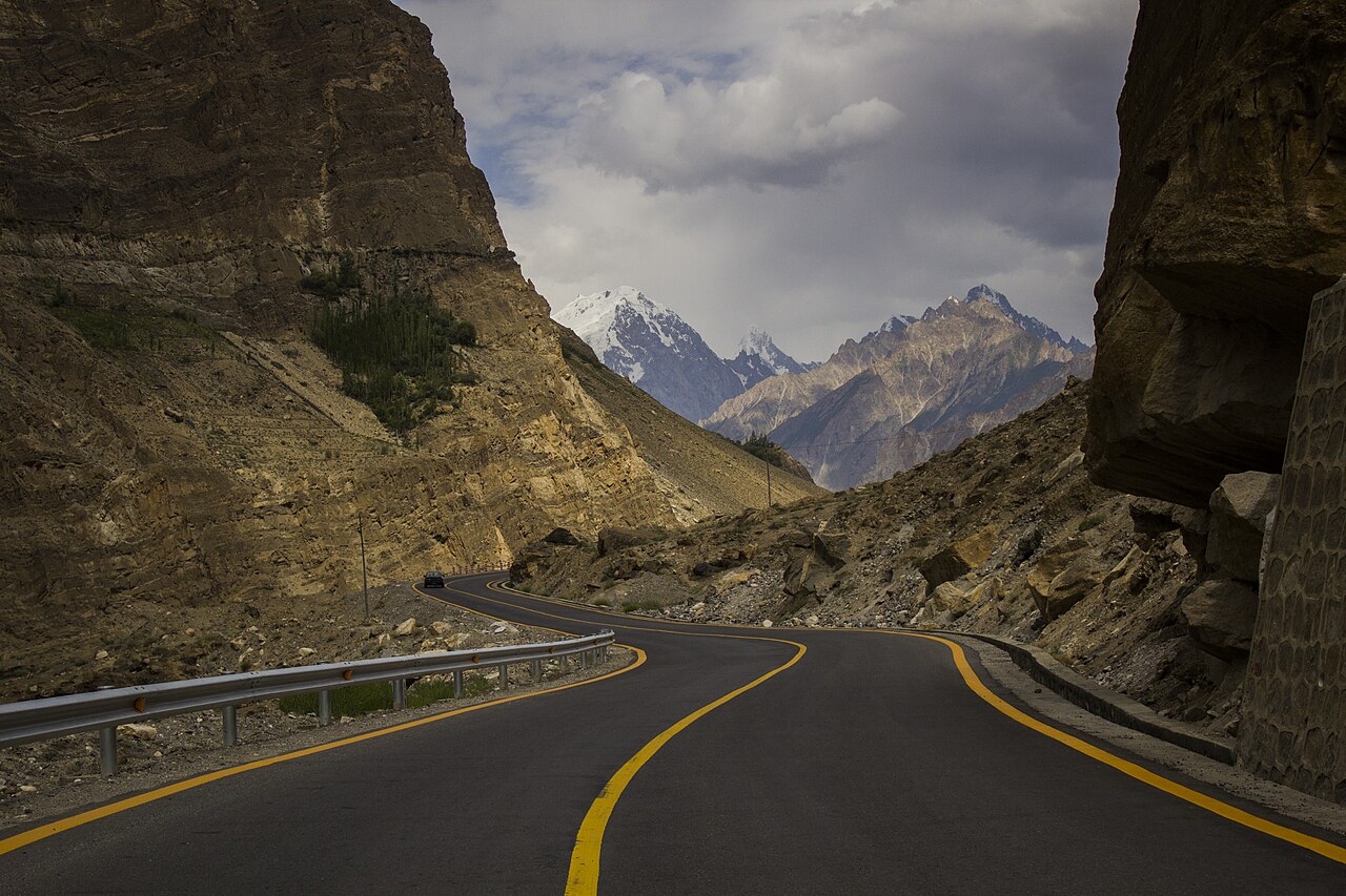
Khunjerab is the highest paved international border crossing in the world, at 4,693 metres, where the Karakoram Highway ends at China. It is 870 kilometres from Islamabad, it is closed for a quarter of the year, and the last 75 kilometres have nothing on them at all.
Before you set off: The road is normally shut to heavy vehicles from 30 November to 1 May and to all vehicles from 30 December to 1 April, though late snowfall has made that less fixed than it used to be. Sost is the last customs post and the last fuel and supplies — there is nothing in the 75 kilometres between it and the top. The pass is 4,693 metres, so altitude, not the road surface, is what catches people out.
Weather at Khunjerab Pass
Up at 4,697 m: -17.4°C there now, clear. Over the next 24 hours -24.5°C to -11.1°C. It goes below freezing.
This is the weather at Khunjerab Pass, not a road report — whether the road is open depends on ploughing, landslides and local decisions no forecast knows about, so check before you set off. Forecast from MET Norway, CC BY 4.0.
What it costs to drive there
| From | Distance | Driving | Petrol |
|---|---|---|---|
| Islamabad | 845 km | 10.5 h | Rs 22,900 |
| Rawalpindi | 834 km | 10.5 h | Rs 22,600 |
| Lahore | 1109 km | 14.1 h | Rs 30,000 |
| Karachi | 2242 km | 26.6 h | Rs 60,700 |
| Peshawar | 856 km | 10.9 h | Rs 23,200 |
| Multan | 1354 km | 16.5 h | Rs 36,700 |
A car doing 12 km/l at today’s Rs 325.00/litre. Open a row to work it out for your own car, your own speed and with the air conditioning on — or see every distance from Khunjerab Pass.
Distances into Gilgit-Baltistan are the year-round Karakoram Highway route. The shortcut over Babusar Top is roughly a hundred kilometres less, and is open from about mid-July to late September.
What it is
A pass on the Karakoram Highway in Gilgit-Baltistan, on the border with the Xinjiang region of China, at 4,693 metres in the Karakoram. On the Pakistani side it sits in Hunza and Nagar districts.
The name comes from Wakhi: khun, house, and jerab, a creek from a spring or waterfall — 'waterfall house'.
Why the road goes over this pass
The decision was made in 1966. The older routes across the Karakoram were the unpaved Mintaka and Kilik passes; China argued that Mintaka would be too exposed to air strikes and recommended the steeper Khunjerab instead.
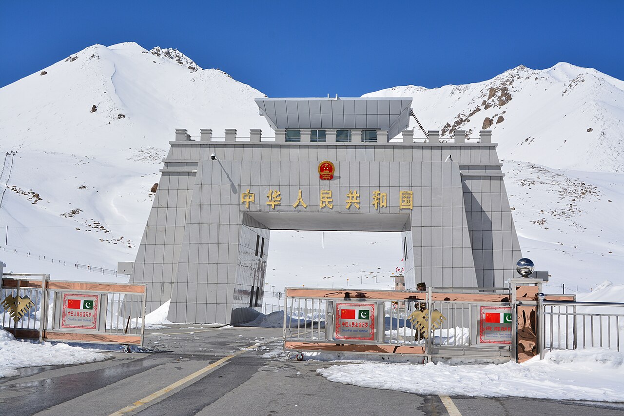
The road over it was finished in 1982, and it has carried the crossing ever since. It is both the highest point on the Karakoram Highway and the highest paved border crossing anywhere.
The distances, which are the point
From the top it is 42 kilometres back to the national park station and checkpoint at Dih, 75 kilometres to the customs and immigration post at Sost, 270 kilometres to Gilgit and 870 kilometres to Islamabad.
That last figure is the Karakoram Highway the whole way, and the table on this page gives 845 for the same journey - the two are the same road measured from slightly different points in Islamabad. What neither of them is, any more, is the Babusar Top shortcut over the Kaghan valley: that is about a hundred kilometres less, it is a real road, and it is shut by snow for most of the year, so it is named separately rather than quoted as the distance.
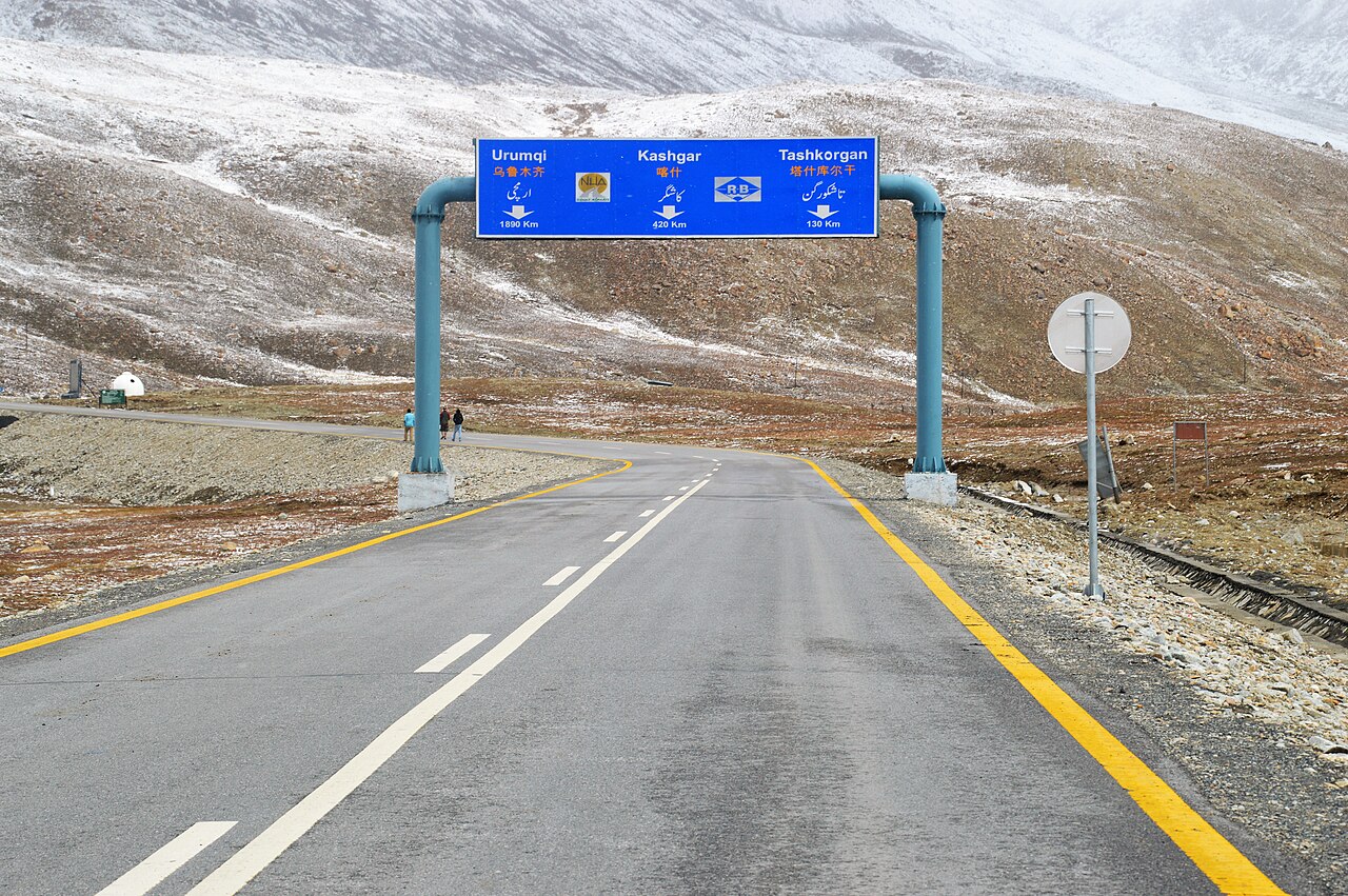
On the Chinese side the pass is the south-west terminus of China National Highway 314: 130 kilometres to Tashkurgan, 420 to Kashgar, 1,890 to Urumqi. The Chinese port of entry is three and a half kilometres down from the pass.
When it is shut
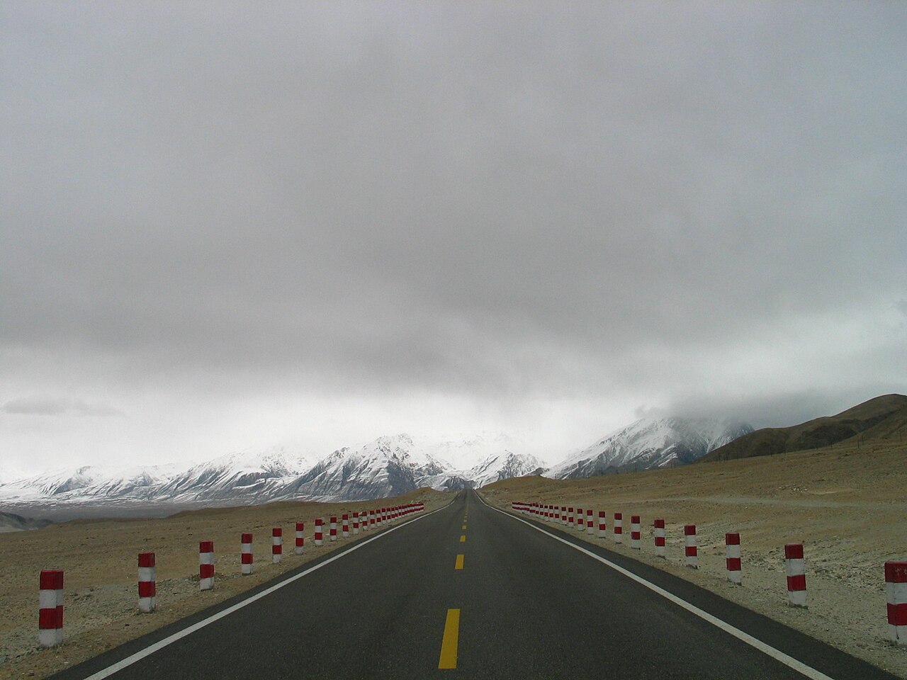
The pass is long and relatively flat and spends the winter under snow. It is generally closed to heavy vehicles from 30 November to 1 May, and to all vehicles from 30 December to 1 April.
Those dates are not fixed. Late snowfall attributed to climate change has meant the road is sometimes passable through winter months, and the actual closure depends on how much has fallen. Confirm locally rather than from a date.
What there is to see
- The border gate
- 4,693 metres, the top of the Karakoram Highway and the end of Pakistan.
- Sost
- The customs and immigration post, 75 km below. Last fuel and supplies.
- Khunjerab National Park
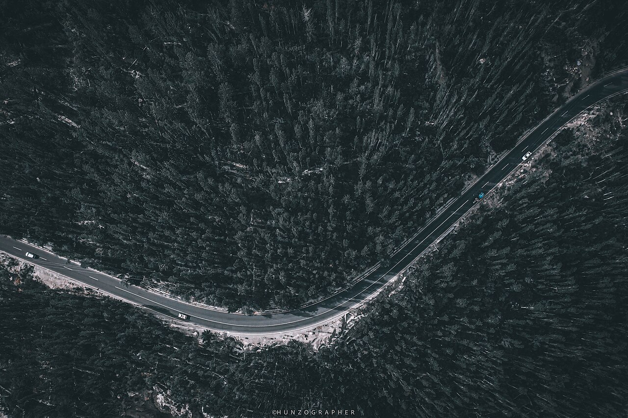
- The checkpoint at Dih, 42 km from the top, and the Marco Polo sheep the park protects.
- Passu
- Down the valley, with the cones everybody photographs.
- Attabad Lake
- Further down again, with the tunnels, on the way up from Hunza.

When to go, and when not to
Late April to early October, with May to September the reliable part. The road is open, the weather at the top is survivable and Sost is working.
Winter closes it to everything from the end of December. Altitude sickness is the real risk even in season: 4,693 metres reached in a day from Hunza is a fast ascent, and the sensible thing is not to linger at the top.
Where this comes from
- Khunjerab Pass — Wikipedia — The 4,693-metre height, the Wakhi etymology, the 1966 decision and the 1982 completion, the distances to Dih, Sost, Gilgit, Islamabad, Tashkurgan, Kashgar and Urumqi, and the winter closure dates. Written from it, not copied; Wikipedia is CC BY-SA 4.0.
- MET Norway — The live forecast and the pass's height, CC BY 4.0.
- OpenStreetMap — Road distances and driving times, via OSRM.