
Malam Jabba
Swat Valley, Khyber Pakhtunkhwa
On video
Malam Jabba Swat — Chair Lift, Zip Line and Road Condition by sir kamran vlog on YouTube. Not ours, and not an endorsement — it is the clearest look at the drive and the valley we could find.
Malam Jabba is one of two ski resorts in Pakistan, on a ridge above the Swat valley with its ski slope topping out at 2,804 metres. It was burned to the ground by the Taliban in 2008 and rebuilt; the chairlift that runs there now was inaugurated in 2016.
Weather at Malam Jabba
Up at 2,598 m: 9.7°C there now, clear. Over the next 24 hours 3°C to 14.1°C.
This is the weather at Malam Jabba, not a road report — whether the road is open depends on ploughing, landslides and local decisions no forecast knows about, so check before you set off. Forecast from MET Norway, CC BY 4.0.
What it costs to drive there
| From | Distance | Driving | Petrol |
|---|---|---|---|
| Islamabad | 277 km | 3.6 h | Rs 7,500 |
| Rawalpindi | 273 km | 3.6 h | Rs 7,400 |
| Lahore | 598 km | 7.2 h | Rs 16,200 |
| Karachi | 1648 km | 19.5 h | Rs 44,600 |
| Peshawar | 209 km | 3 h | Rs 5,700 |
| Multan | 767 km | 9.5 h | Rs 20,800 |
A car doing 12 km/l at today’s Rs 325.00/litre. Open a row to work it out for your own car, your own speed and with the air conditioning on — or see every distance from Malam Jabba.
What it is
A hill station and ski resort in the Hindu Kush, about 40 kilometres from Saidu Sharif in Swat and 314 kilometres from Islamabad. The other ski resort in the country is at Naltar in Gilgit-Baltistan.
The resort belongs to the Pakistan Tourism Development Corporation. Its ski slope runs over 800 metres and the top of it is at 2,804 metres. It was built with Austrian help, and came with ice and roller rinks, chairlifts, skiing platforms and snow-clearing equipment.
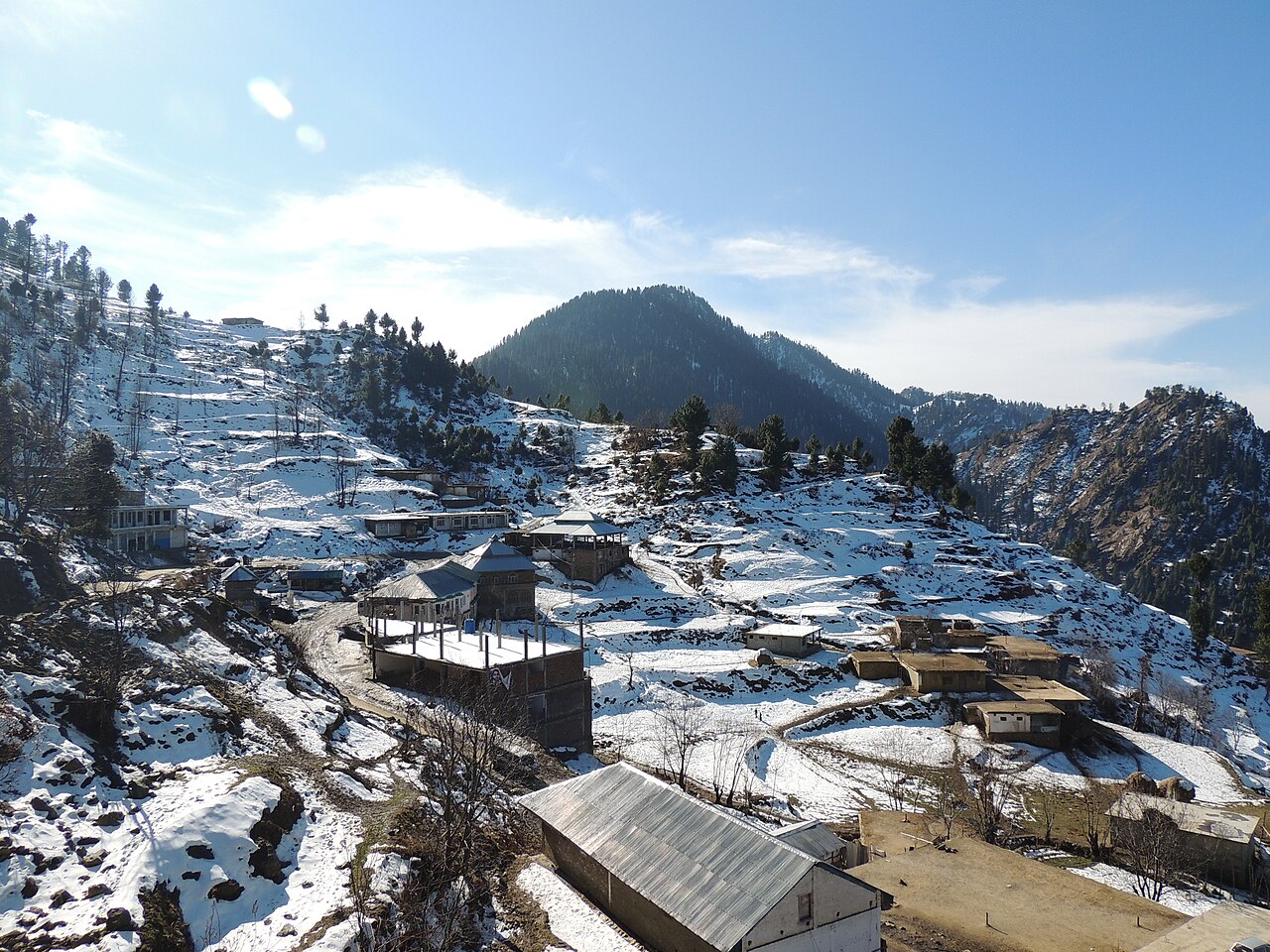
The road up
The turning is at Manglor, about 12 kilometres from Saidu Sharif on the main Madyan–Kalam road, where the route veers off into the Malam Jabba dara. From there it climbs through a string of villages — Salanda, Jehanabad, Talegraam, Badar, Ser, Malam, Kishora, Spine Oba — before reaching Jabba at the head of the gorge.
Malam village is roughly 17 kilometres from Manglor, Kishora another 18 beyond it, and Jabba 12 further up. It is a metalled climb, but it is a climb.
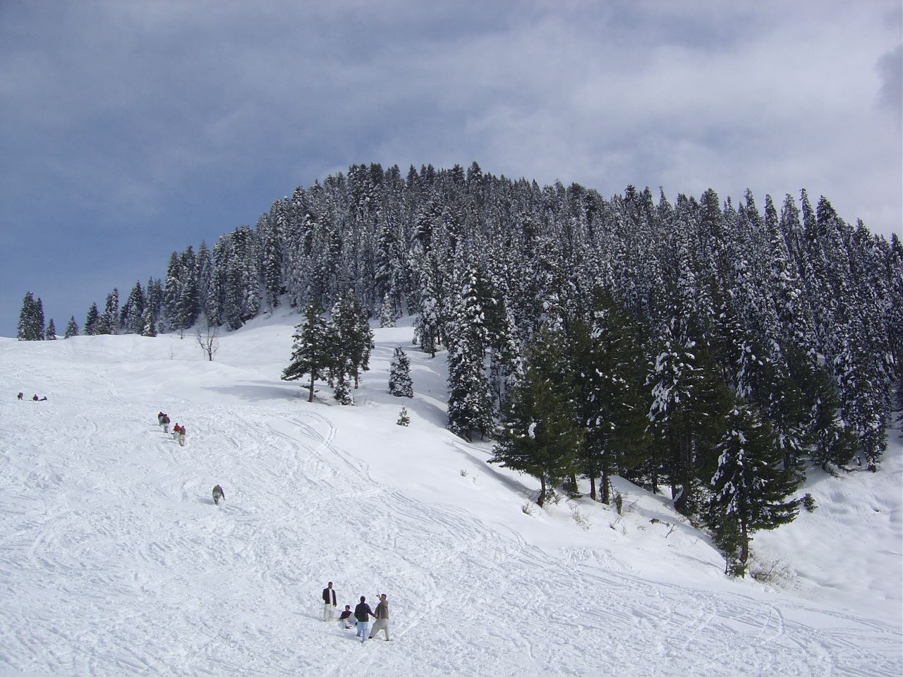
2008, and what came after
In June 2008, during the fighting in north-west Pakistan, Taliban militants destroyed the resort. The hotel, several houses and the chairlift were burned.
After the government retook the area the Khyber Pakhtunkhwa provincial government awarded the rebuilding to a private company. The hotel and the ski resort were restored, a new 800-metre chairlift was inaugurated in September 2016, and a 76-room Pearl-Continental hotel opened in 2020.
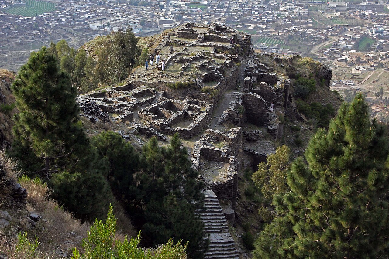
What there is to see
- The ski slope
- Over 800 metres, topping out at 2,804 metres. The only one in the country besides Naltar.
- The chairlift
- Rebuilt and inaugurated in September 2016, on the site of the one burned in 2008.
- Udegram
- On the road up from Mingora, with Raja Gira's castle and the Ghaznavid mosque.
- Saidu Sharif
- About 40 km away, with the museum and the Buddhist sites of lower Swat.
- Swat valley
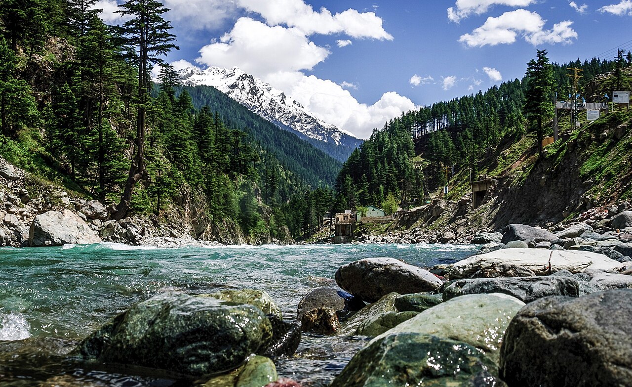
- The whole drive in, along the river from Mingora.
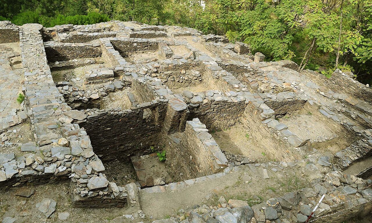
When to go, and when not to
Two seasons, and they want different things. December to February is the snow — skiing, and the chairlift over white ground. June to September is the hill-station summer, cool air and green ridges.
The in-between months are the weakest: too warm for snow, and the ridge is often in cloud. The road up is metalled and manageable, but in heavy snow it needs respect like any other climb in Swat.
Where this comes from
- Malam Jabba — Wikipedia — The 2,804-metre summit, the 800-metre slope, the distances from Saidu Sharif and Islamabad, the route through Manglor and the village distances, the PTDC ownership and Austrian collaboration, the 2008 destruction, and the 2016 chairlift and 2020 hotel. Written from it, not copied; Wikipedia is CC BY-SA 4.0.
- MET Norway — The live forecast and the resort's height, CC BY 4.0.
- OpenStreetMap — Road distances and driving times, via OSRM.