
Naran
Kaghan Valley, Mansehra District, Khyber Pakhtunkhwa
On video
Kaghan Valley Cinematic Showreel 4K by Bilal Akhtar on YouTube. Not ours, and not an endorsement — it is the clearest look at the drive and the valley we could find.
Naran is the town most of the Kaghan valley's traffic is heading for — a bazaar on the Kunhar river at around 2,400 metres, with Lake Saiful Muluk nine kilometres above it and the Babusar Pass another hour beyond. It is a summer place in the strictest sense: the road to it is snowed shut for much of the year, and the pass above it longer still.
Weather at Naran
Up at 2,572 m: -14.7°C there now, clear. Over the next 24 hours -14.8°C to 5.8°C. It goes below freezing.
This is the weather at Naran, not a road report — whether the road is open depends on ploughing, landslides and local decisions no forecast knows about, so check before you set off. Forecast from MET Norway, CC BY 4.0.
What it costs to drive there
| From | Distance | Driving | Petrol |
|---|---|---|---|
| Islamabad | 241 km | 3 h | Rs 6,600 |
| Rawalpindi | 250 km | 3.1 h | Rs 6,800 |
| Lahore | 601 km | 6.8 h | Rs 16,400 |
| Karachi | 1634 km | 20.8 h | Rs 44,700 |
| Peshawar | 335 km | 3.8 h | Rs 9,200 |
| Gilgit | 236 km | 2.9 h | Rs 6,500 |
A car doing 12 km/l at today’s Rs 328.00/litre. Open a row to work it out for your own car, your own speed and with the air conditioning on — or see every distance from Naran.
What it is
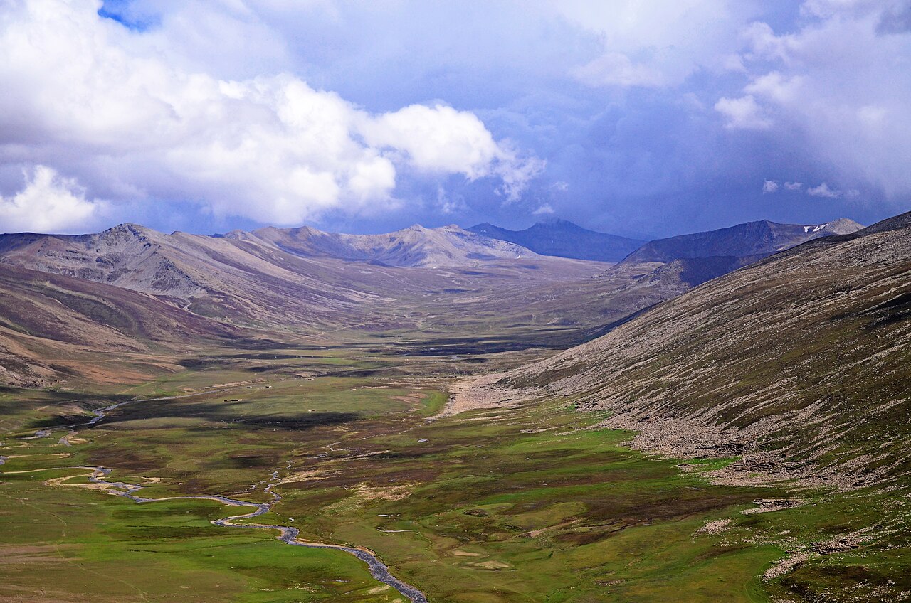
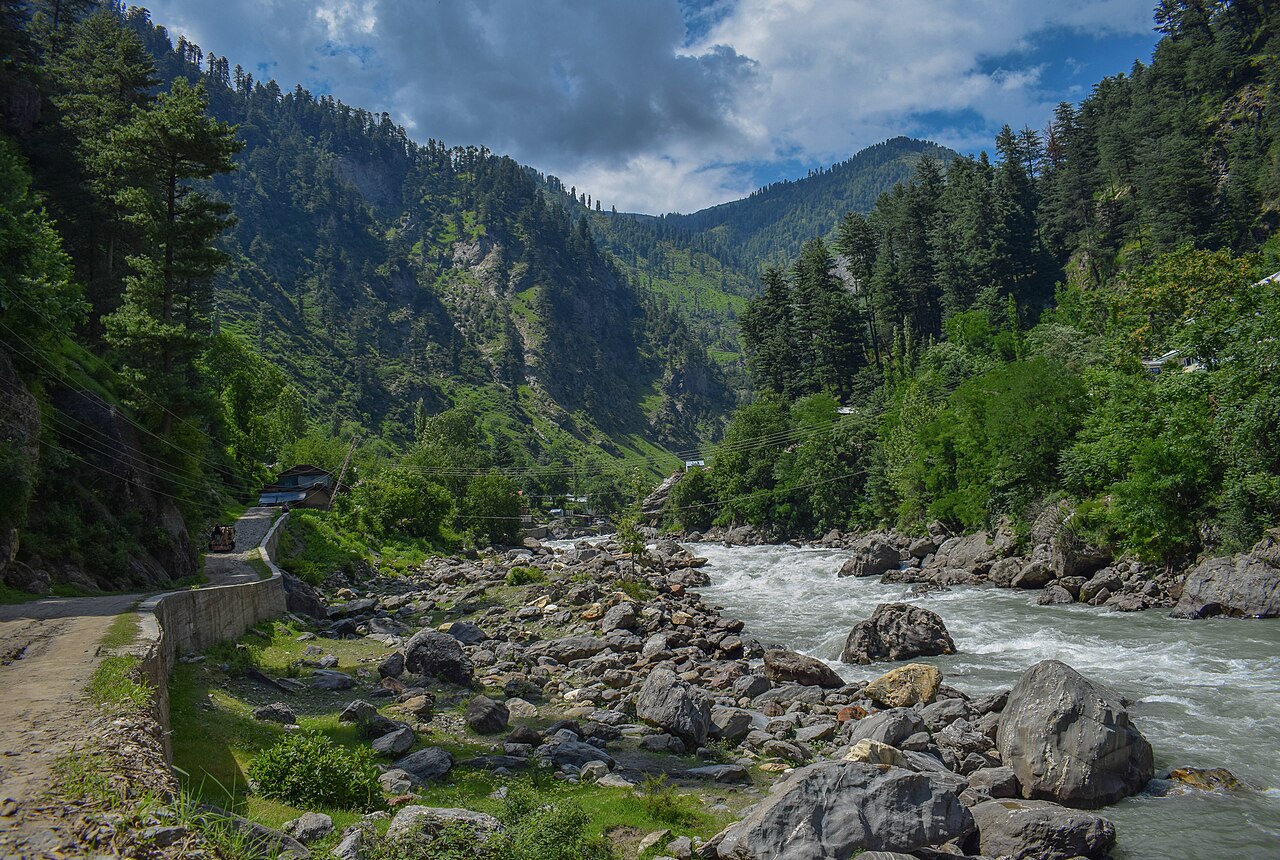
The Kaghan valley runs 155 kilometres along the Kunhar river through Mansehra district, climbing from about 650 metres at its lowest to the Babusar Pass at roughly 4,170. Malika Parbat, the Queen of Mountains and the valley's highest peak, stands at about 5,290 metres.
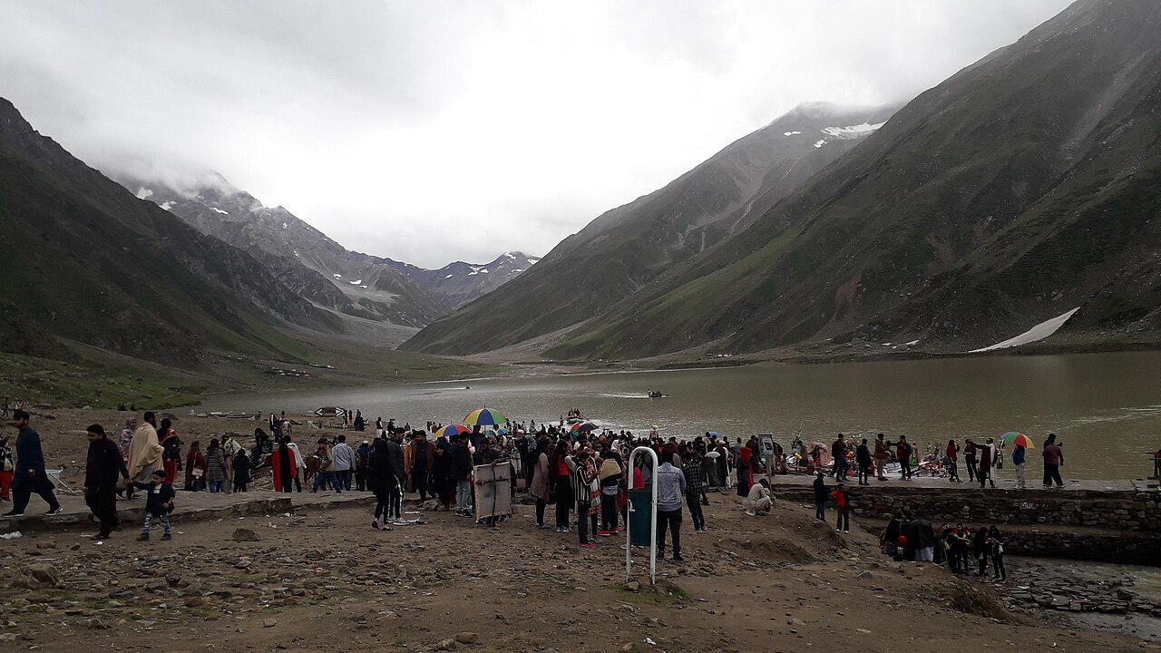
Naran sits well up that climb, and is where almost everyone stops — it has the hotels, the food and the jeeps. Everything famous in the valley is reached from it rather than being in it.
Saiful Muluk
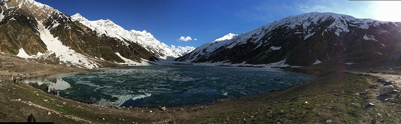
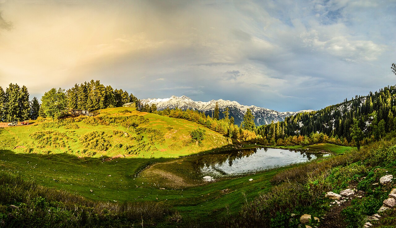
The lake is about nine kilometres north of Naran, at 3,224 metres — above the tree line, and one of the highest lakes in Pakistan. It is named after a prince from a folk tale, which the Sufi poet Mian Muhammad Bakhsh later put into verse.
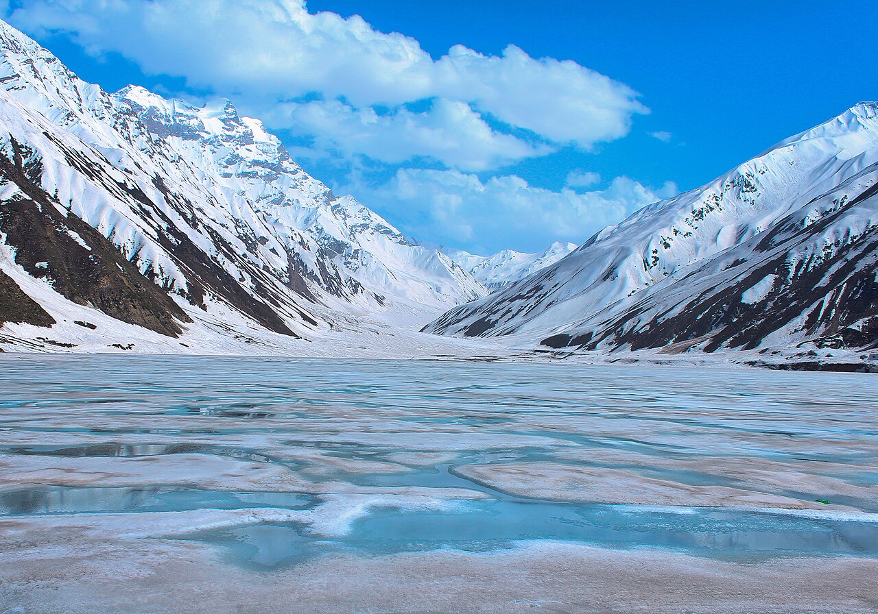
It is reachable from Naran in summer. In winter snowfall and landslides cut it off, which is why almost every photograph of it was taken between June and September.
Babusar, and what the road does to brakes
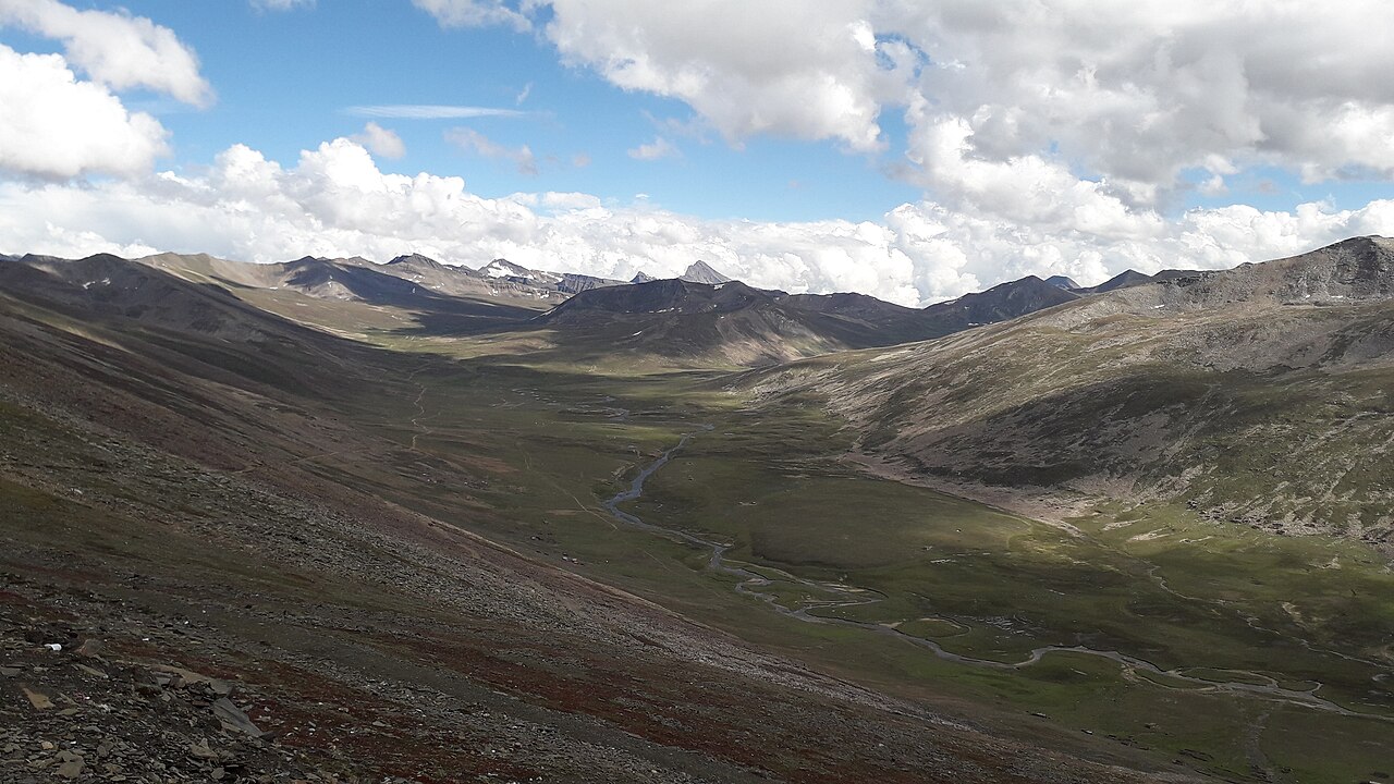
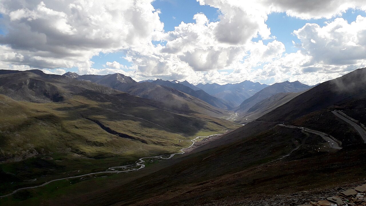
The Babusar Pass closes the top of the valley at 4,173 metres and drops down the other side to Chilas on the Karakoram Highway. It is the highest point in Kaghan a car can reasonably reach.
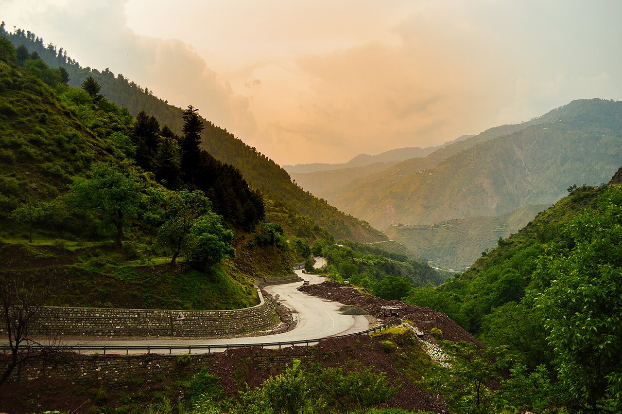
It is also, in the plain words of the record, one of the most dangerous routes in Pakistan: casualties are reported from it every year, and the commonest cause is brake failure on the descent, through inexperience with that kind of gradient. If you are driving it, the gearbox does the braking on the way down, not the pedal.
The 2005 Kashmir earthquake brought down landslides that destroyed several of the passes into this valley. The roads were rebuilt, but it is that sort of country.
What there is to see
- Lake Saiful Muluk
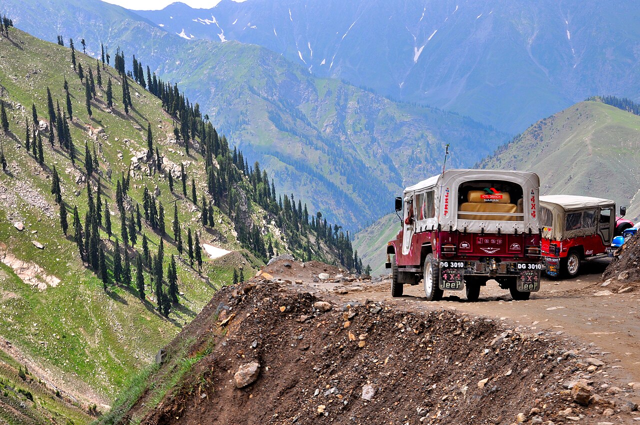
- Nine kilometres up from Naran at 3,224 metres, above the tree line, with Malika Parbat behind it. Jeeps run up from the bazaar; the track is rough.
- Lulusar Lake
- On the road towards Babusar, straight off the tarmac — no walk required, which is rare up here.
- Dudipatsar
- A full day's walk from Besal, and the one in the valley that people come back talking about.
- Lalazar and Siri Paye
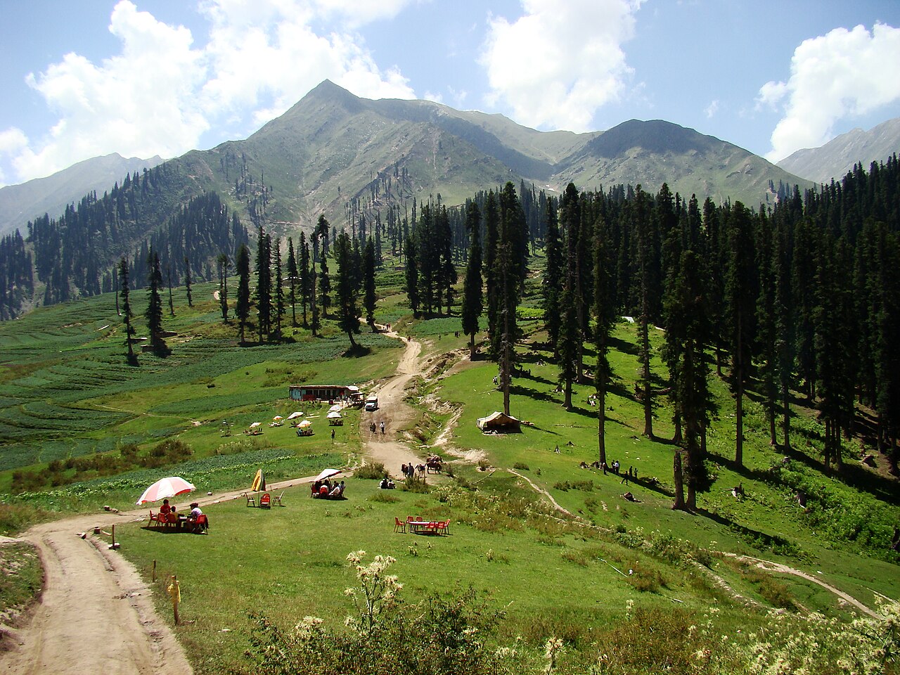
- High meadows above the valley floor, reached by jeep track rather than car.
- Babusar Top
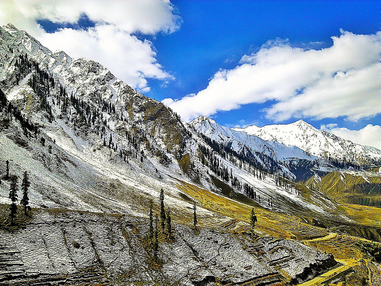
- 4,173 metres, the view back down Kaghan and forward to the Karakoram. Open in summer only.
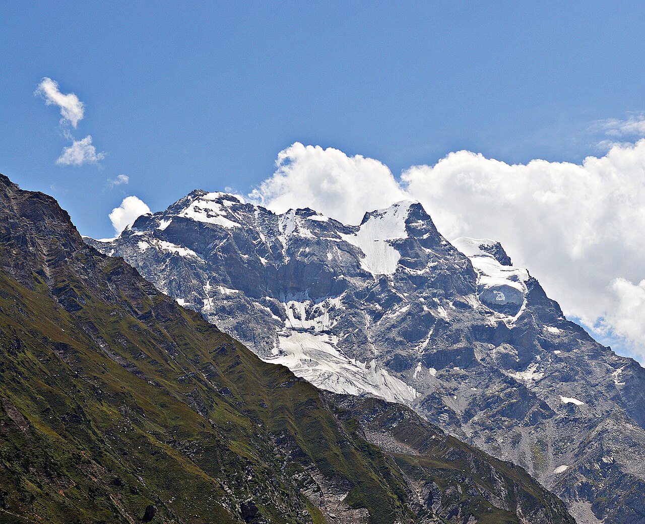
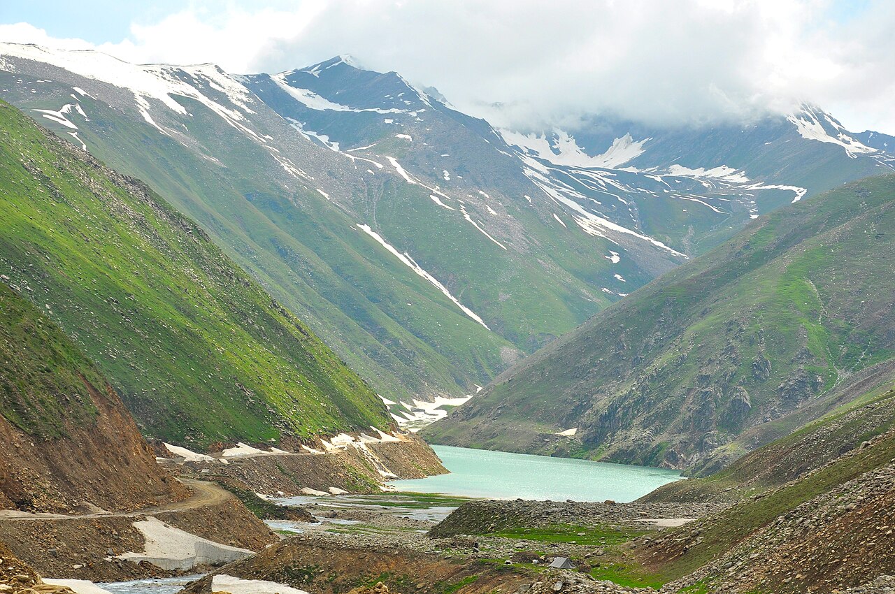
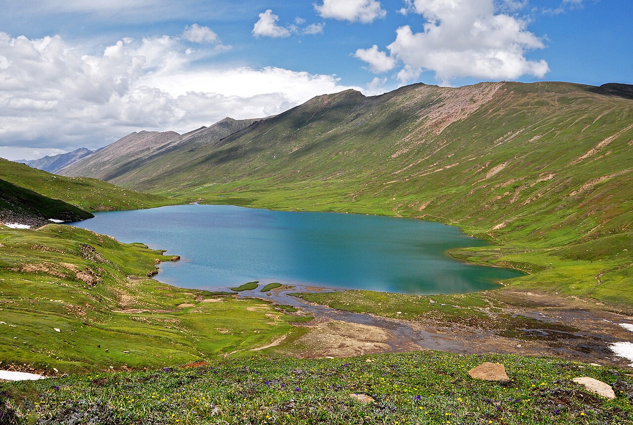
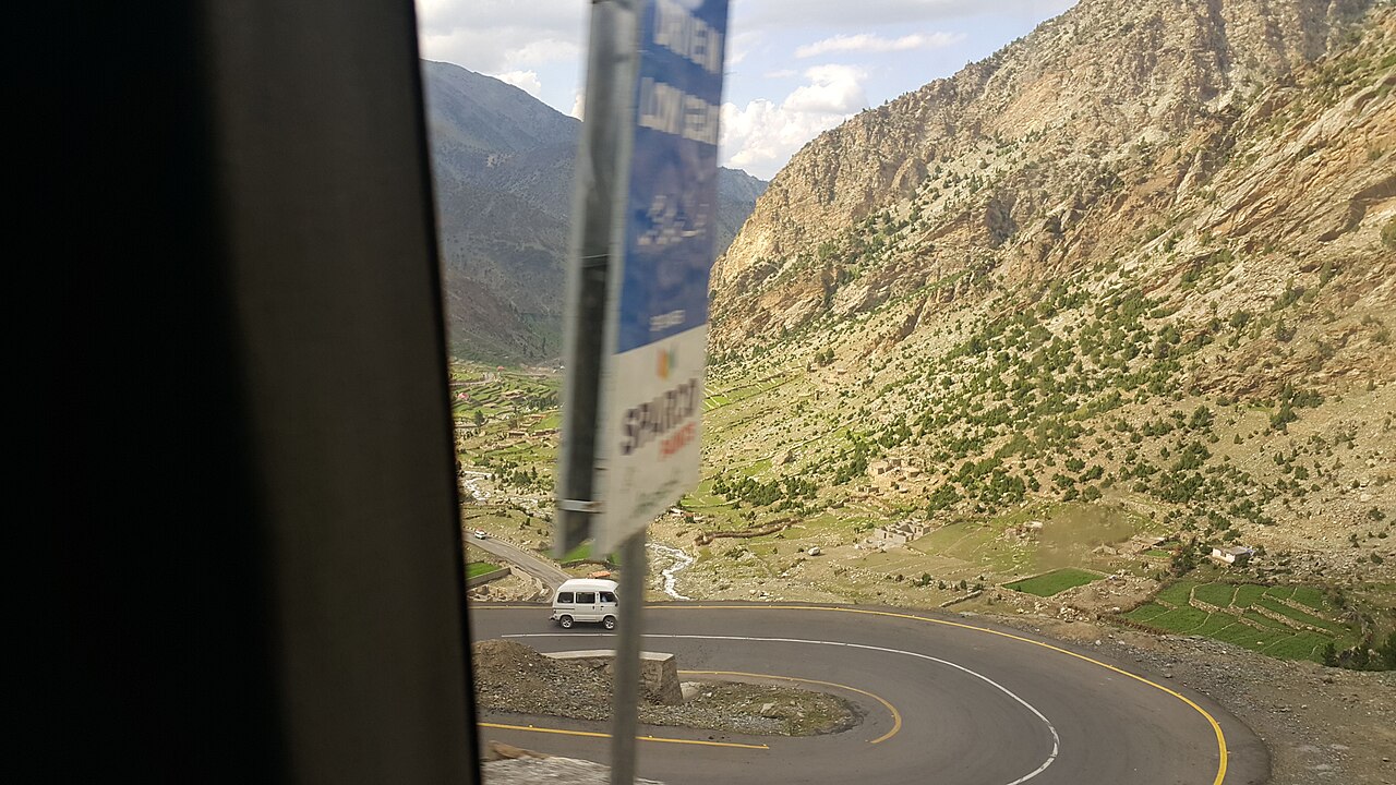
When to go, and when not to
May to September, and that is not a preference. The valley's summer maximum is around 11°C in May; outside the season the upper valley and the pass are shut by snow, and so is the lake road.
Babusar generally opens later than Naran itself and closes earlier. If the plan is to cross to Chilas, check that the pass is open before committing to the drive — and remember that this page reports weather, not the state of a road.
Where this comes from
- Kaghan Valley — Wikipedia — The valley's length and heights, Malika Parbat, and the 2005 earthquake landslides. Written from it, not copied; Wikipedia is CC BY-SA 4.0.
- Lake Saiful Muluk — Wikipedia — The lake's elevation, its distance from Naran, the folk tale and the winter closure.
- Babusar Pass — Wikipedia — The pass height, and the record on accidents and brake failure.
- OpenStreetMap — Road distances and driving times, via OSRM — and the coordinate for Naran itself, which took an Overpass query to find.