
Nathia Gali
Abbottabad District, Khyber Pakhtunkhwa
On video
The Ultimate Galiyat Road Trip: Nathia Gali to Khanaspur by Roads & Clouds on YouTube. Not ours, and not an endorsement — it is the clearest look at the drive and the valley we could find.
Nathia Gali is Murree's quieter neighbour — an hour along the ridge, four hundred metres higher, and in much thicker forest. It was the British summer headquarters for the Peshawar division, and it is still the Galyat town people choose when they want the hills without the crowd.
Weather at Nathia Gali
Up at 2,134 m: 14°C there now, clear. Over the next 24 hours 5.2°C to 14.5°C.
This is the weather at Nathia Gali, not a road report — whether the road is open depends on ploughing, landslides and local decisions no forecast knows about, so check before you set off. Forecast from MET Norway, CC BY 4.0.
What it costs to drive there
| From | Distance | Driving | Petrol |
|---|---|---|---|
| Islamabad | 80 km | 1.2 h | Rs 2,200 |
| Rawalpindi | 91 km | 1.3 h | Rs 2,500 |
| Lahore | 447 km | 5.3 h | Rs 12,200 |
| Karachi | 1498 km | 17.7 h | Rs 40,900 |
| Peshawar | 221 km | 2.8 h | Rs 6,000 |
| Multan | 592 km | 8.6 h | Rs 16,200 |
A car doing 12 km/l at today’s Rs 328.00/litre. Open a row to work it out for your own car, your own speed and with the air conditioning on — or see every distance from Nathia Gali.
What it is
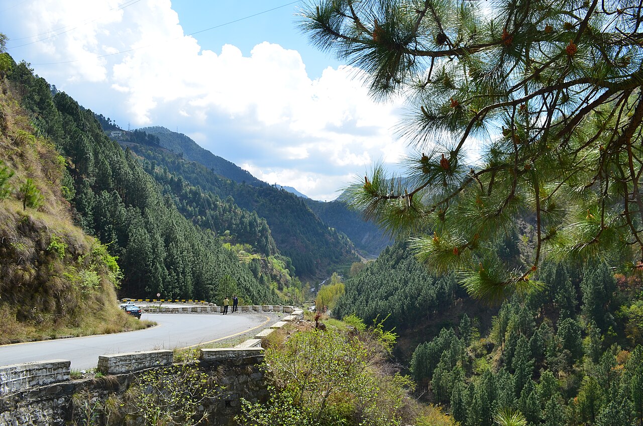
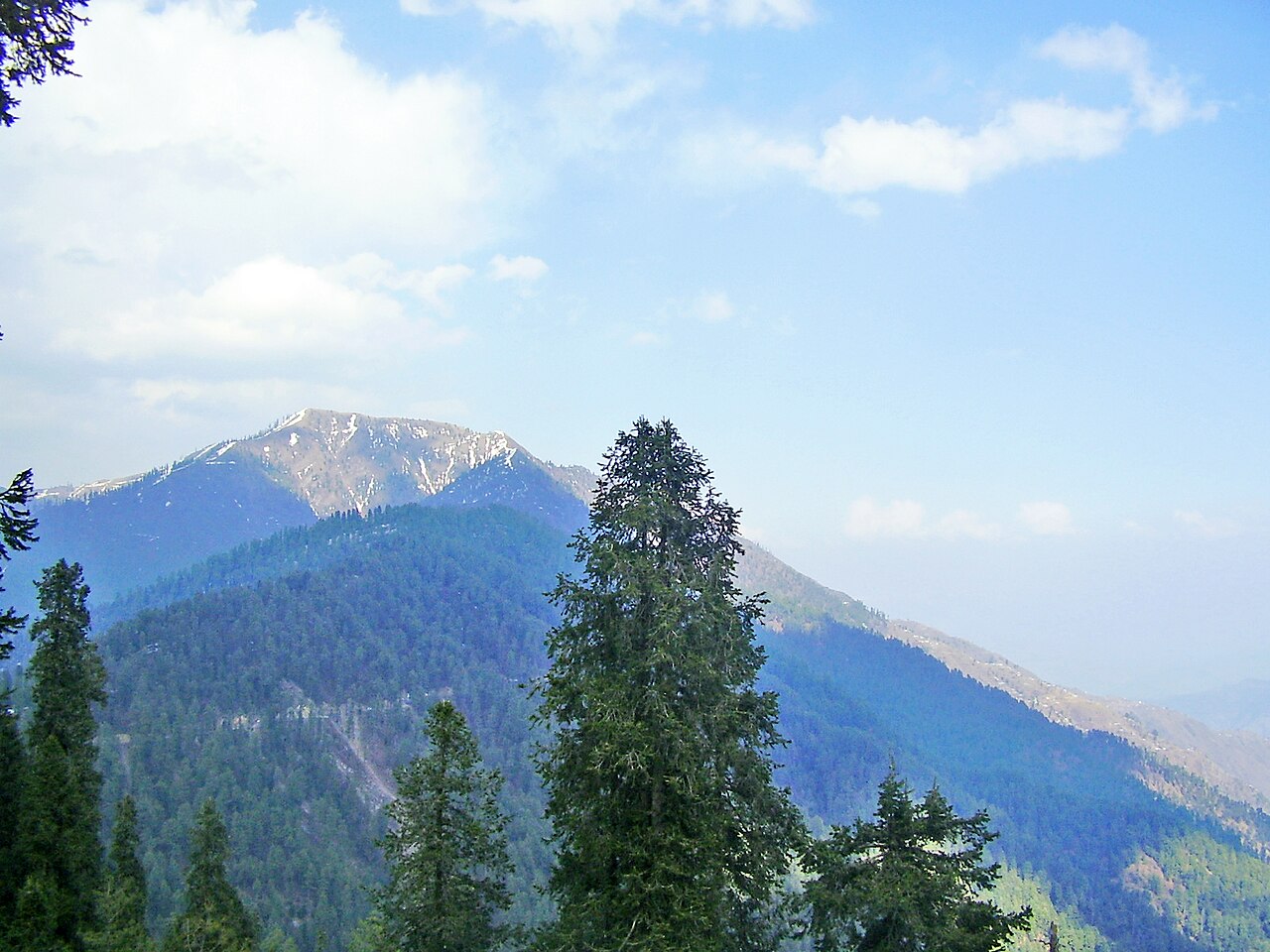
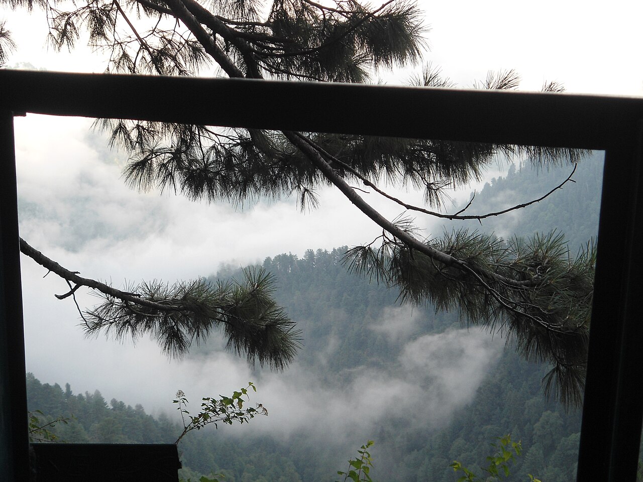
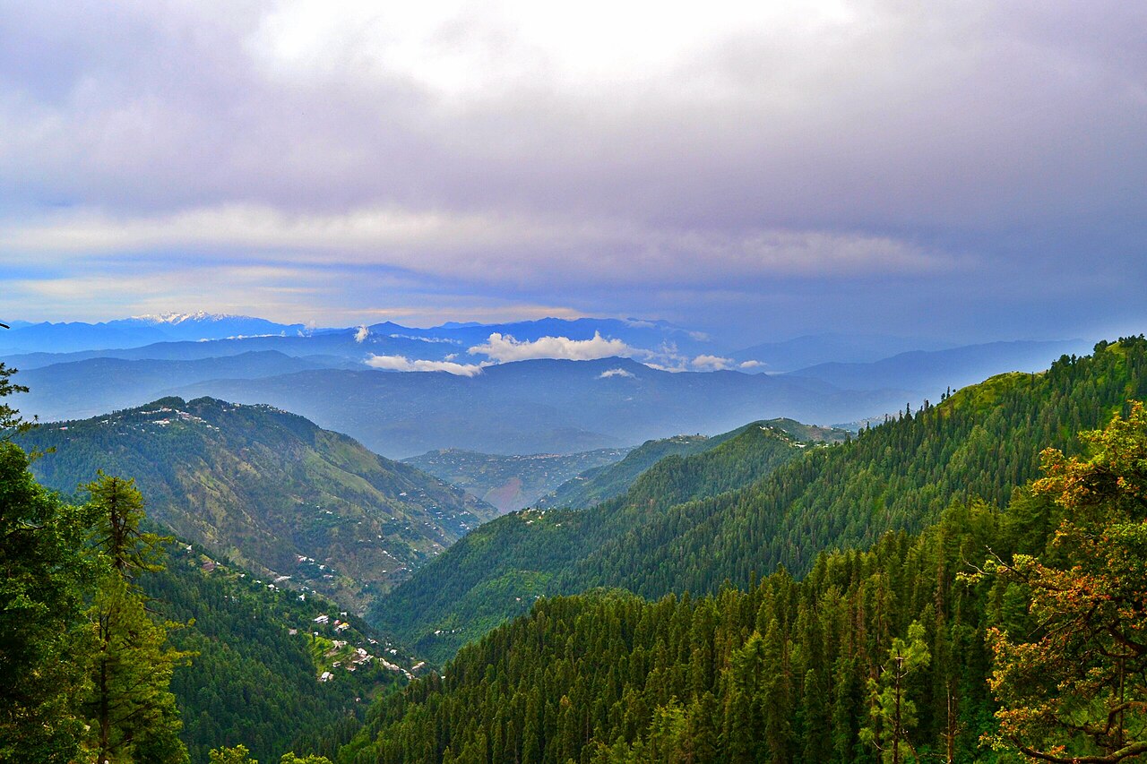
A hill station at about 2,410 metres in the middle of the Galyat, the belt of ridge-top towns between Murree and Abbottabad. It is forested with pine, cedar, oak and walnut, and it is small — limited land and limited property, which is precisely why it never filled up the way Murree did, despite having more to do.
Abbottabad is about 32 kilometres away. Murree is an hour along the same ridge road.

A colonial summer headquarters
Under British rule Nathia Gali was part of Abbottabad tehsil in Hazara District and served as the summer headquarters of the Chief Commissioner of the Peshawar division of the Punjab. It and Dunga Gali together formed a notified area under the Punjab Municipalities Act of 1891.
The municipal accounts survive for 1903–04: income Rs 3,000, chiefly a house tax, against expenditure of Rs 1,900. St Matthew's church dates from the same period and is still standing.

The road, and what lives beside it
The town is reached by the Nathia Gali road from Abbottabad and from Murree, with daily public transport from Abbottabad and Rawalpindi. Between December and January heavy snow can block it.
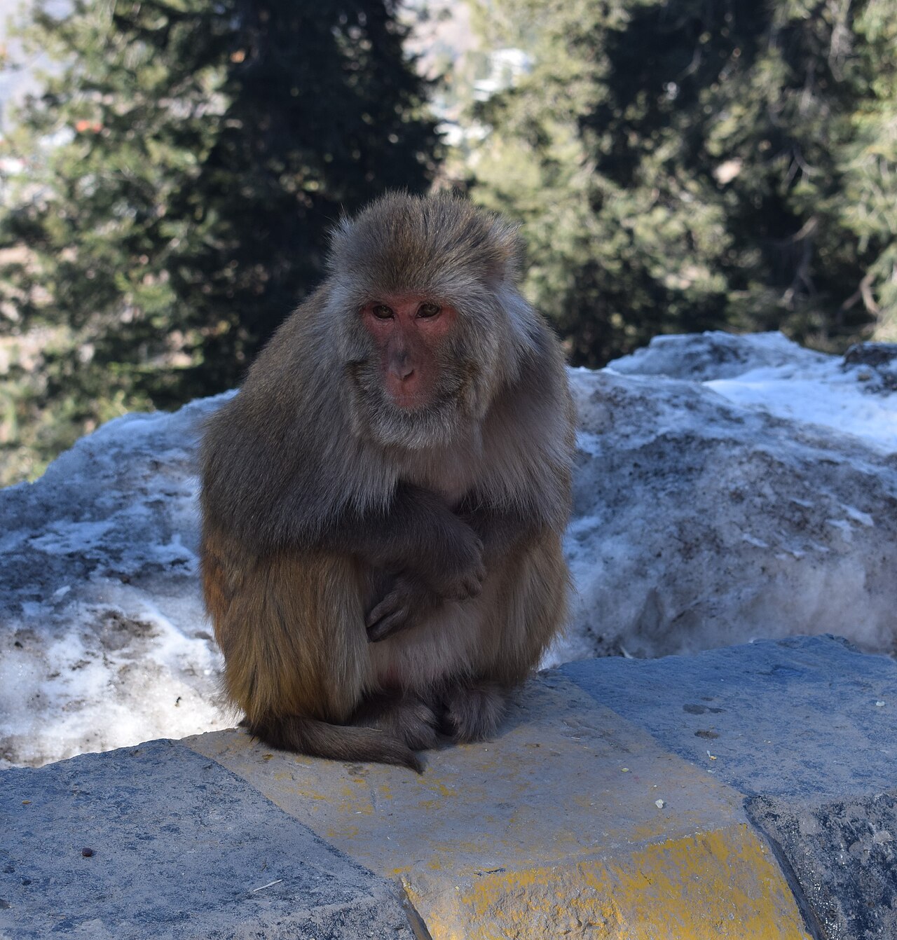
Rhesus monkeys sit on the crash barriers along that road in numbers, and are the first thing most visitors photograph. The forest also holds the common hill leopard — the WWF has an office in the Galyat and has worked on reintroducing it in Ayubia National Park, next to Dunga Gali, though local reports say the cats come out after village cattle and are occasionally shot.
What there is to see
- Miranjani
- The walk from Nathia Gali up to 2,992 metres. Three hours or so, and the reason a lot of people come.
- The Pipeline Track
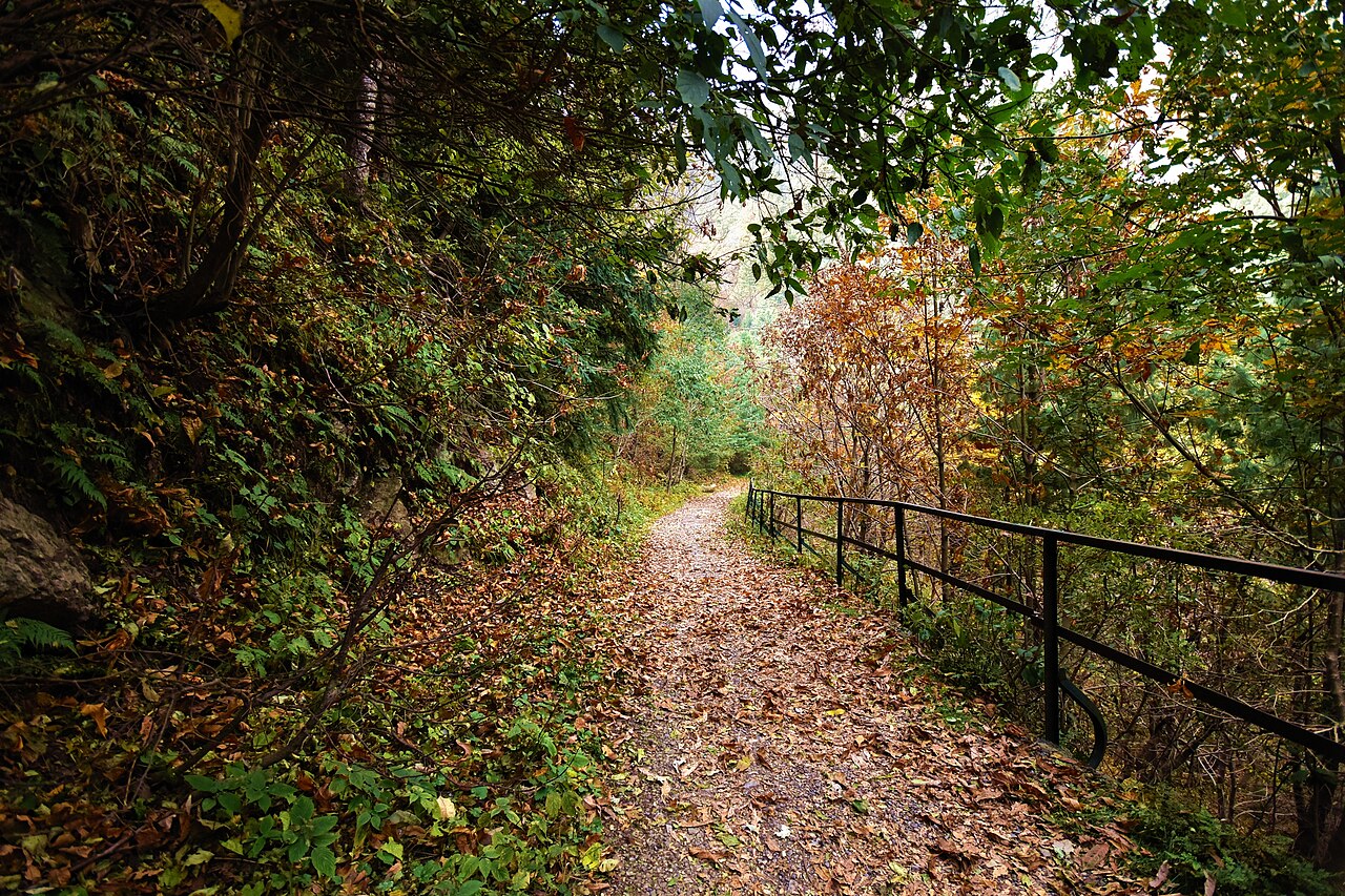
- Flat, shaded and about four kilometres between Dunga Gali and Ayubia, along an old water pipeline. The easiest proper walk in the Galyat.
- St Matthew's Church
- From the colonial town, in the trees above the road.
- Ayubia National Park
- A few kilometres along the ridge, with the chairlift and the leopard habitat.
- Mushkpuri
- The other summit walk from here, a little lower and a little easier than Miranjani.



When to go, and when not to
Summer is cool, pleasant and often foggy — May to August. The monsoon runs from the start of July to mid-September and it rains most days through it, which is worth planning around rather than discovering.
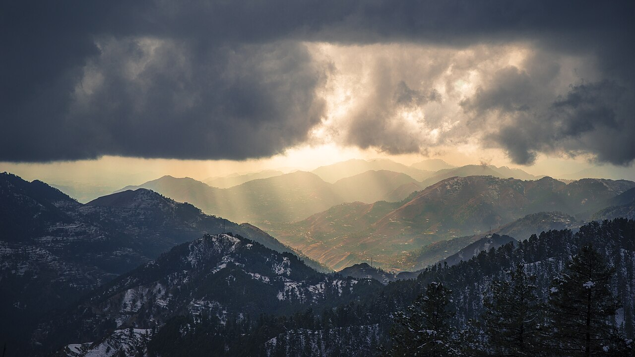
Winter is cold, and in December and January heavy snowfall is likely and the road can be blocked. Spring stays cool and is the most comfortable time to walk.
Where this comes from
- Nathia Gali — Wikipedia — The colonial headquarters and the 1903–04 municipal accounts, the elevation, the climate, the road and the wildlife. Written from it, not copied; Wikipedia is CC BY-SA 4.0.
- MET Norway — The live forecast and the town's height, CC BY 4.0.
- OpenStreetMap — Road distances and driving times, via OSRM.