
Neelum Valley
Neelum District, Azad Kashmir
On video
Traveling Kashmir a Paradise — Neelum Valley Road Trip Pakistan by Tarar Support on YouTube. Not ours, and not an endorsement — it is the clearest look at the drive and the valley we could find.
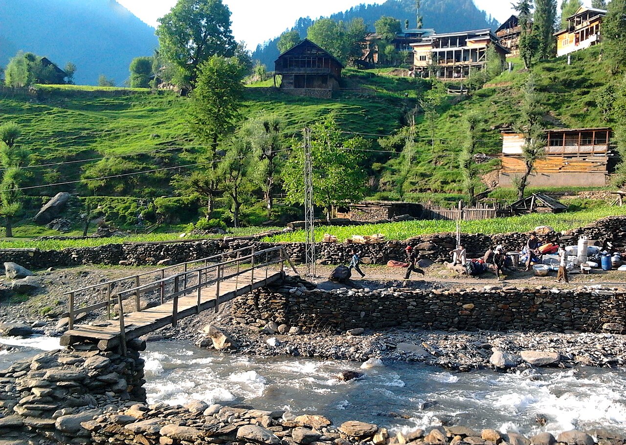
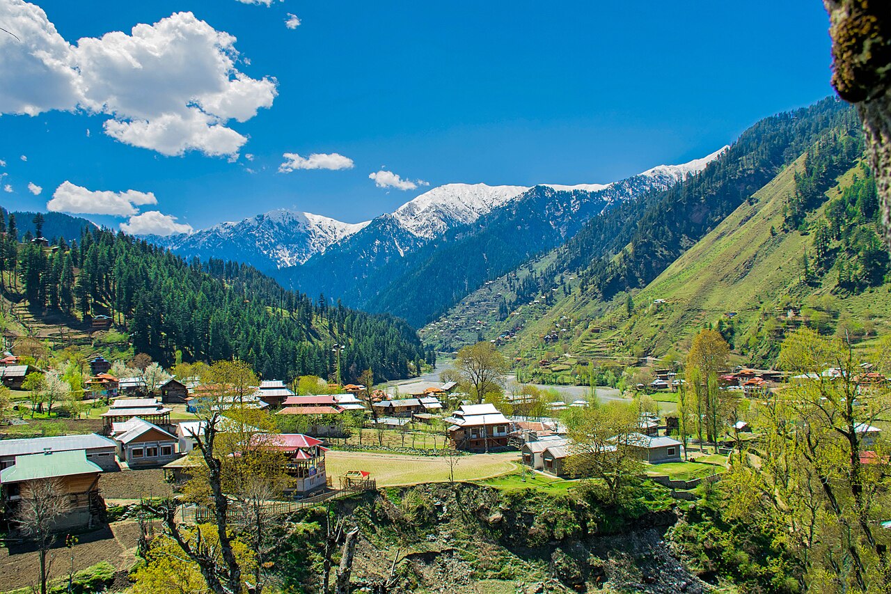
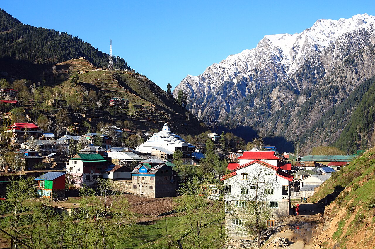
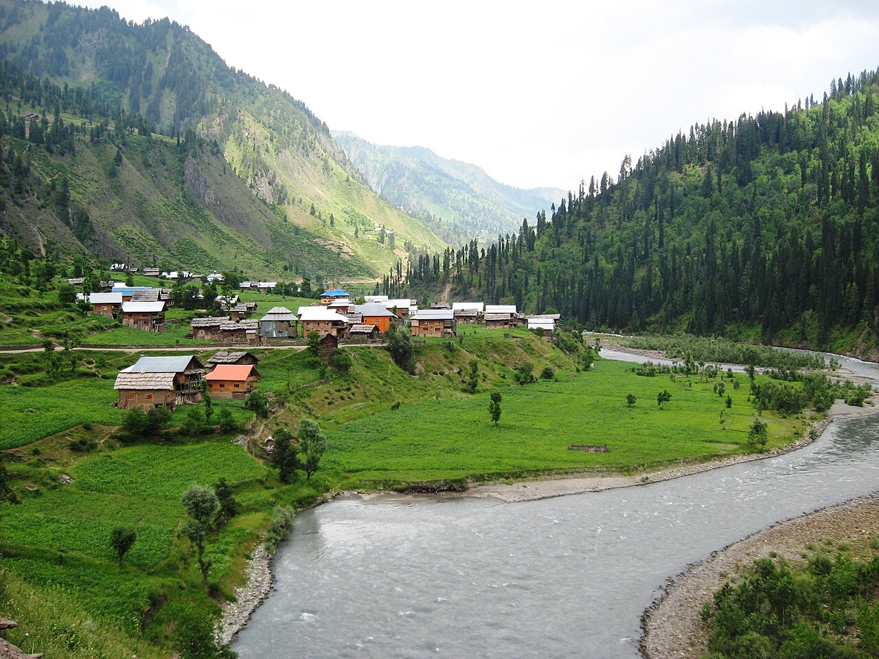
The Neelum valley is a hundred and forty-four kilometres of river, forest and villages running north-east out of Muzaffarabad, with the Line of Control along the far bank for much of it. It is the longest drive in Azad Kashmir and the one most people mean when they say they are going to Kashmir.
How far you can drive: The distances below are to Muzaffarabad, where the valley road starts. The valley itself then runs about 144 kilometres north-east from there — Kel, near the far end, is a further 145 kilometres and close to three hours on the road, and the surface gets worse the higher you go.
What it costs to drive to Muzaffarabad
| From | Distance | Driving | Petrol |
|---|---|---|---|
| Islamabad | 126 km | 1.5 h | Rs 3,400 |
| Rawalpindi | 140 km | 1.7 h | Rs 3,800 |
| Lahore | 493 km | 5.7 h | Rs 13,400 |
| Karachi | 1544 km | 18 h | Rs 41,800 |
| Peshawar | 273 km | 3.3 h | Rs 7,400 |
| Multan | 662 km | 8 h | Rs 17,900 |
A car doing 12 km/l at today’s Rs 325.00/litre. Open a row to work it out for your own car, your own speed and with the air conditioning on — or see every distance from Muzaffarabad.
What it is
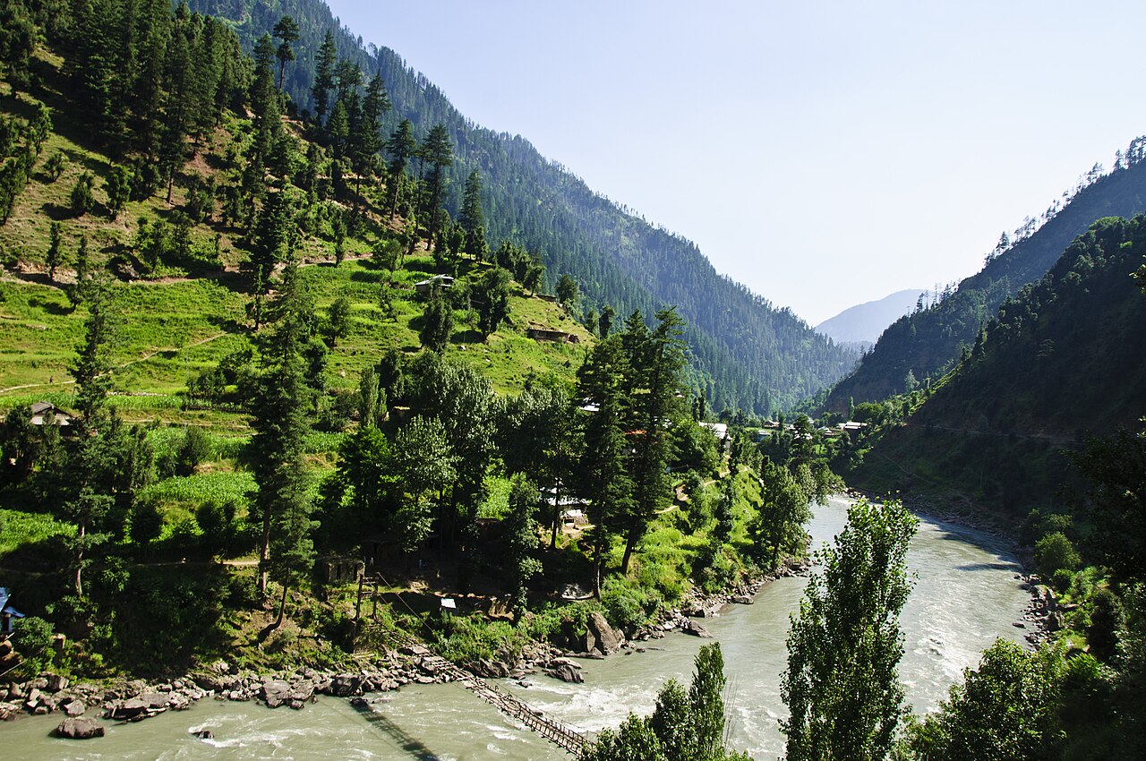
The valley of the Neelum river, which comes out of the Gurez valley on the Indian-administered side, runs west and then south-west, and joins the Jhelum at Muzaffarabad. Before partition the river and the valley were called the Kishanganga; the present name comes from the village of Neelam.
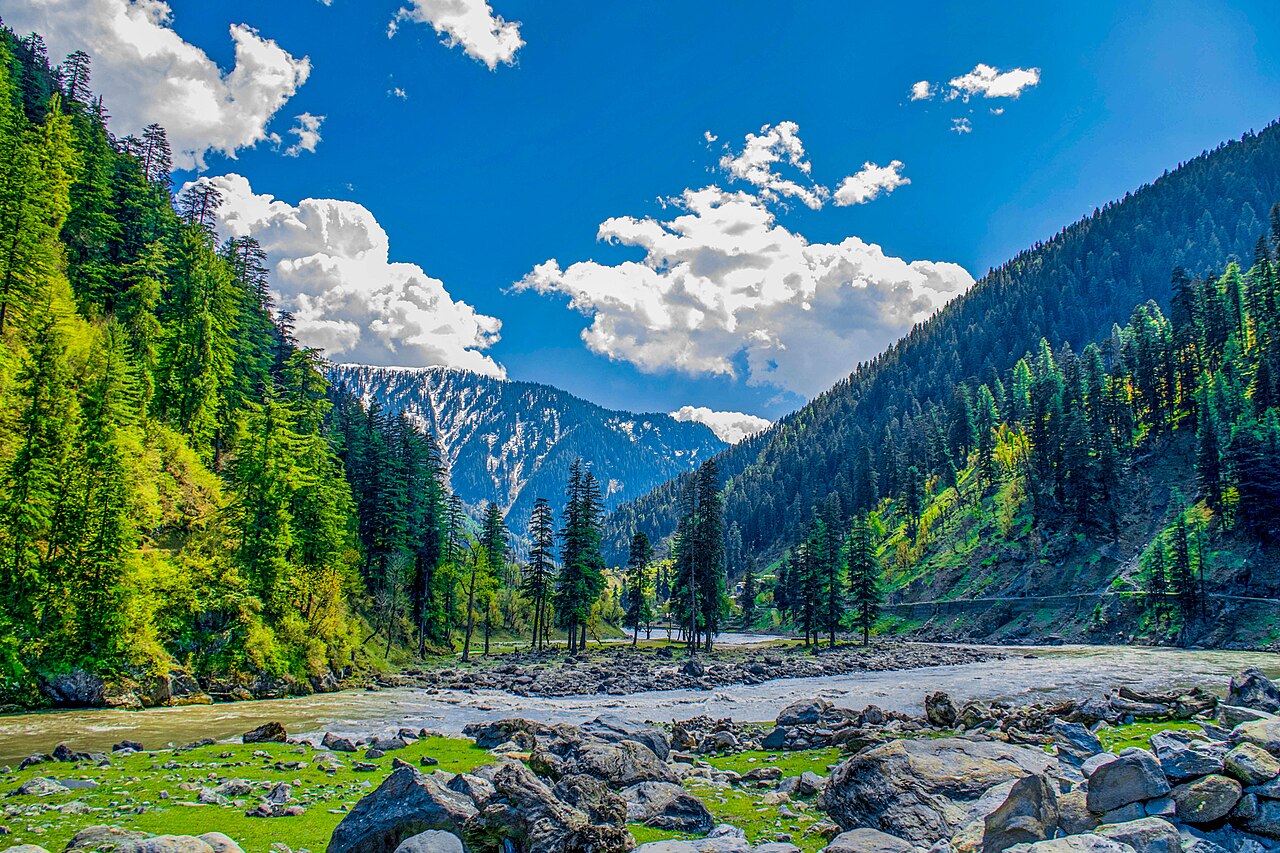
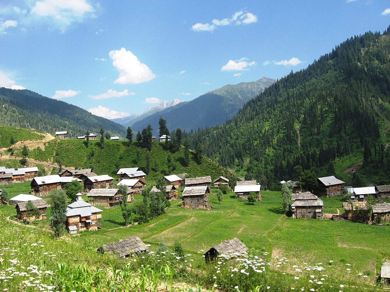
It is thickly wooded, between about 1,200 and 2,300 metres along its floor, with peaks on either side reaching 5,200 metres. Neelum District — the largest district of Azad Kashmir by area — takes up most of it, and had about 191,233 people at the 2017 census.
The border runs through it
The Line of Control runs along the valley: in places across the mountains to the south-east, in other places directly along the river, with villages on the left bank falling on the Indian side. You can stand on the road and look at houses you cannot visit.
That is not a detail to romanticise. It shapes where the road goes, where you may stop, and which stretches are sensitive, and it is worth knowing before setting off rather than at a checkpost.
The towns, in the order you reach them
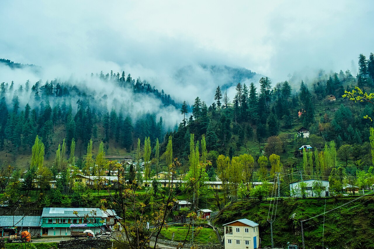
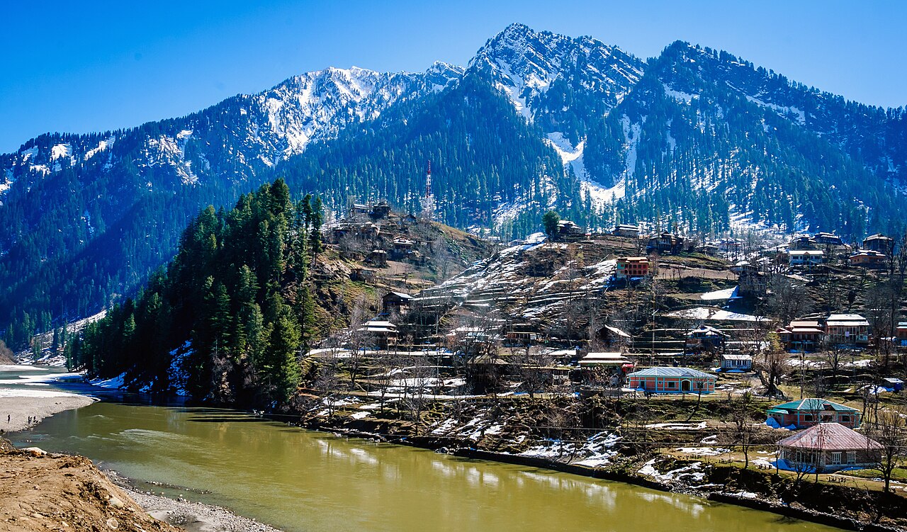
Kutton comes first among the side valleys, then Keran and Dowarian on the river. Athmuqam is the district headquarters; Sharda, with the ruins of its temple university, is roughly the halfway point at 1,981 metres. Kel is where the metalled road gives out, and Taobat is the last village before the border.
The district is made up of two tehsils, Athmuqam and Sharda. It is a poor area living mostly on subsistence farming and handicrafts, with tourism a recent and growing part of it — and it was among the worst-hit places in the 2005 Kashmir earthquake, which is still visible in what has been rebuilt.
What you are driving matters
As far as Athmuqam the road is ordinary and an ordinary car is fine. Above it the surface deteriorates, and the side tracks — to Ratti Gali from Dowarian, to Arang Kel from Kel, up the Shounter valley — are jeep country rather than bad tarmac.
Hindko is the language of the valley, usually called Parmi here, and is spoken across the Pahari, Kashmiri and Gujjar communities who live in it.
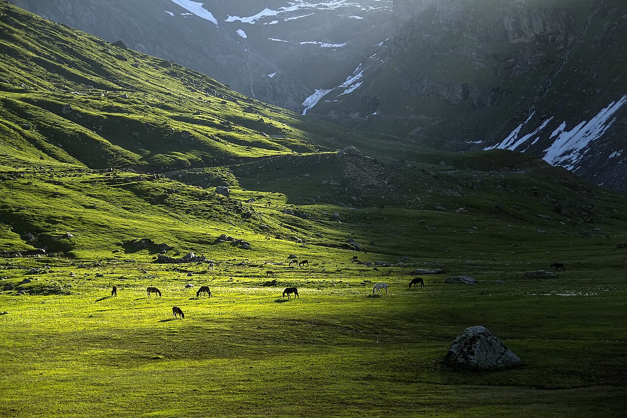
What there is to see
- Sharda
- Halfway up, at 1,981 metres, with the ruins of Sharada Peeth above the river.
- Kel
- Where the metalled road ends, about 145 km and nearly three hours from Muzaffarabad.
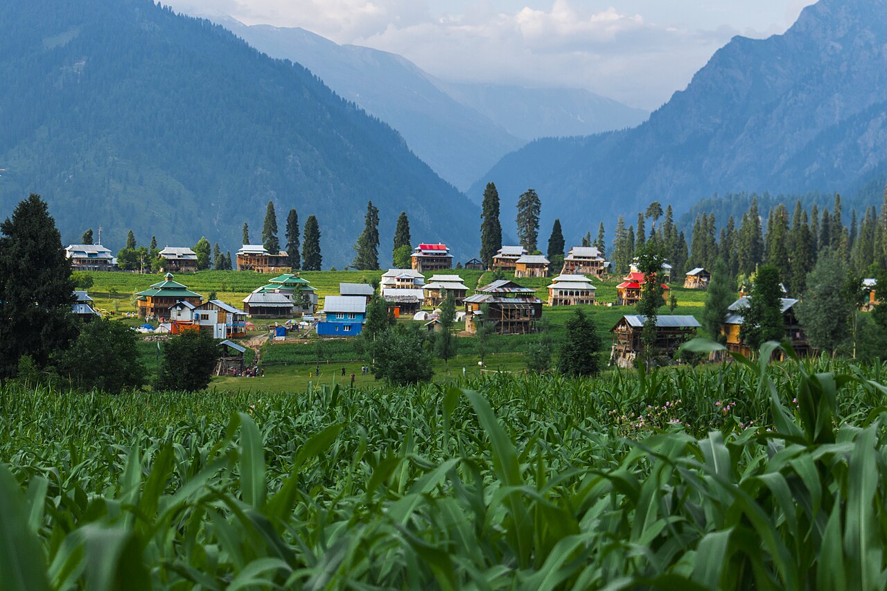
- Arang Kel
- The village on the shelf above Kel at 2,554 metres. No road — a chairlift or an hour's climb.
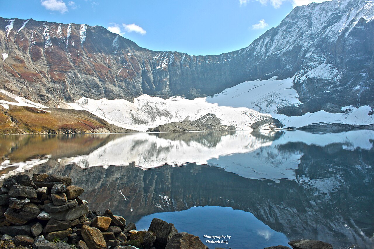
- Ratti Gali Lake
- A glacial lake at 3,683 metres, roughly nineteen kilometres of jeep track above Dowarian.
- Taobat
- The last village in the valley, beyond which is the Line of Control.
- Kutton and Keran
- The first of the side valleys and the riverside villages, early in the drive.
When to go, and when not to
May to September is the valley's season, and the upper half of it is only properly open in that window. The side tracks to the lakes open later than the main road does.
Winter closes the top of the valley. Lower down the road stays usable but the weather is severe, and snow and landslides both shut stretches of it without notice.
Where this comes from
- Neelum District — Wikipedia — The 144-kilometre length, the elevations, the river's course and old name, the Line of Control, the 2017 population, the two tehsils, the languages and the 2005 earthquake. Written from it, not copied; Wikipedia is CC BY-SA 4.0.
- Sharda Tehsil — Wikipedia — Sharda's height on the river.
- Ratti Gali Lake — Wikipedia — The lake's height and the jeep track from Dowarian.
- Arang Kel — Wikipedia — The village's height above Kel.
- MET Norway — The live forecast and the town's height, CC BY 4.0.
- OpenStreetMap — Road distances and driving times, via OSRM, including the Muzaffarabad–Kel figure.