
Phander
Ghizer District, Gilgit-Baltistan
On video
Road Trip to Phandar Valley — Ghizer, Gilgit-Baltistan by HODOPHILE on YouTube. Not ours, and not an endorsement — it is the clearest look at the drive and the valley we could find.
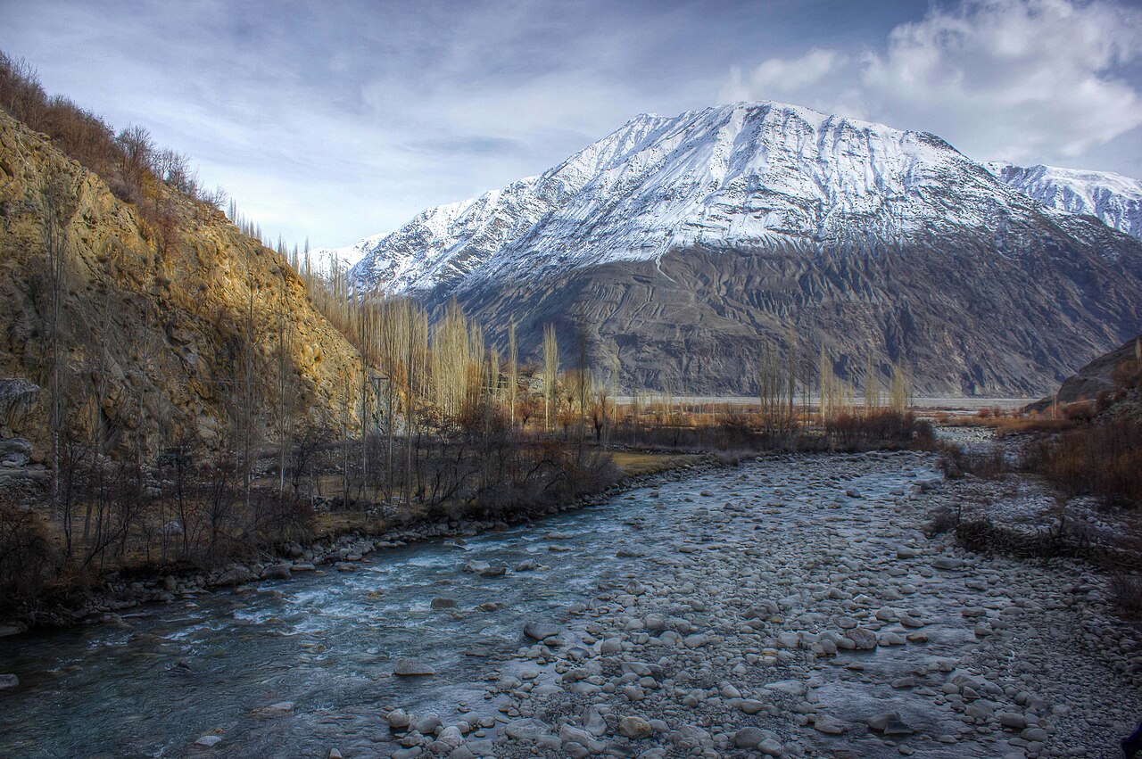
Phander is a village and a valley in Ghizer, 184 kilometres west of Gilgit on the road to Shandur and Chitral. It has four lakes, and it is one of the few places where the Gilgit river comes apart into several strands and then puts itself back together.
How far you can drive: The distances below are to Gilgit. Phander is 184 kilometres further west on the road towards Shandur, which is five to six hours rather than the two the mileage suggests. Past Phander the same road climbs to Shandur Top at about 3,700 metres and drops into Chitral — a summer-only crossing.
Weather at Gilgit
Up at 1,463 m: 8.7°C there now, clear. Over the next 24 hours 5.1°C to 17.2°C.
This is the weather at Gilgit, not a road report — whether the road is open depends on ploughing, landslides and local decisions no forecast knows about, so check before you set off. Forecast from MET Norway, CC BY 4.0.
What it costs to drive to Gilgit
| From | Distance | Driving | Petrol |
|---|---|---|---|
| Islamabad | 581 km | 7.2 h | Rs 15,900 |
| Rawalpindi | 579 km | 7.3 h | Rs 15,800 |
| Lahore | 855 km | 11 h | Rs 23,400 |
| Karachi | 1980 km | 23.4 h | Rs 54,100 |
| Peshawar | 602 km | 7.8 h | Rs 16,500 |
| Multan | 1100 km | 13.3 h | Rs 30,100 |
A car doing 12 km/l at today’s Rs 328.00/litre. Open a row to work it out for your own car, your own speed and with the air conditioning on — or see every distance from Gilgit.
Distances into Gilgit-Baltistan are the year-round Karakoram Highway route. The shortcut over Babusar Top is roughly a hundred kilometres less, and is open from about mid-July to late September.
What it is
A village and valley in Ghizer District, on the road that runs from Gilgit over the Shandur Pass and down into Chitral. There are four lakes in the valley, of which Phander Lake is the largest.
The thing that makes the valley look the way it does is the river: Phander is one of the few places where the Gilgit river divides into several strands as it enters, and merges again as it leaves.
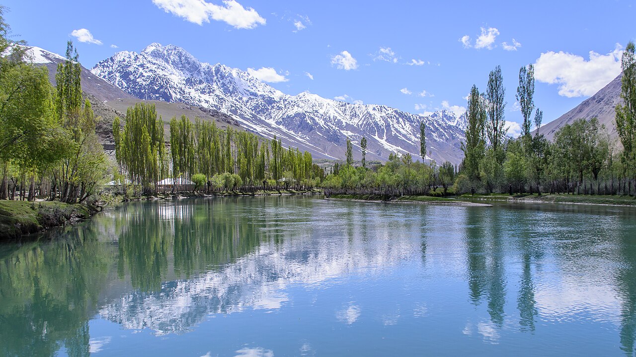
The road it is on
This is the Gilgit–Chitral road, and Phander sits roughly in the middle of the interesting part of it. Five to six hours from Gilgit is the usual figure, which tells you more about the surface than the distance does.
West of Phander the road climbs to Shandur Top at about 3,700 metres — the polo ground up there is the highest in the world and the tournament is held each July. That crossing is a summer road and nothing else.
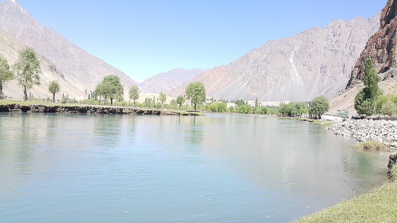
What people come for
The lake, the colour of it, and trout. The valley is known for fishing and most of the guest houses are strung along the water.
It is also, simply, a place to stop. Anyone driving between Gilgit and Chitral is going to spend a night somewhere, and this is the obvious one.
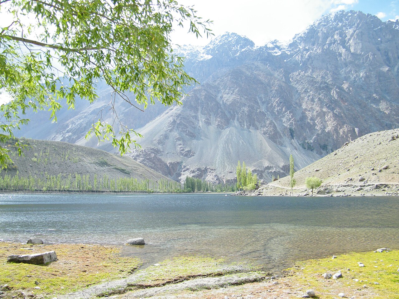
What there is to see
- Phander Lake
- The largest of the four lakes in the valley.
- The braided river
- Where the Gilgit river comes apart and rejoins — the signature of the place.
- Shandur Top
- West of here at about 3,700 metres, with the polo ground and the July tournament.
- The Ghizer valleys
- Ishkoman, Yasin and Gupis, on the way out from Gilgit.
- Gilgit
- 184 km east, and as far as the distances here are measured.
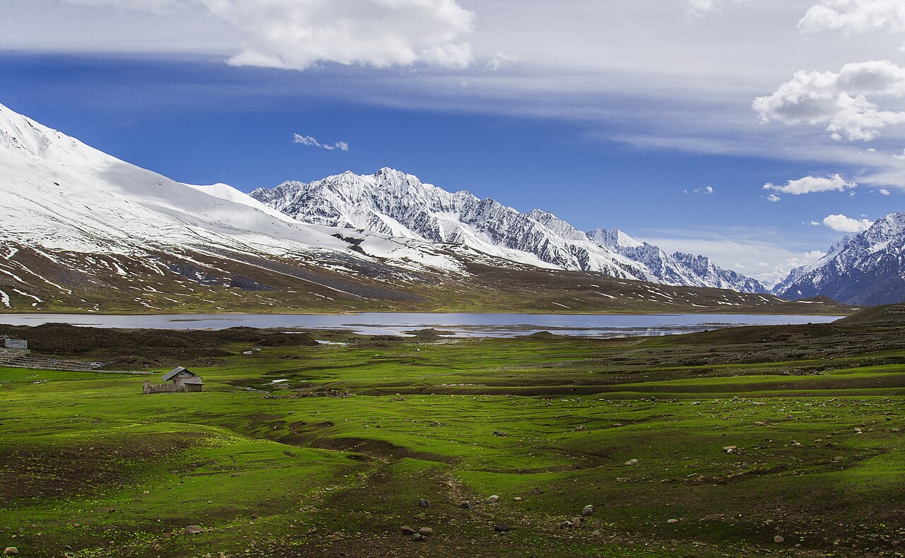
When to go, and when not to
May to October. July if the point is Shandur and the polo; the crossing to Chitral is only sensible in high summer.
The road west of Gilgit is long and slow at any time of year and closes in sections in winter. This is not a place to arrive at after dark.
Where this comes from
- Phander — Wikipedia — The 184 kilometres from Gilgit, the road to Shandur and on to Chitral, the four lakes, and the Gilgit river dividing and rejoining through the valley. Written from it, not copied; Wikipedia is CC BY-SA 4.0.
- MET Norway — The live forecast and the valley's height, CC BY 4.0.
- OpenStreetMap — Road distances and driving times, via OSRM.