
Sharda
Neelum District, Azad Kashmir
On video
Sharda University Neelum Valley | Azad Kashmir | History by sherin zada on YouTube. Not ours, and not an endorsement — it is the clearest look at the drive and the valley we could find.
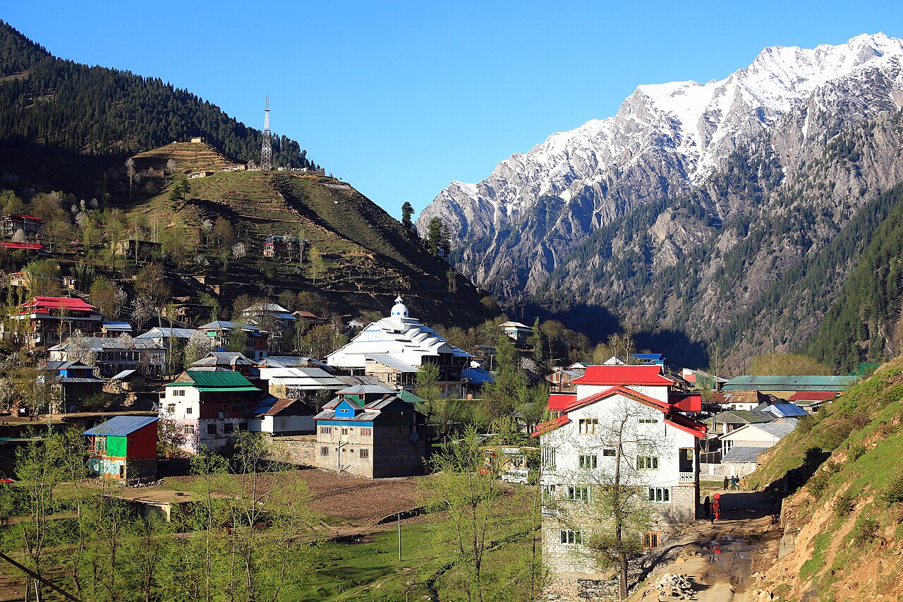
Sharda is a village on the Neelum river, roughly halfway up the valley, with the ruins of one of the most important universities of the medieval subcontinent standing in a field above it. The script that northern India wrote in for centuries is named after this place.
How far you can drive: The distances below are to Muzaffarabad, where the Neelum valley road starts. Sharda is about 150 kilometres further up that road — a long half-day on top of whatever the drive to Muzaffarabad takes, and the Line of Control is ten kilometres away.
What it costs to drive to Muzaffarabad
| From | Distance | Driving | Petrol |
|---|---|---|---|
| Islamabad | 126 km | 1.5 h | Rs 3,400 |
| Rawalpindi | 140 km | 1.7 h | Rs 3,800 |
| Lahore | 493 km | 5.7 h | Rs 13,500 |
| Karachi | 1544 km | 18 h | Rs 42,200 |
| Peshawar | 273 km | 3.3 h | Rs 7,500 |
| Multan | 662 km | 8 h | Rs 18,100 |
A car doing 12 km/l at today’s Rs 328.00/litre. Open a row to work it out for your own car, your own speed and with the air conditioning on — or see every distance from Muzaffarabad.
What it is
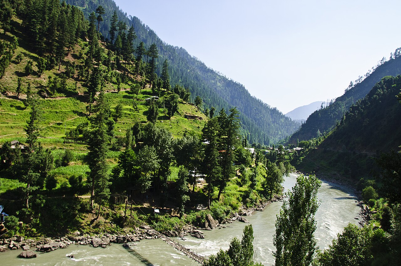
A village and tehsil of Neelum District, also spelled Shardi, on the banks of the Neelum river at 1,981 metres. It is about 150 kilometres from Muzaffarabad and ten kilometres from the Line of Control.
The name is another name for Saraswati, the Hindu goddess of knowledge. Two peaks overlook the valley — Shardi and Nardi — named in local legend after two princesses.
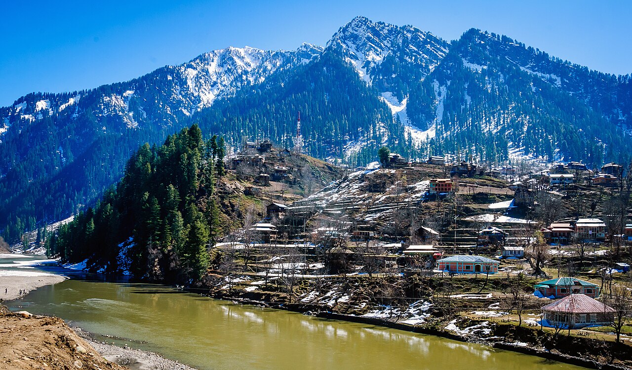
Sharada Peeth
Between the sixth and twelfth centuries this was among the most prominent temple universities in South Asia, known particularly for its library; the accounts of it describe scholars travelling very long distances to reach its texts. Kumārajīva, Thonmi Sambhota, Rinchen Zangpo, Kalhana and Adi Shankara are all associated with it.
It gave its name to the Sharada script, which spread across northern India, and to Kashmir's old epithet Sharada Desh — the country of Sharada. By the eleventh century al-Biruni listed it among the most famous Hindu temples of the subcontinent, alongside Multan, Sthaneshwar and Somnath.
For Kashmiri Pandits it is one of three holiest places of pilgrimage, with the Martand Sun Temple and Amarnath. Until 1947 a fair was held here every leap year — the last in 1944 — when ashes of those who had died in the preceding twelve years were immersed in the river.
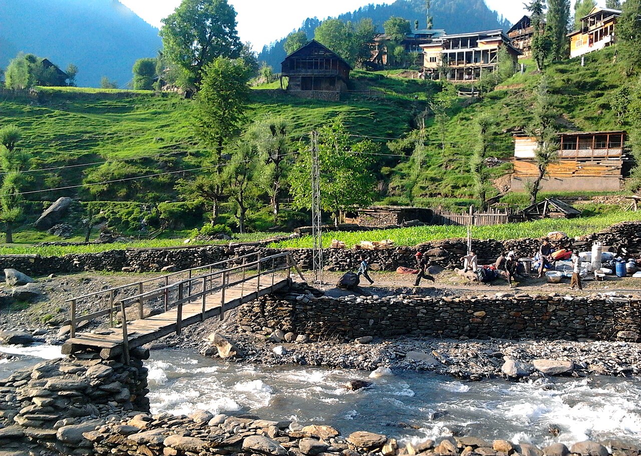
The valley around it
Opposite Sharda, on the right bank, the Surgan Nullah joins the Neelum, and a track runs up it to the Noori Nar pass and over into the Kaghan valley. That is a walking route, not a drive.
Sharda is the natural stop on a Neelum valley trip: far enough up that the drive is a day's work, and short of Kel where the metalled road ends.
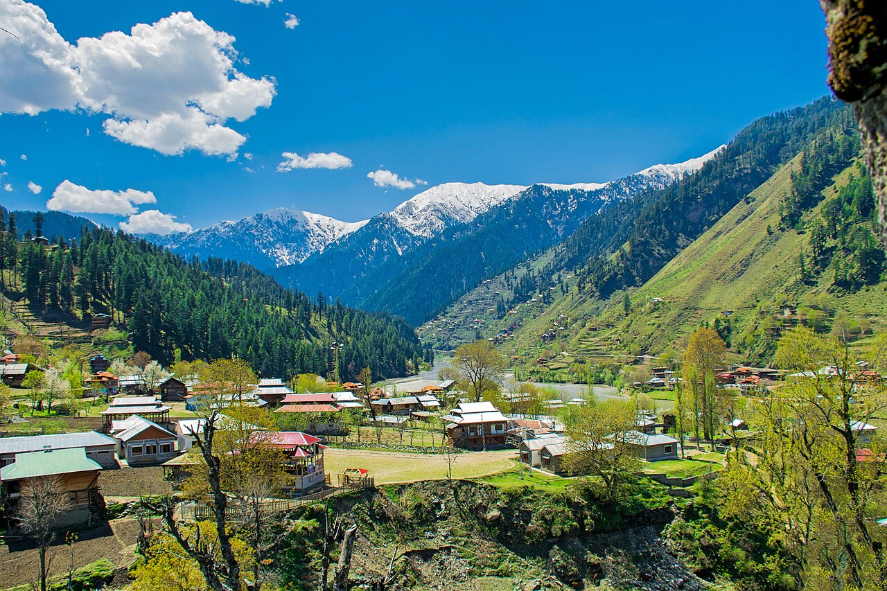
What there is to see
- Sharada Peeth
- The ruins of the temple university in a field above the river — the reason to come.
- The river front
- The Neelum through the village, with Shardi and Nardi above it.
- Surgan
- The side nullah opposite, and the walking route over the Noori Nar pass to Kaghan.
- Kel
- Two hours further up the valley, where the metalled road gives out.
- Dowarian
- Back down the road, and the start of the jeep track to Ratti Gali.
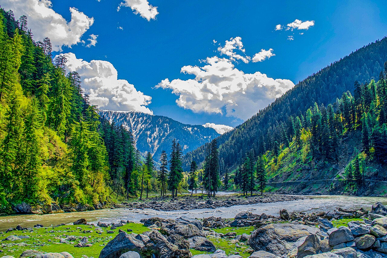
When to go, and when not to
May to September. The valley road above Athmuqam is at its best then, and it is the only window in which carrying on towards Kel makes sense.
Winter is hard on this road. Snow and landslides shut stretches of the valley without notice, and a village 150 kilometres up it is not a place to be caught by either.
Where this comes from
- Sharda, Azad Kashmir — Wikipedia — The 1,981-metre height, the name, the Shardi and Nardi peaks, the Surgan Nullah and the Noori Nar pass. Written from it, not copied; Wikipedia is CC BY-SA 4.0.
- Sharada Peeth — Wikipedia — The sixth-to-twelfth-century dating, the library, the scholars, the Sharada script, al-Biruni's list, the pilgrimage status, the 150 km from Muzaffarabad and the ten from the Line of Control.
- MET Norway — The live forecast and the town's height, CC BY 4.0.
- OpenStreetMap — Road distances and driving times, via OSRM.