
Shogran
Kaghan Valley, Mansehra District
On video
Shogran, Siri Paye & Naran Valley Season Update by Go Pak North on YouTube. Not ours, and not an endorsement — it is the clearest look at the drive and the valley we could find.
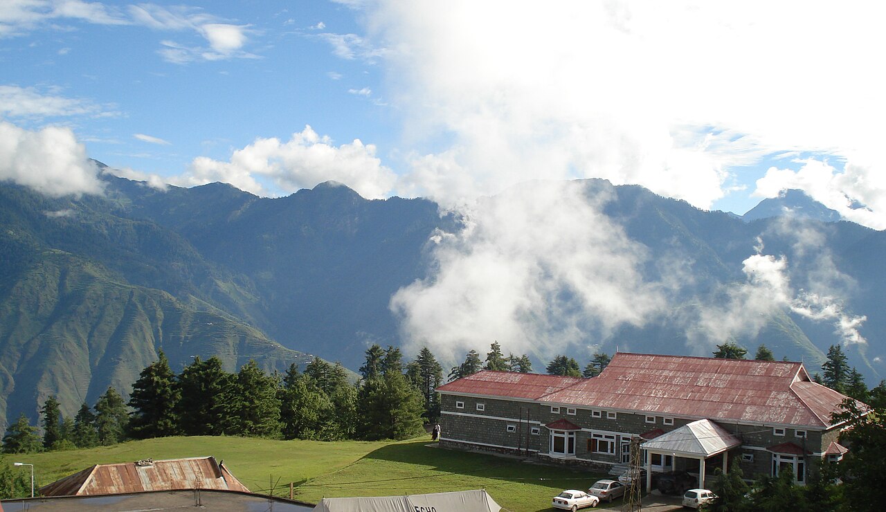
Shogran is a plateau above the Kaghan valley at 2,362 metres, 34 kilometres from Balakot and about 212 from Islamabad. It is the easy one: a surfaced road to the top, and the meadows above it reached by jeep.
Weather at Shogran
Up at 2,338 m: 12.1°C there now, clear. Over the next 24 hours -0.9°C to 13.5°C. It goes below freezing.
This is the weather at Shogran, not a road report — whether the road is open depends on ploughing, landslides and local decisions no forecast knows about, so check before you set off. Forecast from MET Norway, CC BY 4.0.
What it costs to drive there
| From | Distance | Driving | Petrol |
|---|---|---|---|
| Islamabad | 189 km | 2.7 h | Rs 5,200 |
| Rawalpindi | 199 km | 2.8 h | Rs 5,400 |
| Lahore | 549 km | 6.5 h | Rs 15,000 |
| Karachi | 1581 km | 20.4 h | Rs 43,200 |
| Peshawar | 283 km | 3.5 h | Rs 7,700 |
| Multan | 718 km | 8.8 h | Rs 19,600 |
A car doing 12 km/l at today’s Rs 328.00/litre. Open a row to work it out for your own car, your own speed and with the air conditioning on — or see every distance from Shogran.
What it is
A hill station on a plateau in the Kaghan valley, in Mansehra District, at 2,362 metres. It has become popular in the last few decades rather than being an old colonial station, and it is mainly a summer place.
Balakot is 34 kilometres away; the road from Islamabad measures about 212 kilometres.
Siri and Paye
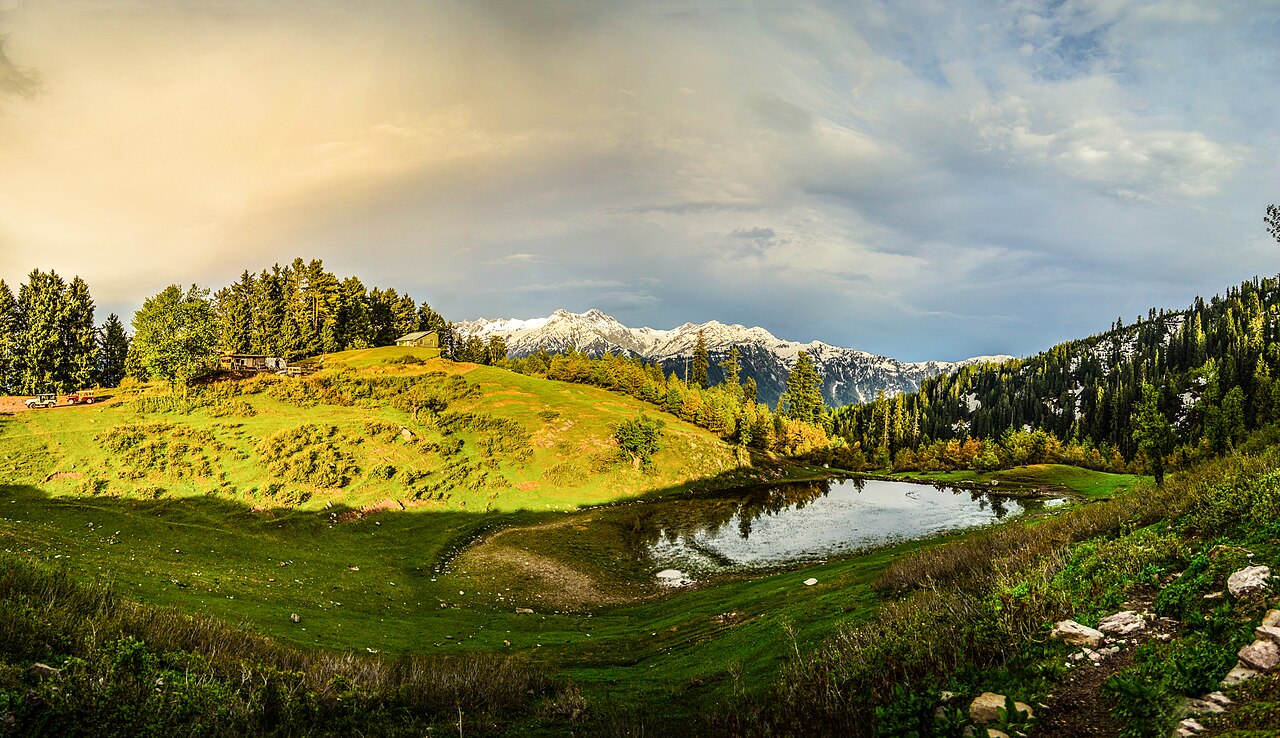
The meadows above Shogran are the reason most people come. The track up to them is not a road — it is a jeep track, and jeeps wait at Shogran for exactly that trade.
They are two separate meadows that get spoken of as one place. Siri is the lower; Paye is the higher grassland above it, with the view back down the Kaghan valley.
The drive
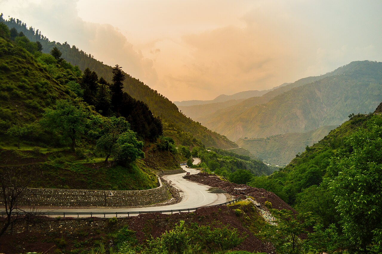
The road from Kiwai up to Shogran is steep and surfaced, and an ordinary car manages it. Past Shogran it does not.
That split — tarmac to the town, jeep track to the view — is the thing to know before deciding what to bring.
What there is to see
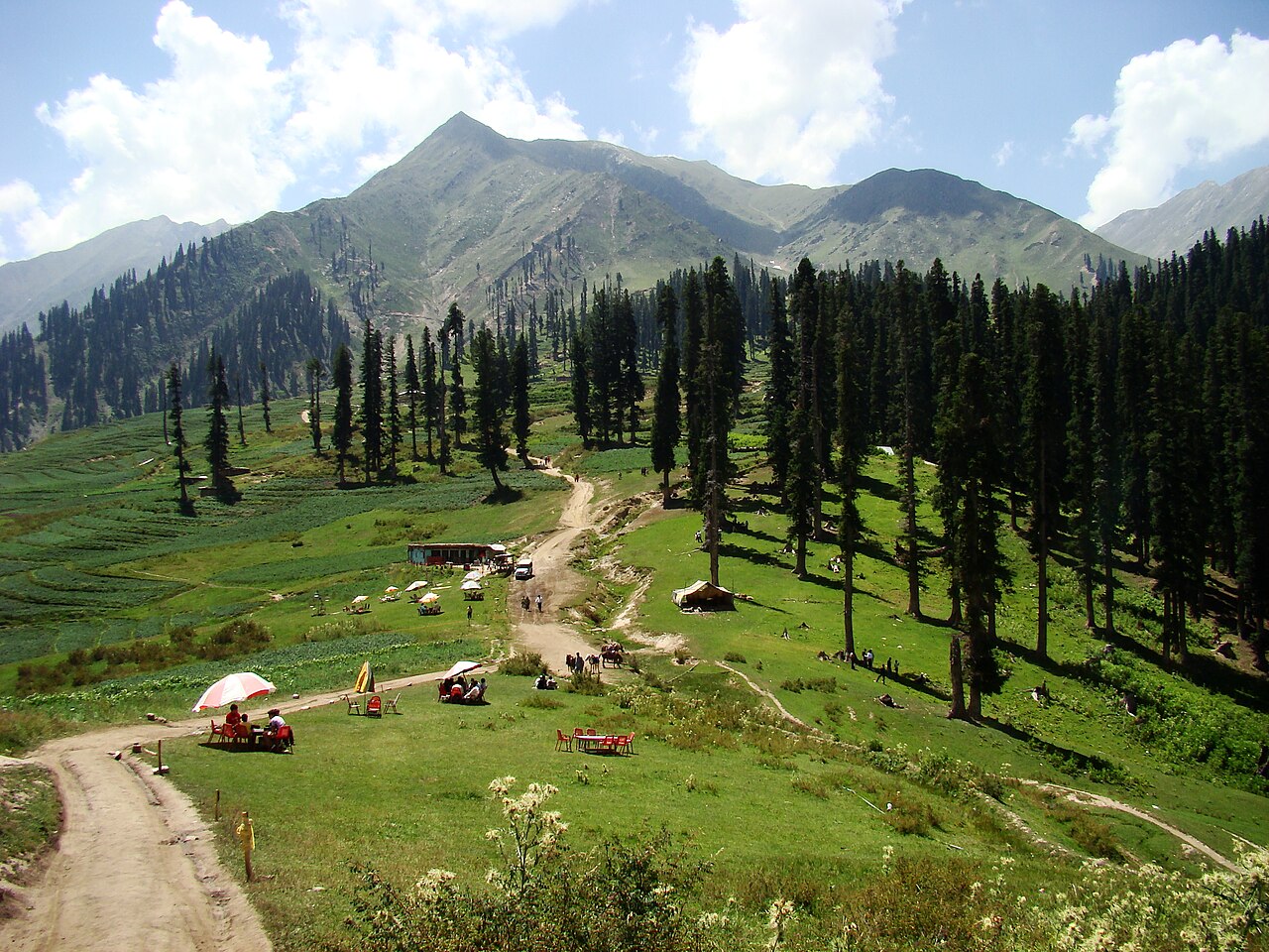
- Siri Paye
- The meadows above the town. Jeep track only, and about an hour each way.
- Makra Peak
- The walk from Paye, which takes most of a day.
- Kiwai
- Down on the Kaghan road, where the climb to Shogran starts.
- The Kaghan valley itself
- Shogran is a detour off the road to Naran rather than a destination at the end of one.
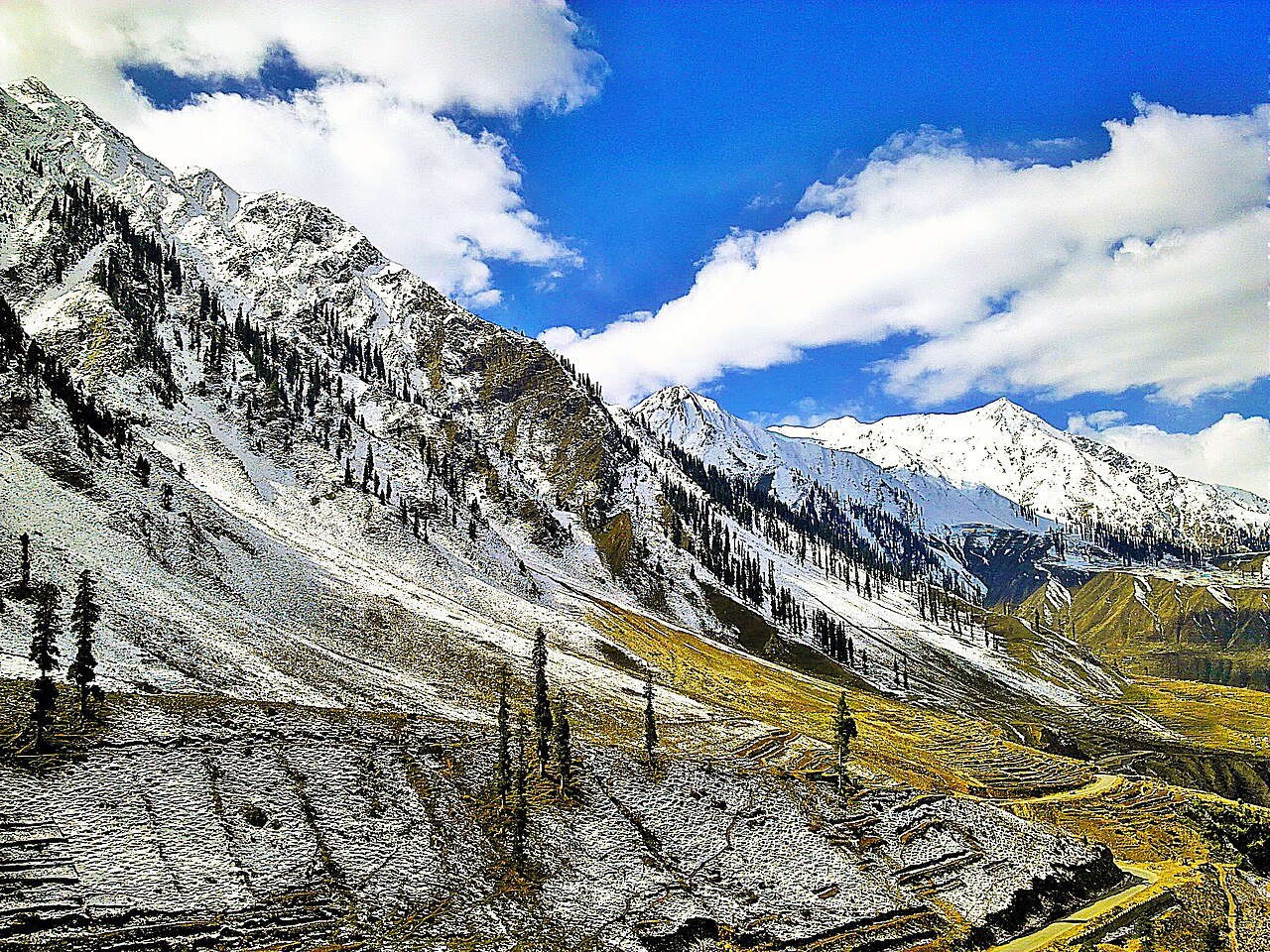
When to go, and when not to
June to August is the peak season and the weather is temperate through it. Shogran is open to visitors in winter too, which is unusual for this valley.
The jeep track to Paye is the part that closes, not the road to Shogran.
Where this comes from
- Shogran — Wikipedia — The elevation, the distance from Balakot and Islamabad, and the season. Written from it, not copied; Wikipedia is CC BY-SA 4.0.
- MET Norway — The live forecast and the place's height, CC BY 4.0.
- OpenStreetMap — Road distances and driving times, via OSRM.