
Toli Pir
Poonch District, Azad Kashmir
On video
Why Toli Pir Needs to Be on Your Bucket List by Travel and Tell on YouTube. Not ours, and not an endorsement — it is the clearest look at the drive and the valley we could find.
Toli Pir is a hilltop above Rawalakot where three ridges meet, with the remains of an old Sufi shrine on the highest point and open grass in every direction. Wikipedia puts it at about 2,743 metres. It is thirty kilometres from the town and two hours of them.
How far you can drive: The distances below are to Rawalakot. Toli Pir is about 30 kilometres further and takes roughly two hours — which tells you what the road is like. It is the highest point in the north-east of Rawalakot and three mountain ridges start from it.
Weather at Rawalakot
Up at 1,639 m: 11.3°C there now, clear. Over the next 24 hours 7.9°C to 18.2°C.
This is the weather at Rawalakot, not a road report — whether the road is open depends on ploughing, landslides and local decisions no forecast knows about, so check before you set off. Forecast from MET Norway, CC BY 4.0.
What it costs to drive to Rawalakot
| From | Distance | Driving | Petrol |
|---|---|---|---|
| Islamabad | 110 km | 1.4 h | Rs 3,000 |
| Rawalpindi | 104 km | 1.3 h | Rs 2,800 |
| Lahore | 354 km | 4.6 h | Rs 9,700 |
| Karachi | 1510 km | 17.8 h | Rs 41,300 |
| Peshawar | 289 km | 3.3 h | Rs 7,900 |
| Multan | 629 km | 7.8 h | Rs 17,200 |
A car doing 12 km/l at today’s Rs 328.00/litre. Open a row to work it out for your own car, your own speed and with the air conditioning on — or see every distance from Rawalakot.
What it is
A hilltop area in Rawalakot Tehsil, in Poonch District of Azad Kashmir, about 30 kilometres and a two-hour drive from Rawalakot. Its published elevation is around 2,743 metres.
It is the highest point in the north-eastern part of Rawalakot and the origin of three separate mountain ridges, which is why the view goes as far as it does: Abbaspur, Bagh and the Poonch river are all visible from the top.
What is up there
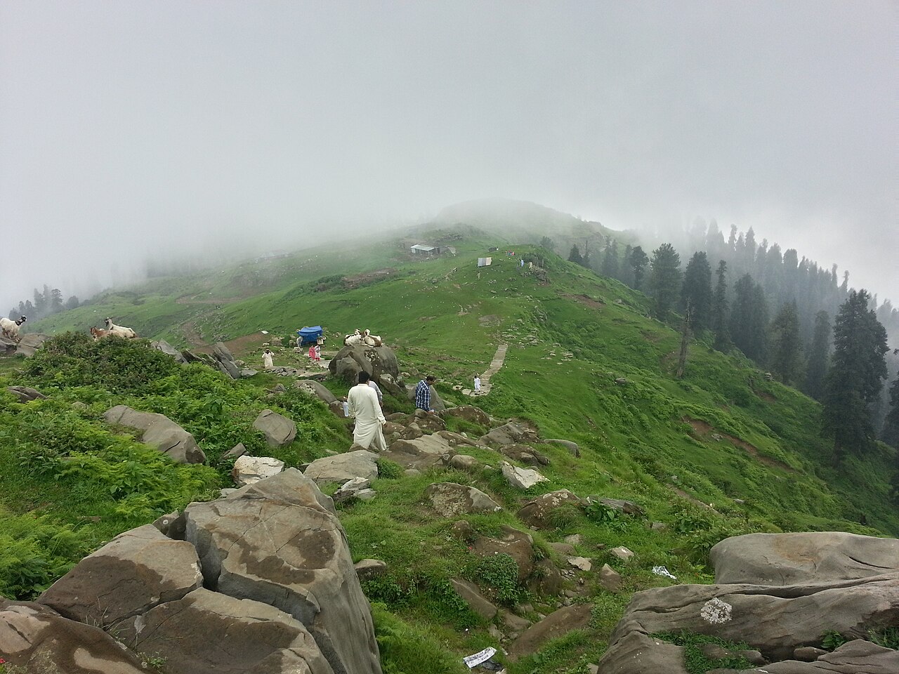
Not much, and that is the appeal — open grass rather than forest, which is unusual in this part of Kashmir and is what the photographs are of.
There are remains of an old Sufi shrine on the highest hilltop. The tourist rest house on the way up is in a good spot of its own.
Getting there, and the two hours
Thirty kilometres in two hours is about fifteen kilometres an hour, and that arithmetic is the most useful thing on this page. It is a hill road, not a highway, and the time is the time.
It can also be approached from the Las Danna side, from Bagh, which is the other way people come at it.
What there is to see
- The top
- Open grass, three ridges meeting, and the remains of a Sufi shrine.
- The view
- Abbaspur, Bagh and the Poonch river from one spot.
- The rest house
- On the way up, and in a better position than most.
- Rawalakot
- Thirty kilometres below, and as far as the distances here are measured.
- Banjosa
- The other short trip out of Rawalakot, in the opposite direction.
When to go, and when not to
Summer — Toli Pir is most accessible in the summer months and draws thousands then. The grass is the point and it is green from about May.
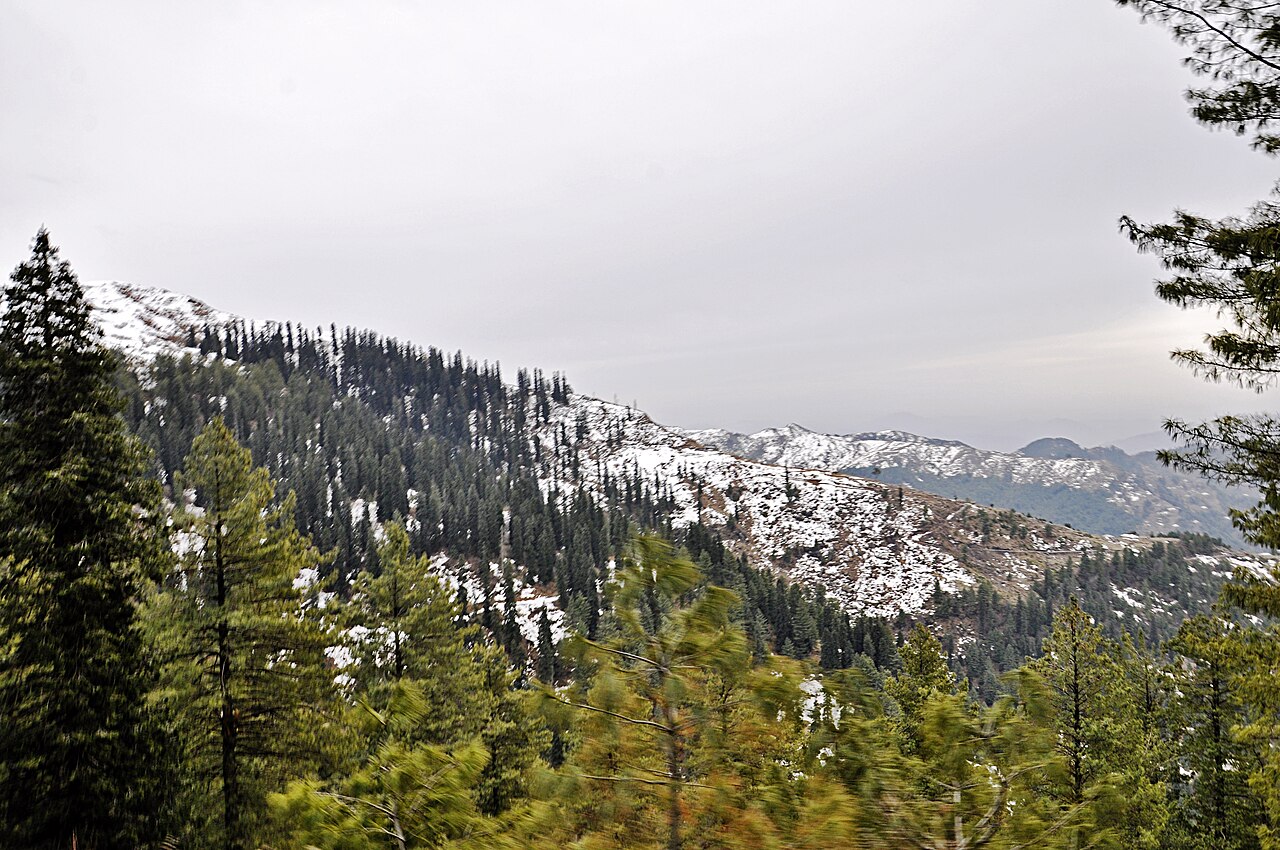
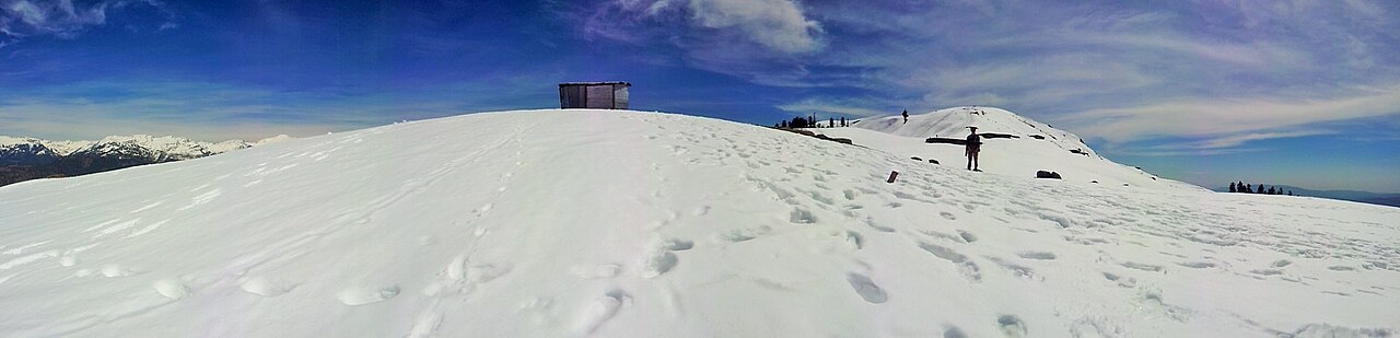
From October to March it gets cold and snow is expected. People do go up in snow, and the two-hour road becomes something else entirely when they do.
Where this comes from
- Toli Pir — Wikipedia — The 2,743-metre published elevation, the 30 kilometres and two-hour drive from Rawalakot, the three ridges, the view towards Abbaspur, Bagh and the Poonch river, the Sufi shrine remains, the rest house, and the summer season. Written from it, not copied; Wikipedia is CC BY-SA 4.0.
- MET Norway — The live forecast and the town's height, CC BY 4.0.
- OpenStreetMap — Road distances and driving times, via OSRM.