
Attabad Lake
Gojal, Hunza District, Gilgit-Baltistan
On video
Attabad Tunnel, Hunza — Pakistan by Karwan-e-Kamran on YouTube. Not ours, and not an endorsement — it is the clearest look at the drive and the valley we could find.
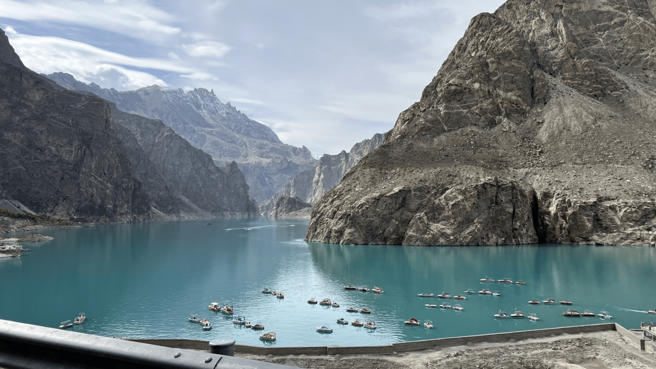
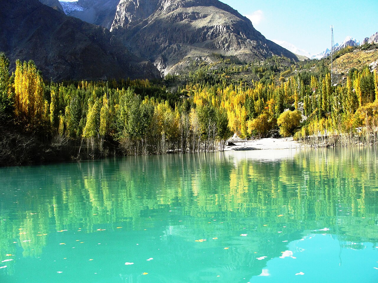
Attabad Lake did not exist before January 2010. A landslide dropped a mountainside into the Hunza river, drowned twenty-one kilometres of valley and nineteen kilometres of the Karakoram Highway, and left behind the most photographed water in Gilgit-Baltistan. Twenty people were killed making it.
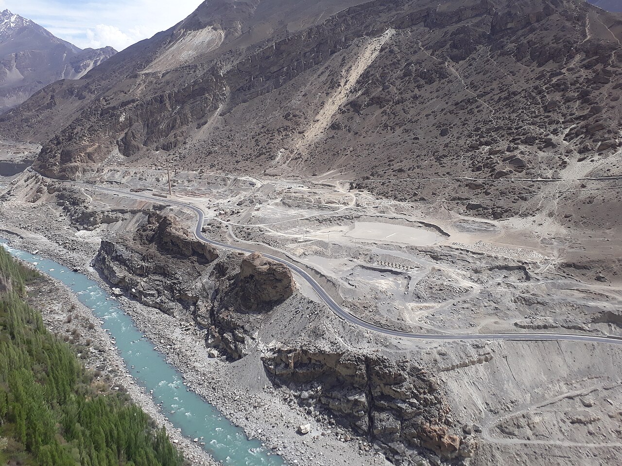
Before you set off: You can drive to the shore — the Karakoram Highway runs along it. That road is new: the old one is under the water, and the five Pak-China Friendship tunnels, about seven kilometres of them, were cut through the mountain to replace it. Before they opened in 2015 the only way past was by boat.
Weather at Attabad Lake
Up at 2,412 m: 2.7°C there now, clear. Over the next 24 hours -6.1°C to 4°C. It goes below freezing.
This is the weather at Attabad Lake, not a road report — whether the road is open depends on ploughing, landslides and local decisions no forecast knows about, so check before you set off. Forecast from MET Norway, CC BY 4.0.
What it costs to drive there
| From | Distance | Driving | Petrol |
|---|---|---|---|
| Islamabad | 694 km | 8.6 h | Rs 18,800 |
| Rawalpindi | 693 km | 8.7 h | Rs 18,800 |
| Lahore | 969 km | 12.3 h | Rs 26,200 |
| Karachi | 2094 km | 24.7 h | Rs 56,700 |
| Peshawar | 715 km | 9.1 h | Rs 19,400 |
| Multan | 1214 km | 14.7 h | Rs 32,900 |
A car doing 12 km/l at today’s Rs 325.00/litre. Open a row to work it out for your own car, your own speed and with the air conditioning on — or see every distance from Attabad Lake.
Distances into Gilgit-Baltistan are the year-round Karakoram Highway route. The shortcut over Babusar Top is roughly a hundred kilometres less, and is open from about mid-July to late September.
What happened
On 4 January 2010 a landslide came down at Attabad village, about fourteen kilometres upstream of Karimabad, and dammed the Hunza river. Twenty people died. The river stopped flowing for five months.
Around 6,000 people upstream were displaced and another 25,000 were cut off when the road went under. By the first week of June the lake was twenty-one kilometres long and over a hundred metres deep, and had begun spilling over the landslide dam — submerging lower Shishkat and flooding part of Gulmit, the headquarters of Gojal. Over 170 houses and 120 shops went under, and with the Karakoram Highway blocked, food and medicine could not get in.
The road that replaced the road
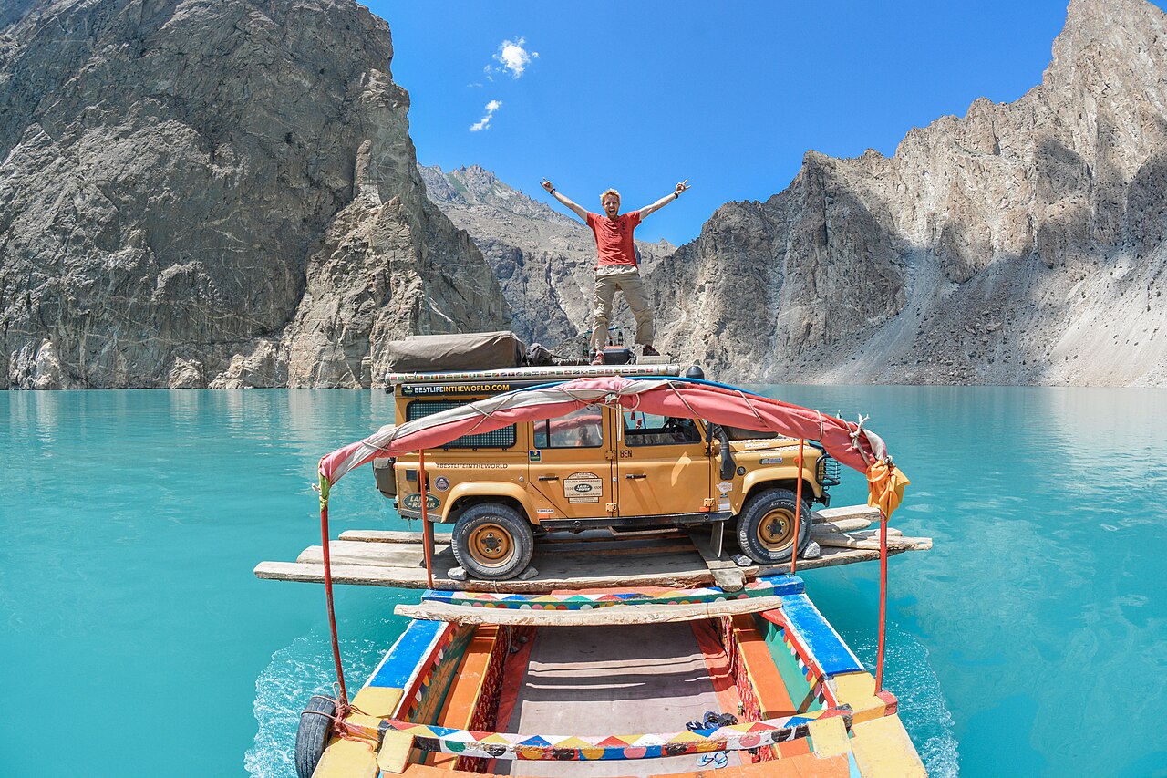
Nineteen kilometres of the Karakoram Highway were flooded — the single artery of the whole region. For five years the way past was by boat, with vehicles and freight loaded onto barges.
The replacement is the set of five tunnels, roughly seven kilometres of them, cut through the mountain above the water. They are the reason you can now drive from Hunza to the Chinese border without getting on a boat, and they are the single most impressive piece of road engineering a Pakistani driver is likely to use.
What it is now
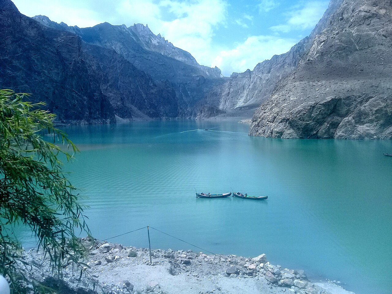
A tourist lake: boating, jet-skiing, fishing in summer, and winter sports when it freezes. There are hotels along the shore that did not exist fifteen years ago.
It is about twenty minutes from Karimabad on the highway, which makes it the easiest half-day out of Hunza, and most people on the way to Khunjerab stop here whether they planned to or not.

What there is to see
- The lake shore
- Boats, jet-skis and a row of new hotels, right beside the highway.
- The Attabad tunnels
- Five of them, about seven kilometres, through the mountain above the water.
- Gulmit
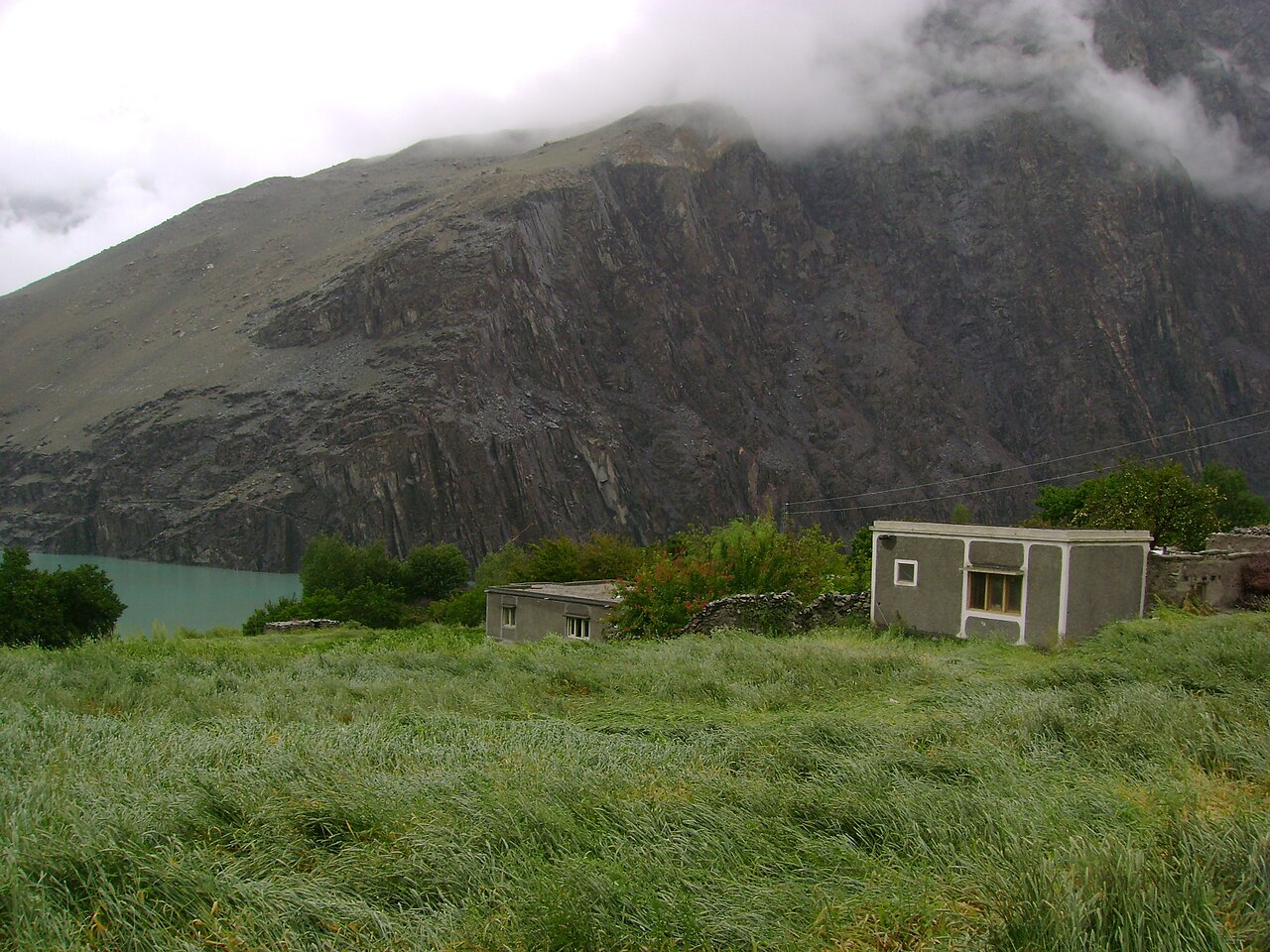
- Up the valley, the Gojal headquarters — about 40 per cent of it was submerged in 2010.
- Hussaini
- Further on, with the suspension bridge people queue to photograph.
- Karimabad
- Twenty minutes down the valley, with Baltit and Altit forts.
When to go, and when not to
April to October for the water and the boats; the colour people come for is strongest in late spring and autumn. The highway is open year-round now that the tunnels carry it.
Winter freezes the lake, which is its own attraction, but the drive up the Karakoram Highway in snow is a different proposition from the drive in June and should be treated as one.
Where this comes from
- Attabad Lake — Wikipedia — The January 2010 landslide, the twenty deaths, the five-month blockage, the displacement figures, the lake's length and depth, the flooding of Shishkat and Gulmit, and the nineteen kilometres of submerged highway. Written from it, not copied; Wikipedia is CC BY-SA 4.0.
- MET Norway — The live forecast and the lake's height, CC BY 4.0.
- OpenStreetMap — Road distances and driving times, via OSRM.