
Gorakh Hill
Dadu District, Sindh
On video
Is This Really Sindh? Road Trip to Gorakh Hill Station by Raveena Mamnani on YouTube. Not ours, and not an endorsement — it is the clearest look at the drive and the valley we could find.
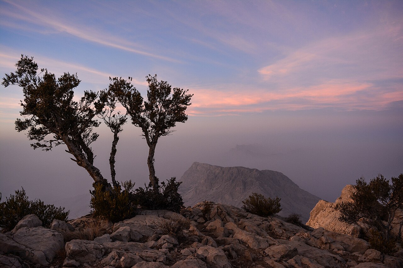
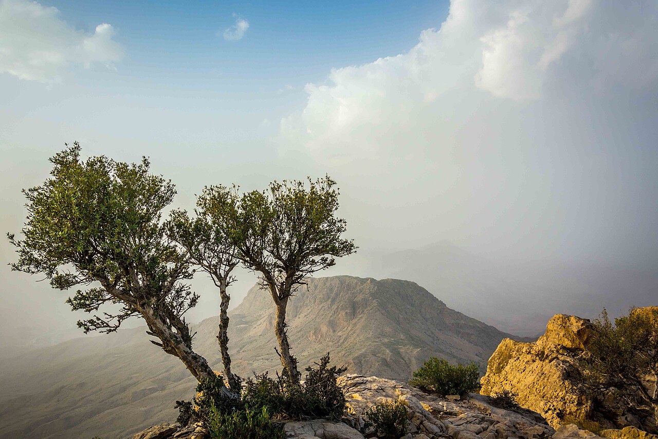
Gorakh is the only hill station in Sindh — a plateau at about 1,700 metres in the Kirthar range, on the border with Balochistan, cold enough at night to astonish anyone who has only known the province from the plains.
How far you can drive: The distances below are to Dadu. Gorakh is 94 kilometres further into the Kirthar range, and that road is the trip: mostly metalled, but it climbs hard, and the stretch known as Khawar Lak is the part people come back talking about. From Karachi the whole thing is about 423 km and eight hours.
What it costs to drive to Dadu
| From | Distance | Driving | Petrol |
|---|---|---|---|
| Islamabad | 1118 km | 13 h | Rs 30,600 |
| Rawalpindi | 1108 km | 13 h | Rs 30,300 |
| Lahore | 914 km | 10.3 h | Rs 25,000 |
| Karachi | 344 km | 4.2 h | Rs 9,400 |
| Peshawar | 1253 km | 14.4 h | Rs 34,200 |
| Multan | 593 km | 6.8 h | Rs 16,200 |
A car doing 12 km/l at today’s Rs 328.00/litre. Open a row to work it out for your own car, your own speed and with the air conditioning on — or see every distance from Dadu.
What it is
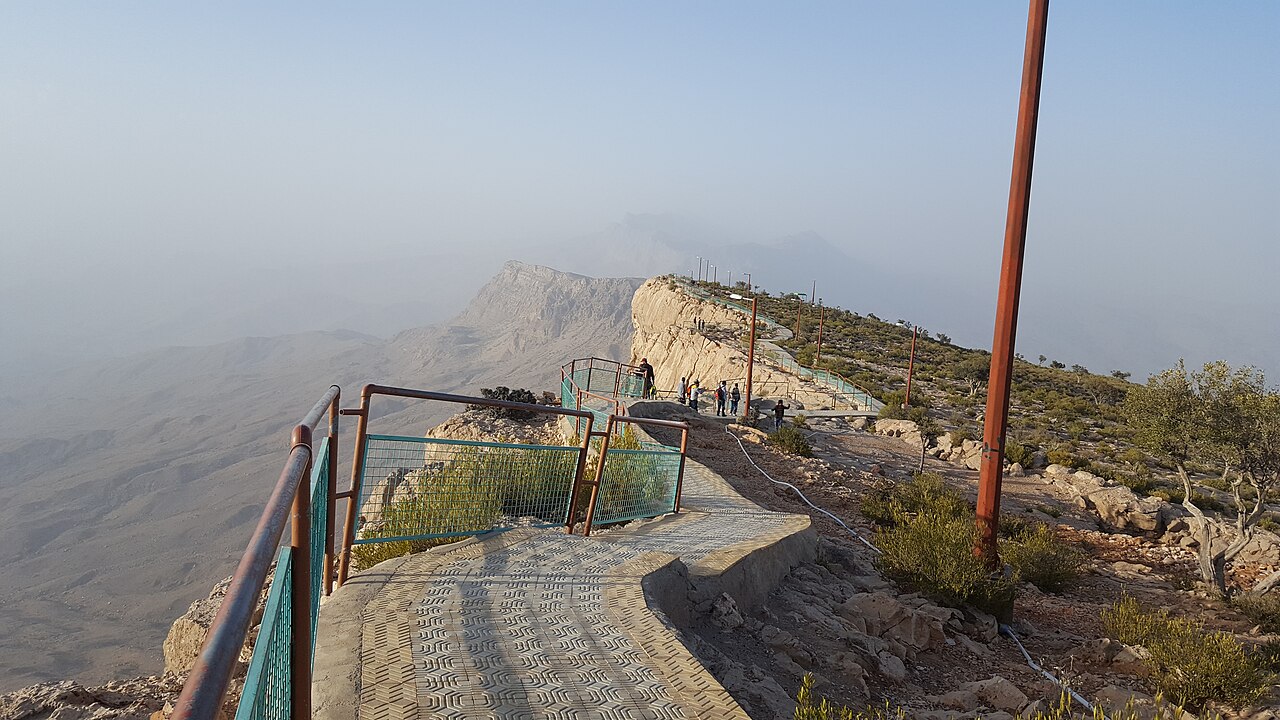
A hill station in the Kirthar mountains, 94 kilometres north-west of Dadu, high enough to be cooler than anywhere else in Sindh. It sits inside Kirthar National Park, on the line between Sindh and Balochistan, which is part of why the country around it feels like neither.
It is about 423 kilometres from Karachi and roughly eight hours' driving, which makes it a two-day trip rather than a day out. Most people camp.
How high it actually is
Wikipedia gives two different heights in the same article — 2,342 metres in the opening line and 1,734 metres further down. They cannot both be right.
Reading the elevation at the coordinates that article itself publishes gives about 1,639 metres, which is close to the lower figure and nowhere near the higher one. So the number used on this page is about 1,700 metres, and the 2,342 appears to be wrong. It is written out here rather than quietly picked, because a reader who checks the same source will find the contradiction too.
The name
Gorakh comes from Gorakhnath, a medieval Hindu saint associated with Shiva, who is said to have wandered these hills and founded a temple to Shiva here. The place was a centre of Hindu pilgrimage because of it.
There is a competing reading in which Gorakh is a Sanskrit or Sindhi word meaning difficult and intricate, which anyone who has driven the last stretch will find plausible.

What there is to see
- The plateau
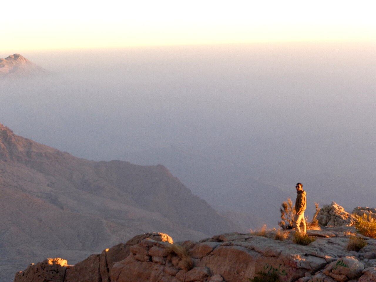
- Flat, open and about 1,700 metres up, with the Kirthar range in every direction.
- Sunrise
- The reason people camp rather than drive up and back in a day.
- Khawar Lak
- The steep stretch on the way up, and the part of the drive everyone remembers.
- Kirthar National Park
- The country the whole road runs through.
- Dadu
- The town 94 km below, and as far as the distances here are measured.



When to go, and when not to
October to March. At 1,700 metres in Sindh the winter is the point — nights are genuinely cold and it does snow, which is the single most unlikely thing about the place.
Summer removes the reason to come: the plateau is cooler than the plains, but the drive up is long and exposed and the heat below is severe.
Where this comes from
- Gorakh Hill — Wikipedia — The Kirthar location, the 94 kilometres from Dadu, the 423 km and eight hours from Karachi, the etymology and the Gorakhnath pilgrimage. The article gives two conflicting elevations; the section above explains which one this page uses and why. Written from it, not copied; Wikipedia is CC BY-SA 4.0.
- MET Norway — The elevation reading used to settle the conflicting heights, CC BY 4.0.
- OpenStreetMap — Road distances and driving times, via OSRM.