
Kot Diji Fort
Khairpur District, Sindh
On video
Kot Diji Fort — A Majestic Symbol of the Talpur Empire by Discover Pakistan on YouTube. Not ours, and not an endorsement — it is the clearest look at the drive and the valley we could find.
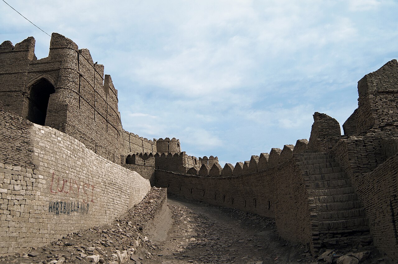
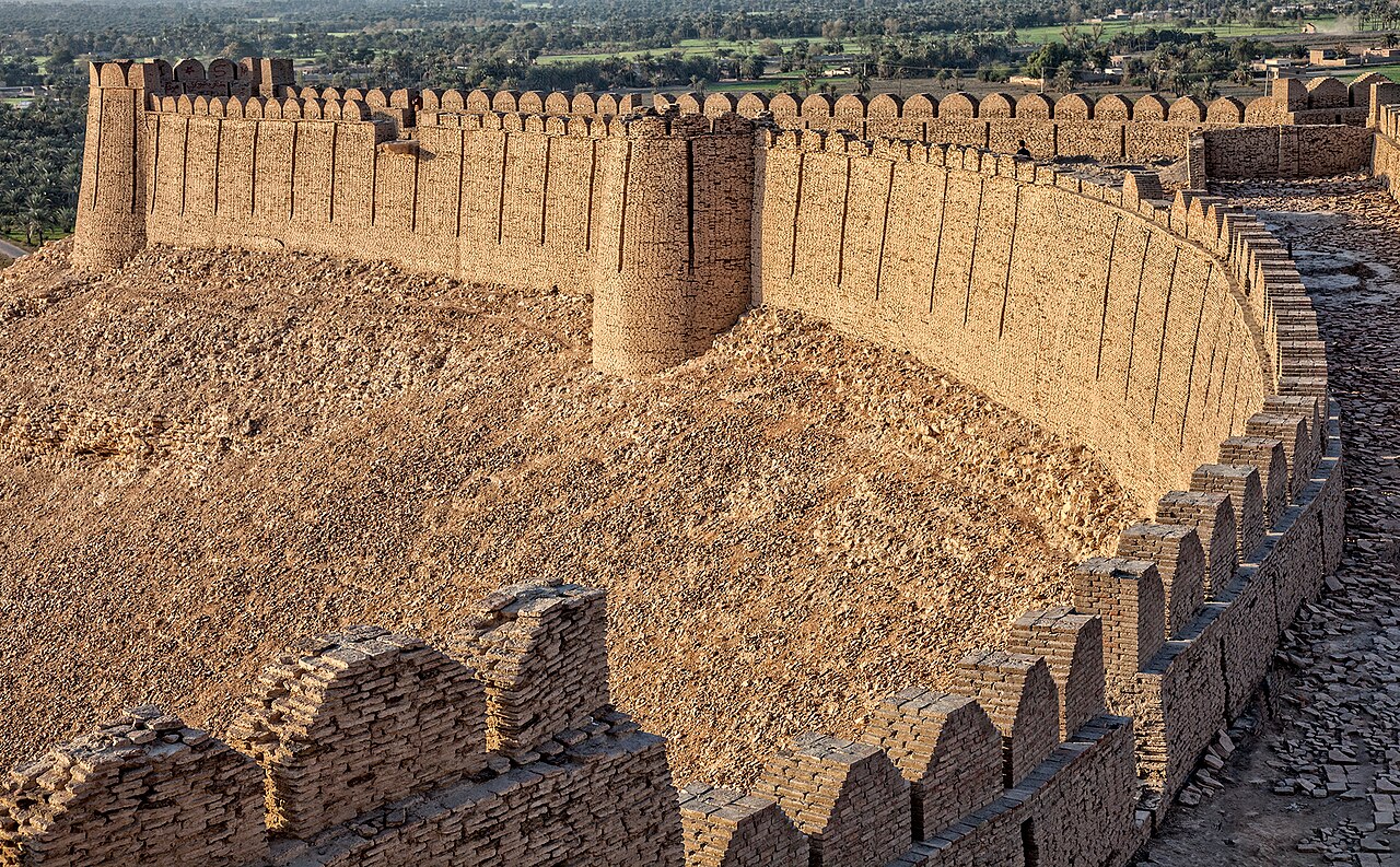
Kot Diji Fort is a Talpur citadel built between 1785 and 1795, standing on a 110-foot hill at the southern end of the Rohri Hills with 1.8 kilometres of wall and three fifty-foot towers. Its Sindhi name means the Fort of the Daughter.
How far you can drive: The distances below are to Khairpur. Kot Diji is a short run south-east of it on good road, and the fort stands on a 33-metre hill above the town — the last part is a climb on foot rather than a drive.
What it costs to drive to Khairpur
| From | Distance | Driving | Petrol |
|---|---|---|---|
| Islamabad | 967 km | 11.1 h | Rs 26,400 |
| Rawalpindi | 956 km | 11.1 h | Rs 26,100 |
| Lahore | 762 km | 8.4 h | Rs 20,800 |
| Karachi | 457 km | 5.7 h | Rs 12,500 |
| Peshawar | 1101 km | 12.5 h | Rs 30,100 |
| Multan | 441 km | 4.9 h | Rs 12,100 |
A car doing 12 km/l at today’s Rs 328.00/litre. Open a row to work it out for your own car, your own speed and with the air conditioning on — or see every distance from Khairpur.
What it is
An eighteenth-century Talpur-era citadel in the town of Kot Diji, Khairpur District, about 40 kilometres east of the Indus at the edge of the Thar desert. Formally it is Fort Ahmadabad; in Sindhi it is the Fort of the Daughter.
It was built between 1785 and 1795 by Mir Sohrab Khan Talpur, and sits on a hill at the southern end of the Rohri Hills.
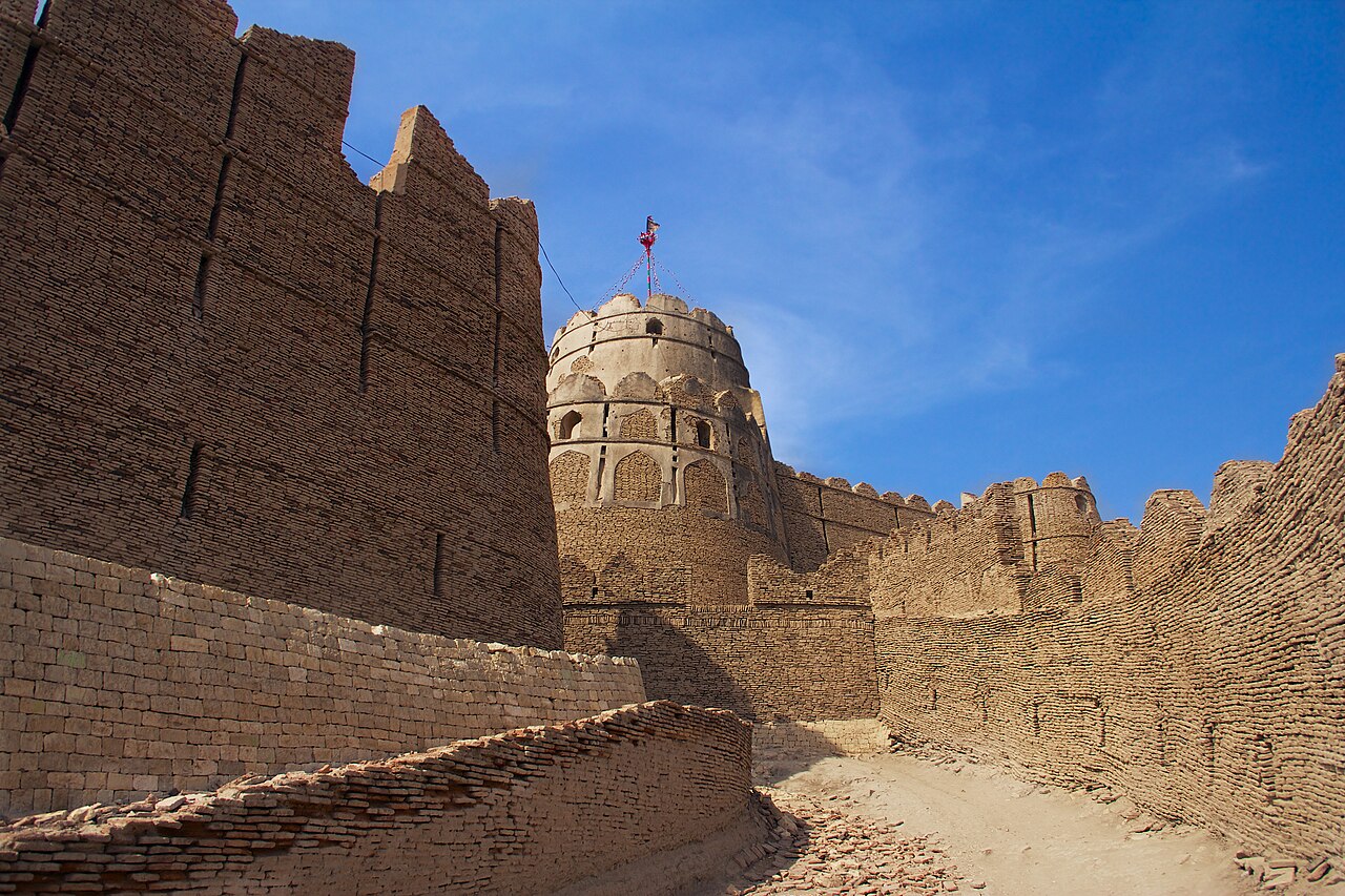
How it is built
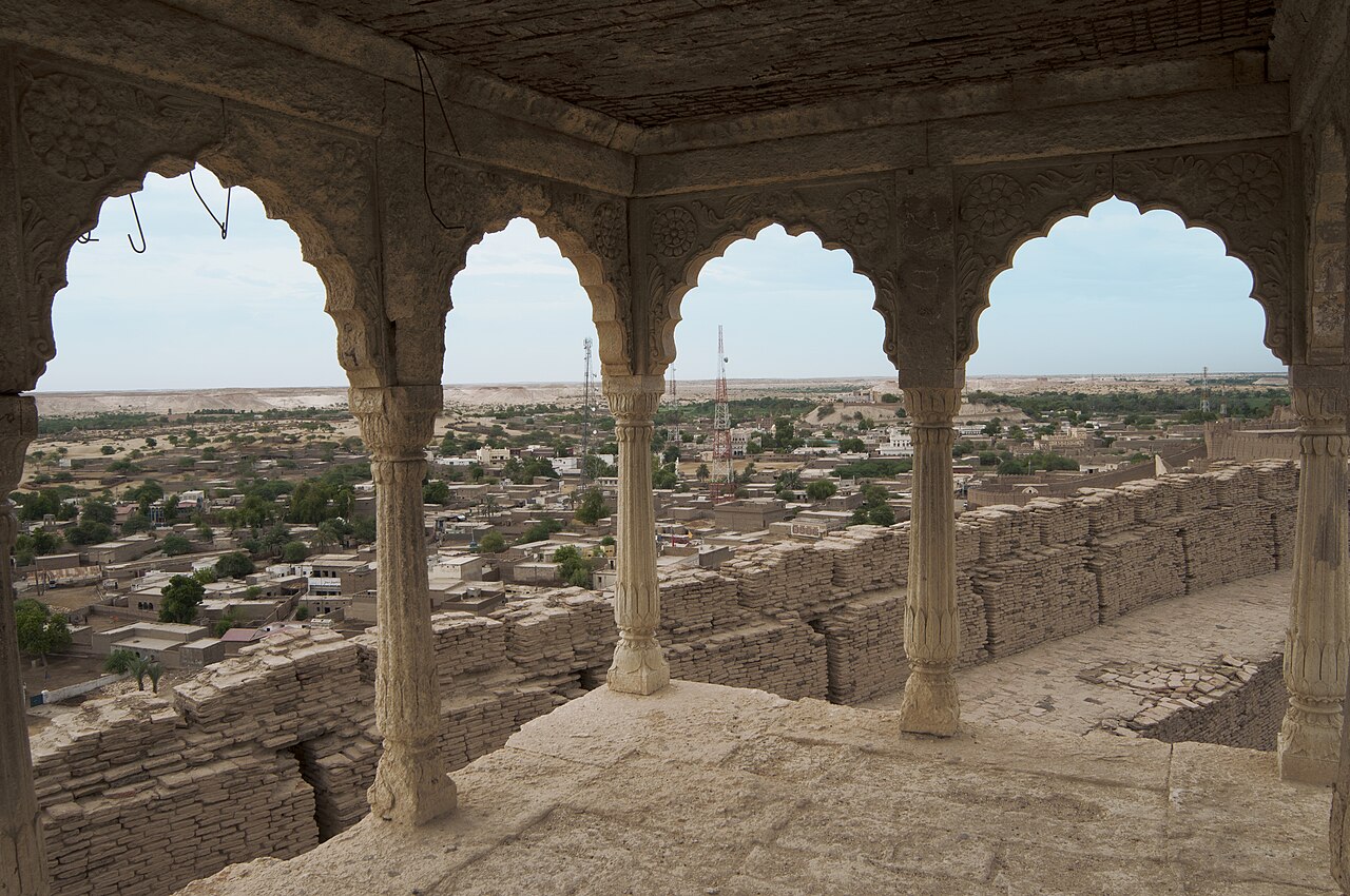
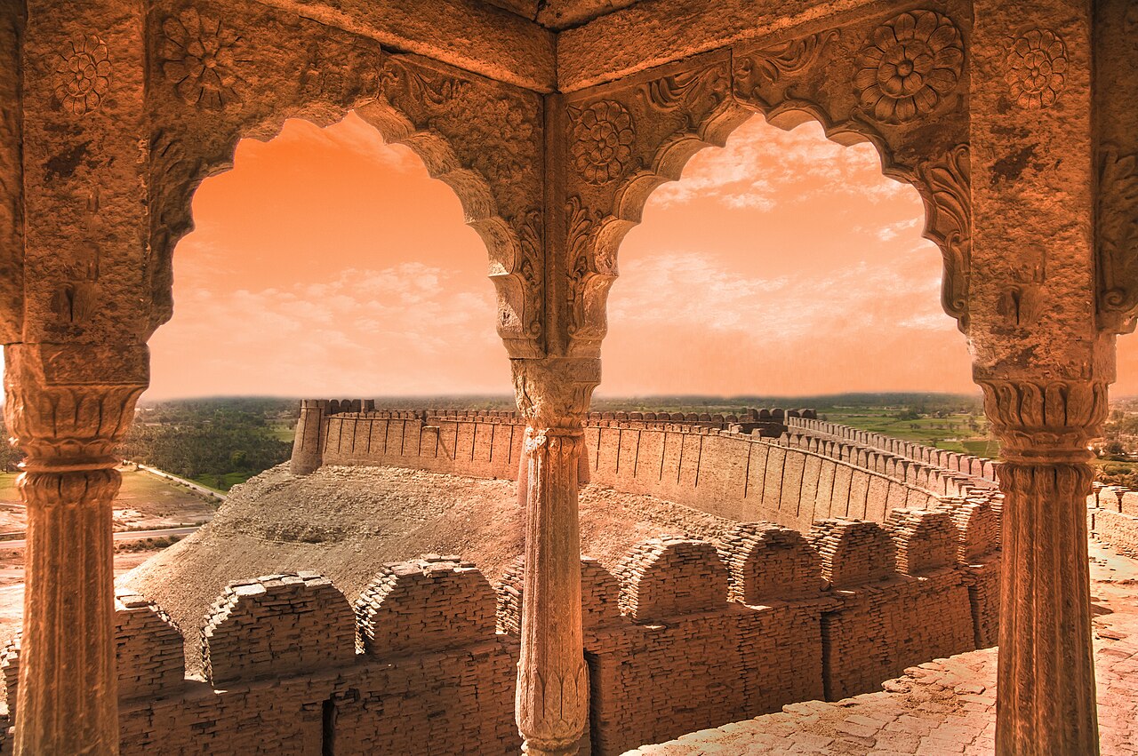
The hill is 33.5 metres — 110 feet — high. The walls on the uppermost part stand 9.1 metres, about thirty feet, and run 1.8 kilometres around, which makes the fortress long and narrow rather than square.
There are three towers placed for the field of fire, each 15.2 metres tall, and numerous cannon positions. Inside are inner passages for protection, a water reservoir, munition storage, a prison, a courtroom, cells for the garrison and a small regal residence.
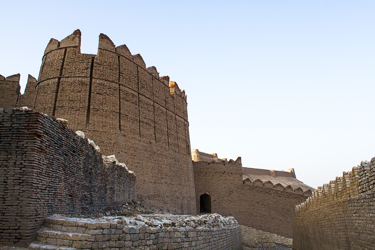
Its condition
The Government of Pakistan has declared it a protected heritage site.
It has also been noted that parts of the fort are under the control of powerful local families, which is the kind of detail that explains more about the state of a monument than a conservation budget does.
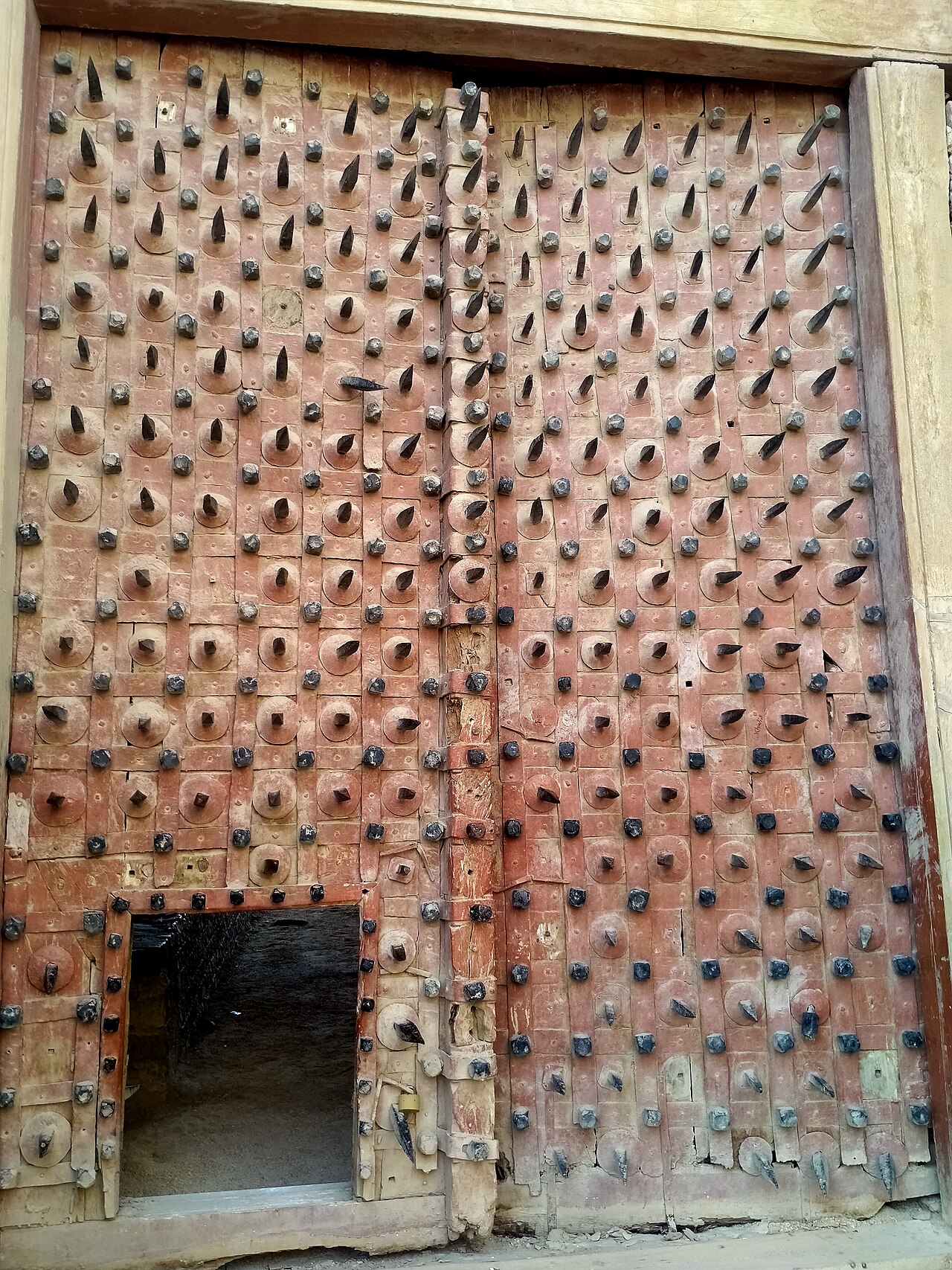
What there is to see
- The walls
- 1.8 kilometres of them, thirty feet high, following the narrow hilltop.
- The towers
- Three, fifty feet each, placed for the guns.
- The gate
- At the top of the climb from the town.
- The inner works
- Reservoir, magazine, prison, courtroom and the small residence.
- Khairpur
- The district town, and as far as the distances here are measured.
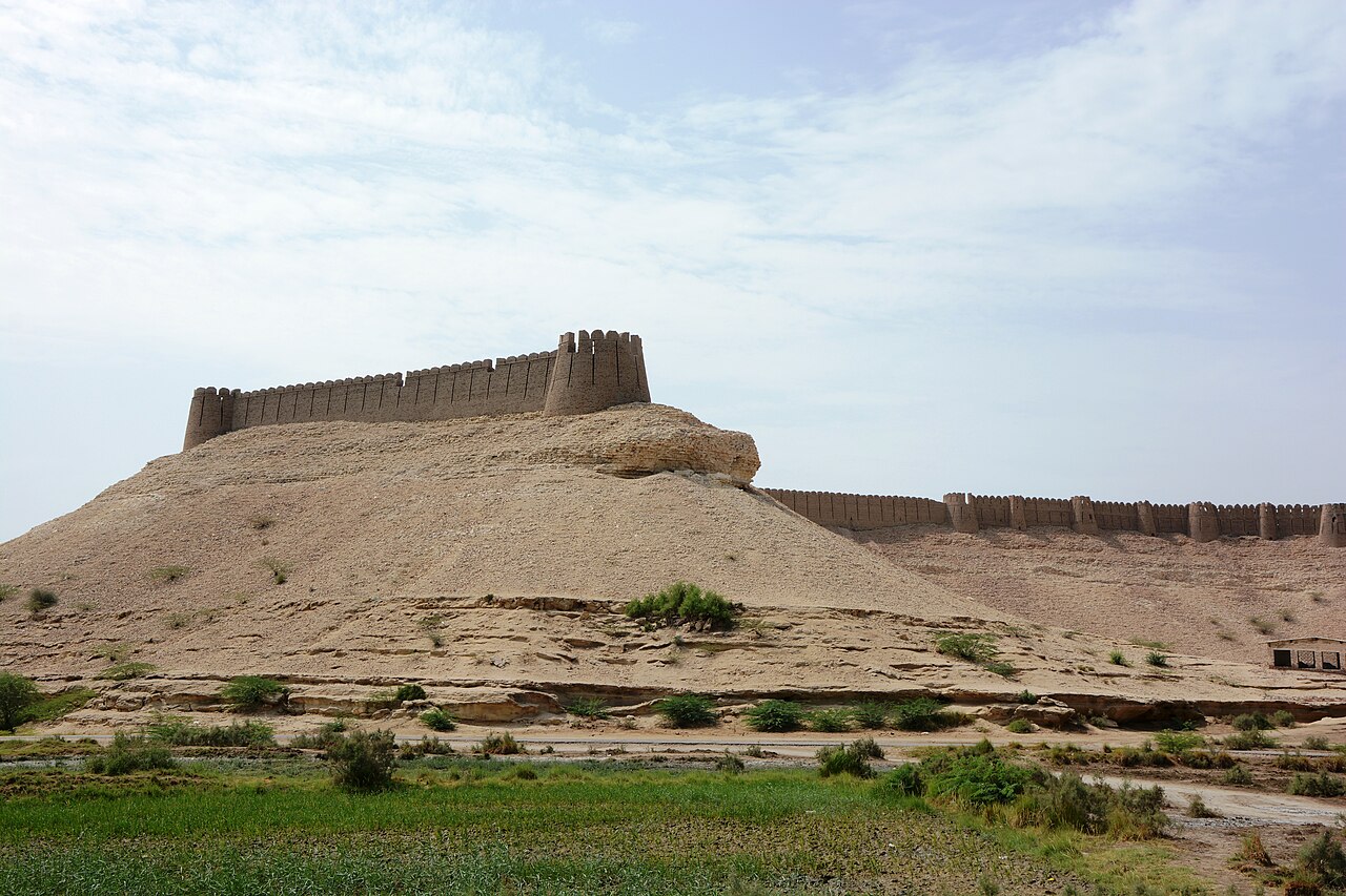
When to go, and when not to
November to February. It is upper Sindh at the edge of the Thar, the climb is exposed, and summer here is severe.
Early, before the heat. The walk up the hill is the only hard part of the trip and it is better done in the first hour of daylight.
Where this comes from
- Kot Diji Fort — Wikipedia — The 1785–1795 construction under Mir Sohrab Khan Talpur, the name and the formal Fort Ahmadabad, the 40 kilometres from the Indus and the Rohri Hills position, the 33.5-metre hill, the 9.1-metre walls and 1.8-kilometre perimeter, the three 15.2-metre towers, the internal structures, and the heritage protection and local control. Written from it, not copied; Wikipedia is CC BY-SA 4.0.
- OpenStreetMap — Road distances and driving times, via OSRM.